
Wagnerstraße in Teublitz
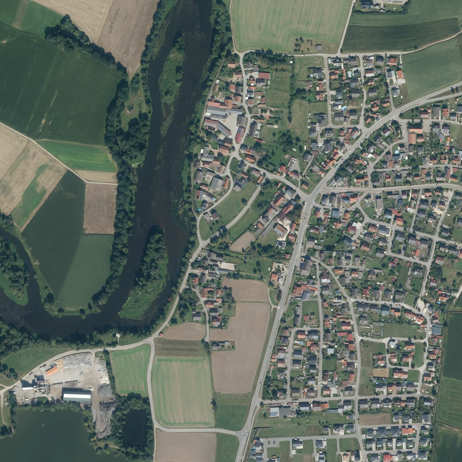
Die Wagnerstraße in Teublitz ist eine Wohnstraße (30 km/h). Die nächste Bushaltestelle in der Nähe ist Katzdorf, Loisnitzer Straße II (ca. 200 m entfernt).
- Straßentyp
- Wohnstraße
- Höchstgeschwindigkeit
- 30
Bild
Touristeninformationen
Parkplätze
Kunstzentren
Autohäuser
Bushaltestellen
Straßen in der Umgebung
Distelzell100 m
Boschstraße150 m
Liebigstraße250 m
Gutenbergstraße250 m
Brucknerstraße300 m
Schwandorfer StraßeKatzdorf, Raiffeisenbank, Friedhofparkplatz
300 m
Schmiedstraße300 m
Ohmstraße350 m
Ziehgasse350 m
Naabstraße350 m
Industriestraße350 m
Max-Planck-Straße350 m
Böttgerstraße400 m
Otto-Hahn-Straße400 m
Einsteinstraße400 m
Dieselstraße500 m
Lilienthalstraße500 m
NobelstraßeFroschlacke, Katzdorf
500 m
Peter-Henlein-Straße550 m
Behringstraße550 m
Keplerstraße550 m
Daimlerstraße600 m
Loisnitzer StraßeWeiherdorf, Ort, Katzdorf, Loisnitzer Straße, Katzdorf, Loisnitzer Straße II
600 m
Siemensstraße600 m
ZeppelinstraßeAutohaus Joh. Schmid
700 m
Spitzdorfweiher750 m
Hagenbuchäcker800 m
Bürgermeister-Lenk-Straße900 m
KremplschlagKremplschlag
1,1 km
WeiherdorfWeiherdorf
1,1 km
Schätzengraben1,2 km
Klardorf-KatzdorfBäckerei Scherl, Klardorf, Abzw. Bahnhof
1,5 km
Kranzlohäckerweg2,0 km
Bäche in der Umgebung
Kranzlohgraben2,0 km
Feuerwachen in der Umgebung
Feuerwehr Katzdorf350 m
Flüsse in der Umgebung
Naab2,1 km
Freizeitgelände in der Umgebung
SC Katzdorf600 m
Gebäude in der Umgebung
ehemalige Stallung250 m
Nebengebäude250 m
Fischerhütte500 m
Gewässer in der Umgebung
Neuweiher950 m
Kranzlohweiher1,2 km
Großpeterweiher1,4 km
Weiher1,5 km
Gotteshäuser in der Umgebung
St. Michael150 m
Tempel der Buddhistischen Gemeinde450 m
Kindergärten in der Umgebung
AWO Kinderhaus Katzdorf "Schatzkiste"900 m
Sportplätze in der Umgebung
B-Platz550 m
A-Platz550 m
 ÖPNV-Stadtplan Teublitz Legende
 | Bahn | |
| Bus | |
| Straßenbahn |
 Fahrradstadtplan Teublitz Legende
 | Radweg | |
| Fahrradspur auf der Fahrbahn | |
| Radfahren auf der Busspur | |
| Fahrradstraße | |
| Für Radfahrer frei | |
| Für Radfahrer frei, guter Weg | |
| Radfahren verboten | |
| Kopfsteinpflaster |
| Fernradweg | (je nach Maßstab) | |
| Fernradweg |
 Fußgängerstadtplan Teublitz Legende
 | Pfad |
| Fernwanderweg | (je nach Maßstab) | |
| Fernwanderweg | ||
| Fußgänger verboten |