
Schmiedstraße in Teublitz
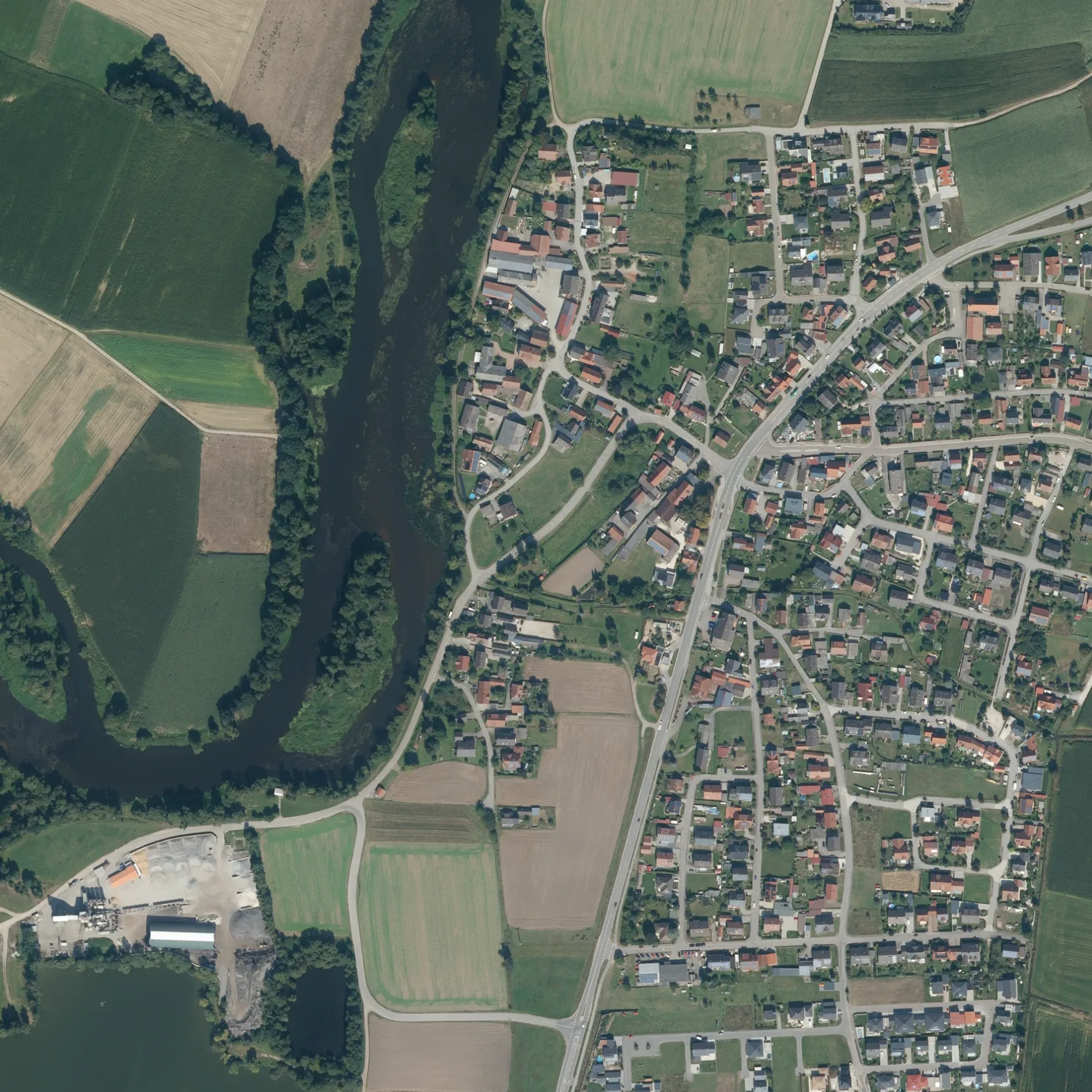
Die Schmiedstraße in Teublitz ist eine Wohnstraße (30 km/h). Die nächste Bushaltestelle in der Nähe ist Katzdorf, Raiffeisenbank (ca. 100 m entfernt). Eine Schmiedstraße gibt es auch in Landkreis Cham.
- Straßentyp
- Wohnstraße
- Höchstgeschwindigkeit
- 30
Bild
Parkplätze
Autohäuser
Kunstzentren
Gotteshäuser
Touristeninformationen
Sehenswürdigkeiten
Straßen in der Umgebung
Industriestraße100 m
Naabstraße100 m
Ziehgasse100 m
Schwandorfer StraßeKatzdorf, Raiffeisenbank, Friedhofparkplatz
100 m
Gutenbergstraße200 m
Wagnerstraße300 m
Boschstraße300 m
Distelzell350 m
Liebigstraße350 m
Keplerstraße350 m
Peter-Henlein-Straße350 m
NobelstraßeFroschlacke, Katzdorf
400 m
Ohmstraße400 m
Behringstraße450 m
Lilienthalstraße450 m
Siemensstraße500 m
Böttgerstraße500 m
ZeppelinstraßeAutohaus Joh. Schmid
500 m
Brucknerstraße550 m
Otto-Hahn-Straße550 m
Max-Planck-Straße550 m
Einsteinstraße600 m
Hagenbuchäcker600 m
Dieselstraße600 m
Spitzdorfweiher650 m
Daimlerstraße750 m
Loisnitzer StraßeWeiherdorf, Ort, Katzdorf, Loisnitzer Straße, Katzdorf, Loisnitzer Straße II
750 m
Bürgermeister-Lenk-Straße750 m
KremplschlagKremplschlag
950 m
WeiherdorfWeiherdorf
1,2 km
Schätzengraben1,3 km
UferstraßeMünchshofen, Abzw. Uferstraße, Münchshofen
1,4 km
Am WildparkMünchshofen, Brücke, Voliere mit Schauteich, Ziervögel, Rebhühner, Schautafel Rote Waldameise, Esel
1,5 km
BuchtalstraßeWeihersdorf, Buchtalstr.
1,6 km
Feuerwachen in der Umgebung
Feuerwehr Katzdorf550 m
Flüsse in der Umgebung
Naab1,5 km
Freizeitgelände in der Umgebung
SC Katzdorf850 m
Gebäude in der Umgebung
ehemalige Stallung500 m
Fischerhütte500 m
Nebengebäude500 m
Gewässer in der Umgebung
Neuweiher1,2 km
Kranzlohweiher1,5 km
Großer Strebelweiher1,5 km
Großpeterweiher1,7 km
Gotteshäuser in der Umgebung
St. Michael350 m
Tempel der Buddhistischen Gemeinde650 m
Kindergärten in der Umgebung
AWO Kinderhaus Katzdorf "Schatzkiste"750 m
Sportplätze in der Umgebung
B-Platz750 m
A-Platz800 m
 ÖPNV-Stadtplan Teublitz Legende
 | Bahn | |
| Bus | |
| Straßenbahn |
 Fahrradstadtplan Teublitz Legende
 | Radweg | |
| Fahrradspur auf der Fahrbahn | |
| Radfahren auf der Busspur | |
| Fahrradstraße | |
| Für Radfahrer frei | |
| Für Radfahrer frei, guter Weg | |
| Radfahren verboten | |
| Kopfsteinpflaster |
| Fernradweg | (je nach Maßstab) | |
| Fernradweg |
 Fußgängerstadtplan Teublitz Legende
 | Pfad |
| Fernwanderweg | (je nach Maßstab) | |
| Fernwanderweg | ||
| Fußgänger verboten |