
Kremplschlag in Teublitz
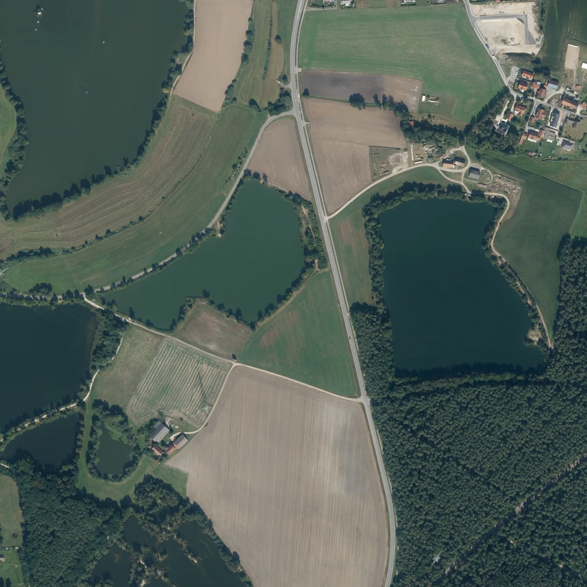
Kremplschlag in Teublitz ist ein Feldweg (Schotterweg). Die nächste Bushaltestelle in der Nähe ist Katzdorf, Raiffeisenbank (ca. 750 m entfernt).
- Straßentyp
- Feldweg
Bild
Touristeninformationen
Parkplätze
Schnellrestaurants
Sehenswürdigkeiten
Straßen in der Umgebung
Bürgermeister-Lenk-Straße300 m
Hagenbuchäcker400 m
Spitzdorfweiher400 m
ZeppelinstraßeAutohaus Joh. Schmid
450 m
Siemensstraße550 m
Behringstraße600 m
Peter-Henlein-Straße600 m
Keplerstraße600 m
NobelstraßeFroschlacke, Katzdorf
600 m
Lilienthalstraße650 m
Ziehgasse850 m
Ohmstraße850 m
Gutenbergstraße850 m
Schwandorfer StraßeKatzdorf, Raiffeisenbank, Friedhofparkplatz
900 m
Industriestraße900 m
Dieselstraße900 m
Liebigstraße900 m
Böttgerstraße950 m
Schmiedstraße950 m
Naabstraße950 m
Otto-Hahn-Straße1000 m
Daimlerstraße1000 m
Loisnitzer StraßeWeiherdorf, Ort, Katzdorf, Loisnitzer Straße, Katzdorf, Loisnitzer Straße II
1000 m
WeiherdorfWeiherdorf
1,0 km
Einsteinstraße1,0 km
Max-Planck-Straße1,1 km
Wagnerstraße1,1 km
Pfad der PoesieFeuchtbiotop
1,1 km
Distelzell1,1 km
Am Naturpark1,1 km
Am WildparkMünchshofen, Brücke, Voliere mit Schauteich, Ziervögel, Rebhühner, Schautafel Rote Waldameise, Esel
1,1 km
Boschstraße1,2 km
Brucknerstraße1,2 km
HauptstraßeSaltendorf, Hauptstr., Saltendorf, Hauptstraße, Teublitz, Schule, Backstube Wünsche
1,5 km
Cafés in der Umgebung
Kiosk1,3 km
Feuerwachen in der Umgebung
Feuerwehr Katzdorf1,1 km
Gebäude in der Umgebung
Aufseherhaus1,2 km
Wasserwacht Teublitz1,3 km
Gewässer in der Umgebung
Großer Strebelweiher750 m
Naturbad Kleiner Strebelweiher1,3 km
Gotteshäuser in der Umgebung
St. Michael1,0 km
Tempel der Buddhistischen Gemeinde1,1 km
Kindergärten in der Umgebung
AWO Kinderhaus Katzdorf "Schatzkiste"250 m
Sportplätze in der Umgebung
Eisstockbahn1,1 km
B-Platz1,2 km
Bocciabahn1,3 km
Wiesen in der Umgebung
Ortsgruppe Teublitz e.V. im Verein für Deutsche Schäferhunde (SV) e.V.950 m
Zoos in der Umgebung
Wild- und Freizeitpark Höllohe1,0 km
Überdachte Bereiche in der Umgebung
Vogelvoliere1,2 km
 ÖPNV-Stadtplan Teublitz Legende
 | Bahn | |
| Bus | |
| Straßenbahn |
 Fahrradstadtplan Teublitz Legende
 | Radweg | |
| Fahrradspur auf der Fahrbahn | |
| Radfahren auf der Busspur | |
| Fahrradstraße | |
| Für Radfahrer frei | |
| Für Radfahrer frei, guter Weg | |
| Radfahren verboten | |
| Kopfsteinpflaster |
| Fernradweg | (je nach Maßstab) | |
| Fernradweg |
 Fußgängerstadtplan Teublitz Legende
 | Pfad |
| Fernwanderweg | (je nach Maßstab) | |
| Fernwanderweg | ||
| Fußgänger verboten |