
Porschestraße in Riesbürg Pflaumloch
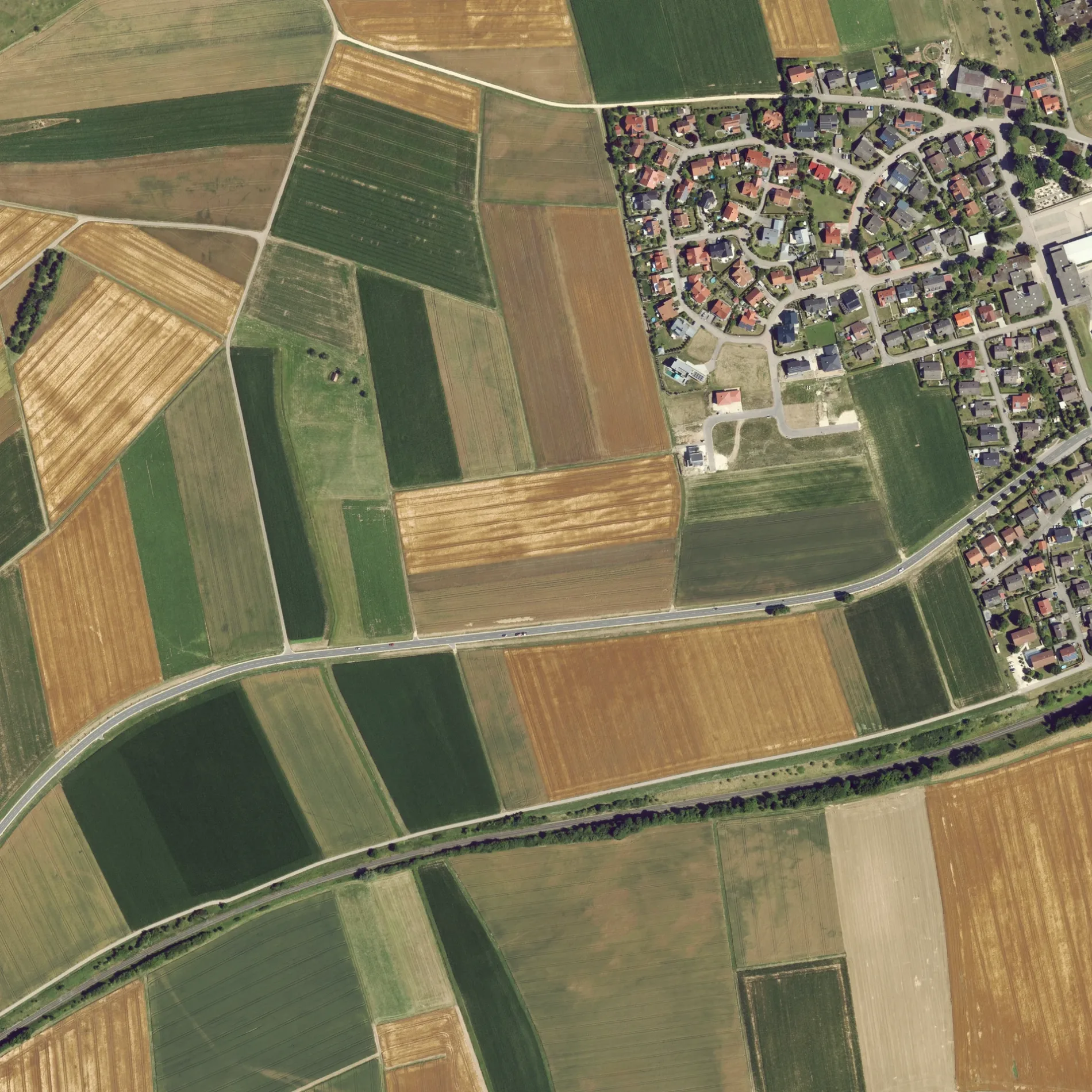
Die Porschestraße in Riesbürg ist eine asphaltierte Wohnstraße und sie verläuft in Südost-Nordwest-Richtung.
- Straßentyp
- Wohnstraße
- Verlauf
- Südost-Nordwest
Bild
Bäckereien
Restaurants
Feuerwachen
Bushaltestellen
Museen
Stationen
Straßen in der Umgebung
Gutenbergstraße100 m
Dieselstraße200 m
Zeppelinstraße200 m
Robert-Bosch-Straße200 m
Maybachstraße250 m
Kommerzienrat-Pflaum-Straße250 m
Benzstraße250 m
Kernerstraße250 m
Daimlerstraße300 m
Hauffstraße350 m
Hölderlinweg350 m
Heerstraße350 m
Friedhofstraße400 m
Industriestraße400 m
Stiegeläcker400 m
Schillerstraße450 m
Heinestraße500 m
Beim Friedhof500 m
Schäferäcker550 m
Molkereiweg550 m
Bahnhofstraße600 m
Goldburghauser Straße600 m
Obere Gasse650 m
Im Wert750 m
Schulstraße750 m
Kirchstraße850 m
Pflaumlocher Straße900 m
Hauptstraße1000 m
Lachwiesen1,0 km
Pfaffenbeund1,3 km
Utzmemminger Weg1,3 km
Goldberg-Rundwanderweg1,3 km
Kleines unteres Feld1,4 km
Walkbühlweg1,7 km
Walkmühlweg1,7 km
Bäche in der Umgebung
Goldbach1,1 km
Eisenbahnstrecken in der Umgebung
Riesbahn1,3 km
Flüsse in der Umgebung
Eger1,3 km
Gebäude in der Umgebung
Pfarrei Pflaumloch, St.Leonhard Riesbürg800 m
Gewächshäuser in der Umgebung
Gärtnerei Feldmeyer Karl1,0 km
Gotteshäuser in der Umgebung
Evangelische Kirche550 m
Sankt Leonhard800 m
Gräben in der Umgebung
Arlachgraben1,6 km
Häuser in der Umgebung
Datscha1,6 km
Kindergärten in der Umgebung
Gemeindekindergarten Pflaumloch750 m
Naturschutzgebiete in der Umgebung
Goldberg1,2 km
Rathäuser in der Umgebung
Gemeindeverwaltung Riesbürg650 m
Wohngebiete in der Umgebung
Walkmühle1,6 km
Öffentliche Gebäude in der Umgebung
Gemeindehalle850 m
ÖPNV-Stadtplan Pflaumloch Legende
| Bahn | |
| Bus | |
| Straßenbahn |
Fahrradstadtplan Pflaumloch Legende
| Radweg | |
| Fahrradspur auf der Fahrbahn | |
| Radfahren auf der Busspur | |
| Fahrradstraße | |
| Für Radfahrer frei | |
| Für Radfahrer frei, guter Weg | |
| Radfahren verboten | |
| Kopfsteinpflaster |
| Fernradweg | (je nach Maßstab) | |
| Fernradweg |
Fußgängerstadtplan Pflaumloch Legende
| Pfad |
| Fernwanderweg | (je nach Maßstab) | |
| Fernwanderweg | ||
| Fußgänger verboten |