
Walkbühlweg in Nördlingen
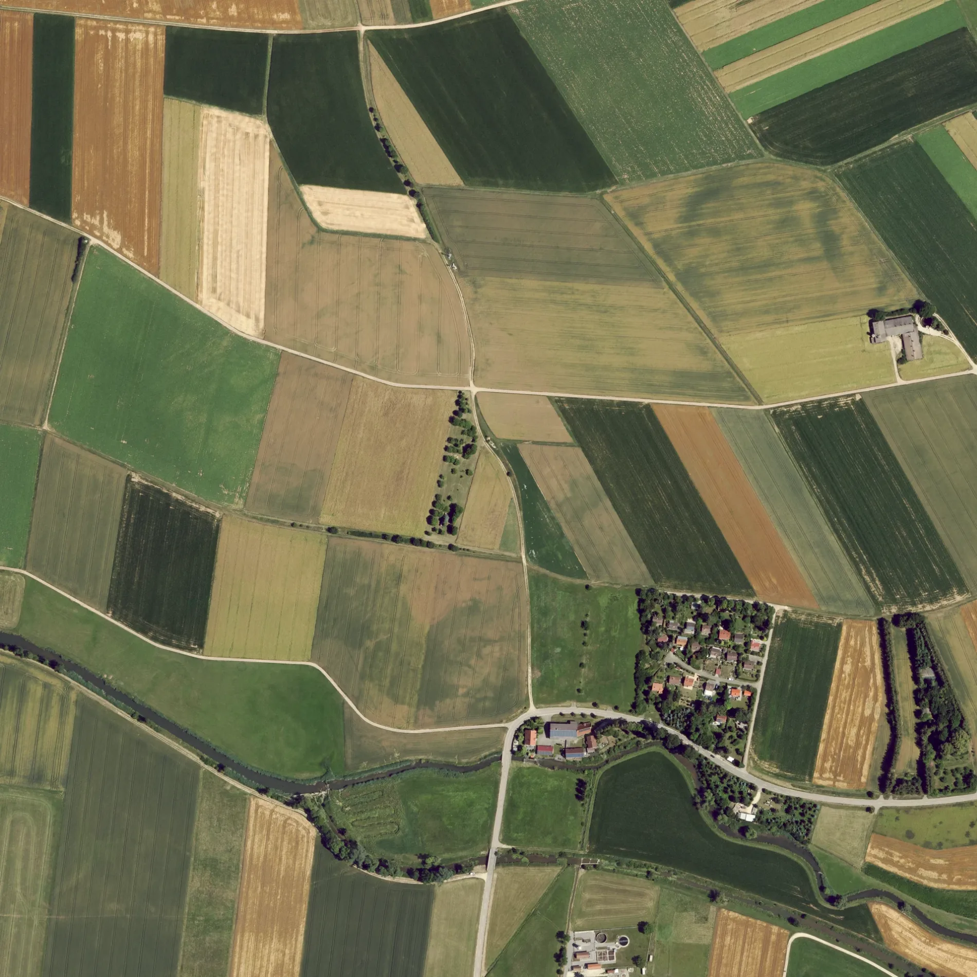
Der Walkbühlweg in Nördlingen ist eine Wohnstraße. Die nächste Bushaltestelle in der Nähe ist Bruckmühlweg (ca. 600 m entfernt).
- Straßentyp
- Wohnstraße
Bild
Sehenswürdigkeiten
Fleischereien
Gotteshäuser
Aussichtspunkte
Touristeninformationen
Bushaltestellen
Hofläden
Recyclingstationen
Straßen in der Umgebung
WalkmühlwegWalkmühle
200 m
Waldweg250 m
Utzmemminger Weg400 m
Reisbergweg400 m
Hochrankenweg550 m
An der Eger550 m
Hohlweg600 m
BruckmühlwegBruckmühlweg
600 m
Siemensstraße600 m
Pflaumlocher Straße750 m
RiesstraßeNähermemmingen, römischer Meilenstein, Riesstraße
800 m
Nördlinger StraßeRiesblick
800 m
Walkstraße800 m
EgergasseKnoll
850 m
Kapellenweg850 m
In den Barten950 m
Bei den Seewiesen1000 m
Breitengwand1000 m
Kirchenweg1000 m
Näherm.-Baldingen1000 m
Pfarrstraße1,0 km
Lange StraßeUtzmemmingen
1,1 km
Ährenweg1,1 km
Platz von EsvresHirsch, Gasthaus Ochsen
1,1 km
Lindenstraße1,1 km
Finkenweg1,2 km
Rosenstraße1,2 km
Weilerstraße1,2 km
BrunnenstraßeAdler
1,2 km
HeinestraßePflaumloch Bahnhof
1,3 km
BahnhofstraßeSpörl, Pflaumloch Bahnhof, Pflaumloch
1,3 km
Röhrbachpark1,3 km
Hölderlinweg1,3 km
Kernerstraße1,4 km
Bäche in der Umgebung
Maienbach1,0 km
Röhrbach1,2 km
Eisenbahnstrecken in der Umgebung
Riesbahn1,3 km
Flüsse in der Umgebung
Eger900 m
Gebäude in der Umgebung
Gasthof Riesblick950 m
Gotteshäuser in der Umgebung
Marienkirche500 m
St. Martin900 m
Gräben in der Umgebung
Arlachgraben550 m
Häuser in der Umgebung
Datscha150 m
Industriegebiete in der Umgebung
Wasserschutzgebiet-Fassung900 m
Naturschutzgebiete in der Umgebung
Riegelberg1,0 km
Spielplätze in der Umgebung
Spielplatz Ährenweg Nähermemmingen1,0 km
Sportplätze in der Umgebung
Fußballplatz1,3 km
Wohngebiete in der Umgebung
Walkbühl200 m
Walkmühle300 m
 ÖPNV-Stadtplan Nördlingen Legende
 | Bahn | |
| Bus | |
| Straßenbahn |
 Fahrradstadtplan Nördlingen Legende
 | Radweg | |
| Fahrradspur auf der Fahrbahn | |
| Radfahren auf der Busspur | |
| Fahrradstraße | |
| Für Radfahrer frei | |
| Für Radfahrer frei, guter Weg | |
| Radfahren verboten | |
| Kopfsteinpflaster |
| Fernradweg | (je nach Maßstab) | |
| Fernradweg |
 Fußgängerstadtplan Nördlingen Legende
 | Pfad |
| Fernwanderweg | (je nach Maßstab) | |
| Fernwanderweg | ||
| Fußgänger verboten |