
Kernerstraße in Riesbürg Pflaumloch
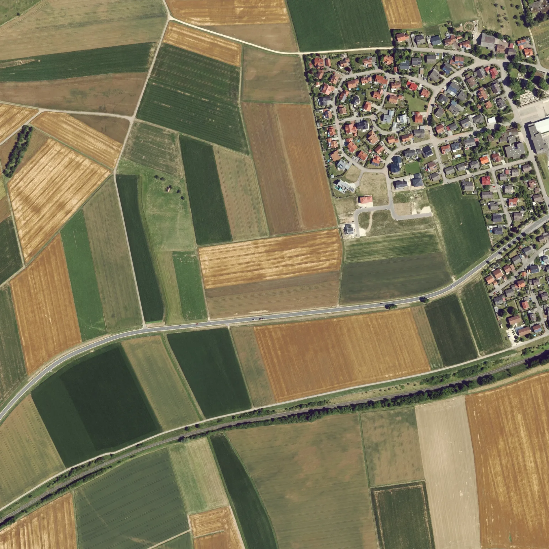
Die Kernerstraße in Riesbürg ist eine beleuchtete Wohnstraße und verläuft in Nordost-Südwest-Richtung.
- Straßentyp
- Wohnstraße
- Verlauf
- Nordost-Südwest
Bild
Bäckereien
Bahnsteige
Feuerwachen
Bushaltestellen
Hofläden
Stationen
Straßen in der Umgebung
Hölderlinweg100 m
Hauffstraße150 m
Zeppelinstraße200 m
Robert-Bosch-Straße200 m
Heinestraße250 m
Schillerstraße250 m
Porschestraße250 m
Industriestraße300 m
Maybachstraße300 m
Daimlerstraße300 m
Gutenbergstraße350 m
Friedhofstraße350 m
Molkereiweg400 m
Benzstraße400 m
Dieselstraße400 m
Heerstraße400 m
Stiegeläcker450 m
Beim Friedhof450 m
Bahnhofstraße450 m
Kommerzienrat-Pflaum-Straße450 m
Obere Gasse550 m
Goldburghauser Straße600 m
Pflaumlocher Straße650 m
Schulstraße650 m
Im Wert750 m
Kirchstraße750 m
Schäferäcker750 m
Hauptstraße850 m
Lachwiesen900 m
Utzmemminger Weg1,1 km
Kleines unteres Feld1,2 km
Walkbühlweg1,5 km
Goldberg-Rundwanderweg1,5 km
Walkmühlweg1,5 km
Pfaffenbeund1,5 km
Bäche in der Umgebung
Goldbach1,1 km
Eisenbahnstrecken in der Umgebung
Riesbahn1,1 km
Flüsse in der Umgebung
Eger1,1 km
Gebäude in der Umgebung
Pfarrei Pflaumloch, St.Leonhard Riesbürg650 m
Gewächshäuser in der Umgebung
Gärtnerei Feldmeyer Karl900 m
Gotteshäuser in der Umgebung
Evangelische Kirche450 m
Sankt Leonhard700 m
Gräben in der Umgebung
Arlachgraben1,5 km
Häuser in der Umgebung
Datscha1,4 km
Kindergärten in der Umgebung
Gemeindekindergarten Pflaumloch700 m
Naturschutzgebiete in der Umgebung
Goldberg1,4 km
Rathäuser in der Umgebung
Gemeindeverwaltung Riesbürg550 m
Wohngebiete in der Umgebung
Walkmühle1,4 km
Öffentliche Gebäude in der Umgebung
Gemeindehalle800 m
ÖPNV-Stadtplan Pflaumloch Legende
| Bahn | |
| Bus | |
| Straßenbahn |
Fahrradstadtplan Pflaumloch Legende
| Radweg | |
| Fahrradspur auf der Fahrbahn | |
| Radfahren auf der Busspur | |
| Fahrradstraße | |
| Für Radfahrer frei | |
| Für Radfahrer frei, guter Weg | |
| Radfahren verboten | |
| Kopfsteinpflaster |
| Fernradweg | (je nach Maßstab) | |
| Fernradweg |
Fußgängerstadtplan Pflaumloch Legende
| Pfad |
| Fernwanderweg | (je nach Maßstab) | |
| Fernwanderweg | ||
| Fußgänger verboten |