
St. Otmarstrasse in Andwil (SG)
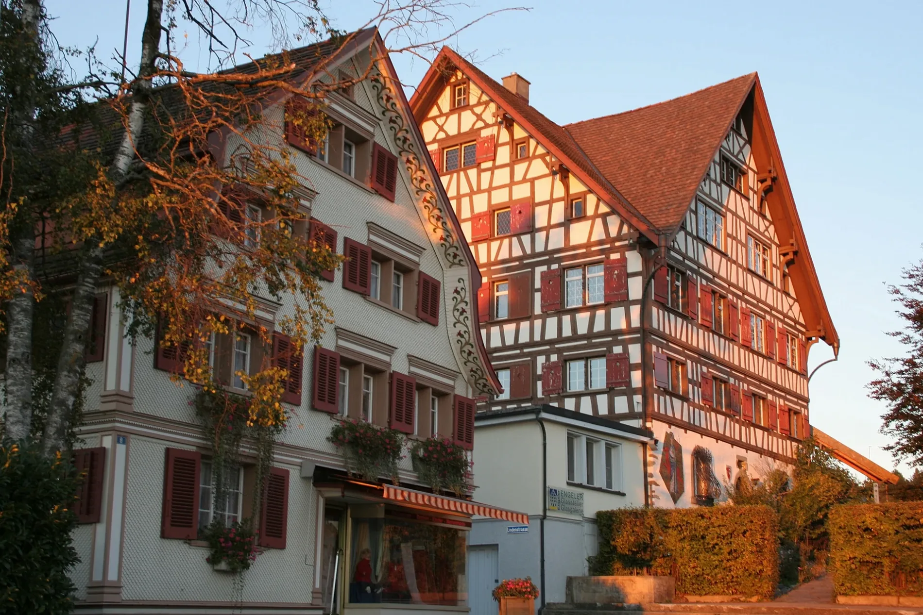
St. Otmarstrasse in Andwil (SG) ist eine Wohnstraße. St. Otmarstrasse verläuft in Nordost-Südwest-Richtung von Dunggstrasse kommend und kreuzt Büelstrasse, Winkelstrasse und Gallusstrasse und endet an Augartenstrasse. Die nächste Haltestelle in der Nähe ist Otmarsegg (ca. 150 m entfernt).
- Straßentyp
- Wohnstraße
- Verlauf
- Nordost-Südwest
Bild
Kneipen
Restaurants
Aussichtspunkte
Touristeninformationen
Straßen in der Umgebung
Gallusstrasse100 m
Schäfliweg100 m
Bachweg100 m
OtmarseggstrasseOthmarsegg
100 m
Gallustsrasse100 m
Winkelstrasse150 m
ChirchbüelwegAndwil SG
200 m
Büelstrasse200 m
DorfstrasseLinden
200 m
AugartenstrasseOtmarsegg
200 m
Wilenstrasse200 m
Sonnenrain200 m
Gartenstrasse250 m
Chirchbüel250 m
Dunggstrasse300 m
Egg-Dunggstrasse300 m
Kirchbüelstrasse300 m
Schwarzerdweg300 m
ParadiesstrasseParadies
300 m
Dorfbrunnenstrasse300 m
Augartenweg300 m
PostplatzAndwil Post
350 m
Birkenweg350 m
Bachstrasse350 m
Ahornweg350 m
Alpsteinstrasse400 m
ArneggerstrasseGrünau, Sonne
400 m
Fürstenlandstrasse400 m
Birkenstrasse400 m
Sonnenbüelstrasse400 m
Käsereiweg450 m
Ahornstrasse450 m
Büügenstrasse450 m
Wiesentalstrasse500 m
MüliweierstrasseOrtsmuseum, Müliweiher, Säge
500 m
St. Margrethenstrasse550 m
Mattenwisstrasse600 m
Mattenstrasse650 m
AndwilerstrasseUlmenstrasse, Rosenegg, St. Margreten
750 m
Autowerkstätten in der Umgebung
Dorfgarage250 m
Bäche in der Umgebung
Dorfbach200 m
Andwilerbach500 m
Gebäude in der Umgebung
Werkhof200 m
Haus zum Hirschen350 m
Glas Engeler350 m
Otmarzentrum350 m
Gotteshäuser in der Umgebung
Katholische Kirche St. Otmar350 m
Museen in der Umgebung
Ortsmuseum550 m
Parks in der Umgebung
Dorfbrunnen200 m
 ÖPNV-Stadtplan Andwil (SG) Legende
| Bahn | |
| Bus | |
| Straßenbahn |
 Fahrradstadtplan Andwil (SG) Legende
| Radweg | |
| Fahrradspur auf der Fahrbahn | |
| Radfahren auf der Busspur | |
| Fahrradstraße | |
| Für Radfahrer frei | |
| Für Radfahrer frei, guter Weg | |
| Radfahren verboten | |
| Kopfsteinpflaster |
| Fernradweg | (je nach Maßstab) | |
| Fernradweg |
 Fußgängerstadtplan Andwil (SG) Legende
| Pfad |
| Fernwanderweg | (je nach Maßstab) | |
| Fernwanderweg | ||
| Fußgänger verboten |