
Niederhüll in Drochtersen
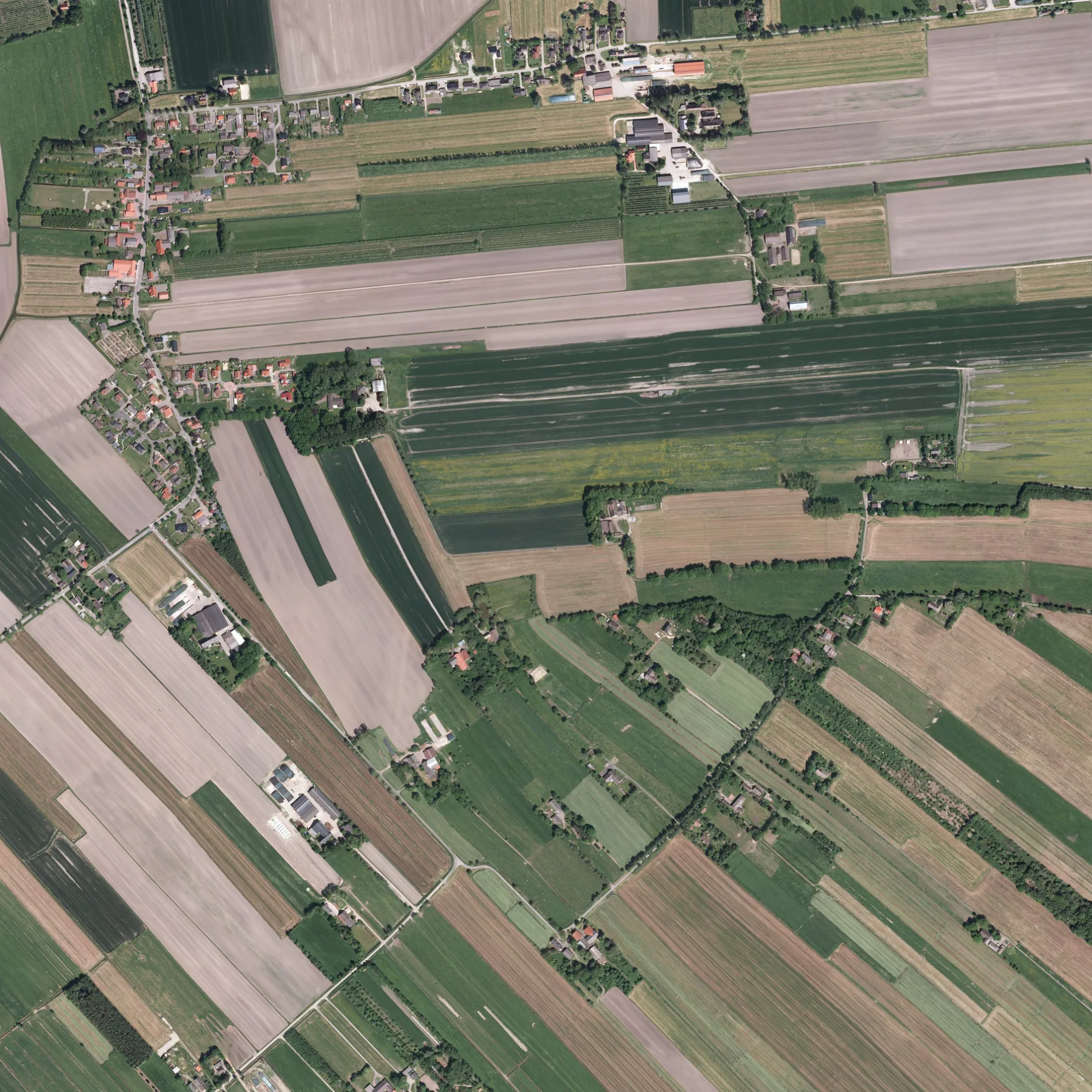
Niederhüll in Drochtersen ist eine nicht klassifizierte Straße. Diese Straße liegt an den Fahrradrouten Niedersächsiche Milchstraße Rundtour 2 🔗, Moorroute 🔗 und Vom Teufelsmoor zum Wattenmeer 🔗. In der Umgebung befindet sich unter anderem ein Kunstzentrum. Die nächsten Haltestellen sind Hüll, Kreuzung Oberhüll, Hüll, Niederhüll 15, Hüll, Glindweg und Hüll, Niederhüll 1.
- Straßentyp
- nicht klassifizierte Straße
Bild
Kunstzentren
Straßen in der Umgebung
Hörne650 m
Im Rönnefeld750 m
Kleine Rönne800 m
BirkenwegHüll, Abzweig Draakenstieg
1,1 km
Alte Sägerei1,2 km
Bauernreihe1,3 km
GehrdenHüll, Gehrden 18, Freiwillige Feuerwehr Hüll, Hüll, Wendeplatz, Hüll, Abzweig Draakenstieg
1,3 km
Altendorfer Grenzweg1,5 km
OberhüllHüll, Kreuzung Oberhüll, Oberhüll
1,6 km
Scheidung1,6 km
Großenwördener Straße1,7 km
Glindweg1,8 km
Draakenstieg1,8 km
Grüne StraßeHüll, Grüne Straße 9, Hüller Sietwende
1,8 km
SeestraßeGroßenwörden, Seestraße 15, Großenwörden, Seestraße 10, Großenwörden, Seestraße (Wendeplatz), Großenwörden, Seestraße 19
1,9 km
AltendorfOsten, Altendorfer Grenzweg, Osten, Altendorf 7, Osten, Altendorf 2, Osten, Altendorf 12
2,2 km
Op De Leiden2,5 km
Neustadt2,6 km
Im Moor2,7 km
Obenaltendorf2,7 km
Hüller Sietwende2,7 km
Zum SeeGroßenwörden, Seestraße 3
2,8 km
An der Pferdekoppel3,0 km
Am Moor3,0 km
RönndeichHofmosterei Rönndeich, Rönndeich-Krimiland Kehding-Oste, Rönndeich, Abzweigung Hüll
3,0 km
An der alten Post3,0 km
In der HelleGroßenwörden, Am Dubben, Helle, Großenwörden, In der Helle
3,0 km
Am Sportplatz3,0 km
Am Dubben3,1 km
Am Glind3,1 km
DorfstraßeGroßenwörden, Großenwörden, Am Dubben, Großenwördener Hof, Großenwörden, Am Glind
3,1 km
Abläufe in der Umgebung
Druckgraben Polder Hörne400 m
Druckgraben Polder Wischhusen600 m
Polderauslauf Bohn650 m
Polderauslauf Drakenstieg1,1 km
Polderauslauf Marx1,1 km
Polderauslauf Hagenah1,8 km
Altendorfer Leidenwettern2,8 km
Zufluß Polder Altendorf-Ost2,9 km
Polderauslauf 63,0 km
Niederwettern3,1 km
Bäche in der Umgebung
Seelauf1,5 km
Feuerwachen in der Umgebung
Freiwillige Feuerwehr Großenwörden2,7 km
Flüsse in der Umgebung
Große Rönne1,2 km
Großenwördener Seekanal2,8 km
Gräben in der Umgebung
Hüller Kleine Fleth1,8 km
Altendorfer Straßenwettern2,2 km
Moor-Rönne2,4 km
Obenaltendorfer Moorkanal2,5 km
 ÖPNV-Stadtplan Drochtersen Legende
 | Bahn | |
| Bus | |
| Straßenbahn |
 Fahrradstadtplan Drochtersen Legende
 | Radweg | |
| Fahrradspur auf der Fahrbahn | |
| Radfahren auf der Busspur | |
| Fahrradstraße | |
| Für Radfahrer frei | |
| Für Radfahrer frei, guter Weg | |
| Radfahren verboten | |
| Kopfsteinpflaster |
| Fernradweg | (je nach Maßstab) | |
| Fernradweg |
 Fußgängerstadtplan Drochtersen Legende
 | Pfad |
| Fernwanderweg | (je nach Maßstab) | |
| Fernwanderweg | ||
| Fußgänger verboten |