
Altendorfer Grenzweg in Drochtersen
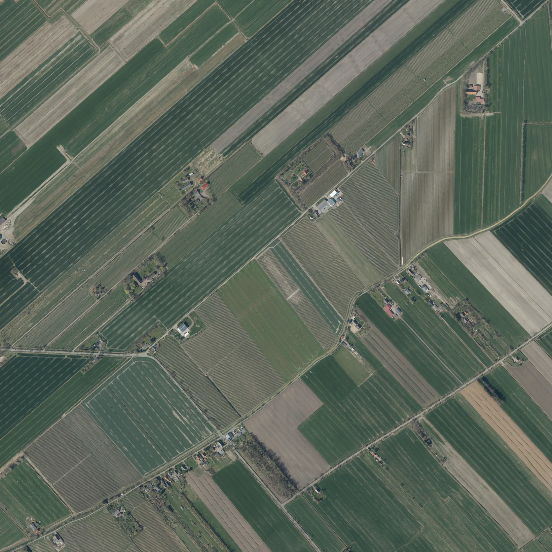
Der Altendorfer Grenzweg in Drochtersen ist eine asphaltierte nicht klassifizierte Straße. Diese Straße liegt an der Fahrradroute „Mönchsweg 🔗". Die nächste Bushaltestelle in der Nähe ist Rönndeich, Abzweigung Hüll (ca. 450 m entfernt).
- Straßentyp
- nicht klassifizierte Straße
Bild
Feuerwachen
Bushaltestellen
Straßen in der Umgebung
Großenwördener Straße1,0 km
RönndeichHofmosterei Rönndeich, Rönndeich-Krimiland Kehding-Oste, Rönndeich, Abzweigung Hüll
1,1 km
Op De Leiden1,2 km
Glindweg1,7 km
Im Rönnefeld1,8 km
Kleine Rönne1,9 km
Obenaltendorf2,0 km
GehrdenHüll, Gehrden 18, Freiwillige Feuerwehr Hüll, Hüll, Wendeplatz, Hüll, Abzweig Draakenstieg
2,0 km
Hörne2,1 km
BirkenwegHüll, Abzweig Draakenstieg
2,1 km
NiederhüllHüll, Kreuzung Oberhüll, Heimathof Niederhüll, Hüll, Niederhüll 15, Hüll, Glindweg, Hüll, Niederhüll 1
2,2 km
Am Rönndeich2,2 km
Alte Sägerei2,2 km
Draakenstieg2,3 km
SchüttdammOberaltendorf, Schüttdamm, Alte Bundesstraße, Schüttdamm, Abzweig B495, Schüttdamm, Haus Nr.44, Schüttdamm, Sieb
2,4 km
Im StrichGroßenwörden, Im Strich 29, Großenwörden, Im Strich 26, Großenwörden, Im Strich 19, Großenwörden, Im Strich 11, Großenwörden, Im Strich 2
2,5 km
SeestraßeGroßenwörden, Seestraße 15, Großenwörden, Seestraße 10, Großenwörden, Seestraße (Wendeplatz), Großenwörden, Seestraße 19
2,8 km
Am Glind2,8 km
Am Sportplatz2,8 km
An der alten Post2,9 km
DorfstraßeGroßenwörden, Großenwörden, Am Dubben, Großenwördener Hof, Großenwörden, Am Glind
2,9 km
Abläufe in der Umgebung
Zufluß Polder Altendorf-Ost800 m
Polderauslauf Marx1,1 km
Polderauslauf Hagenah1,2 km
Altendorfer Leidenwettern1,3 km
Altendorfer Wettern1,5 km
Polderauslauf Drakenstieg1,8 km
Verbindungsgraben Hüll1,9 km
Kranenweider Leidenwettern2,0 km
Polderauslauf Bohn2,0 km
Druckgraben Polder Hörne2,1 km
Polderauslauf 12,3 km
Polderauslauf 22,4 km
Druckgraben Polder Wischhusen2,5 km
Polderauslauf 32,6 km
Polderauslauf 42,7 km
Polderdruckgraben Braak2,7 km
Großenwördener Kirchenschleusenfleth2,9 km
Feuerwachen in der Umgebung
Freiwillige Feuerwehr Großenwörden3,0 km
Flüsse in der Umgebung
Große Rönne2,3 km
Großenwördener Seekanal2,9 km
Gemeinschaftszentren in der Umgebung
Dorfgemeinschaftshaus2,8 km
Gotteshäuser in der Umgebung
St. Marien2,9 km
Kapelle2,9 km
Gräben in der Umgebung
Altendorfer Straßenwettern100 m
Hüller Kleine Fleth1,7 km
Obenaltendorfer Moorkanal2,0 km
Niederwettern2,4 km
Kanäle in der Umgebung
Altendorfer Dorffleth1,8 km
 ÖPNV-Stadtplan Drochtersen Legende
 | Bahn | |
| Bus | |
| Straßenbahn |
 Fahrradstadtplan Drochtersen Legende
 | Radweg | |
| Fahrradspur auf der Fahrbahn | |
| Radfahren auf der Busspur | |
| Fahrradstraße | |
| Für Radfahrer frei | |
| Für Radfahrer frei, guter Weg | |
| Radfahren verboten | |
| Kopfsteinpflaster |
| Fernradweg | (je nach Maßstab) | |
| Fernradweg |
 Fußgängerstadtplan Drochtersen Legende
 | Pfad |
| Fernwanderweg | (je nach Maßstab) | |
| Fernwanderweg | ||
| Fußgänger verboten |