
Wiesenweg in Schwanewede
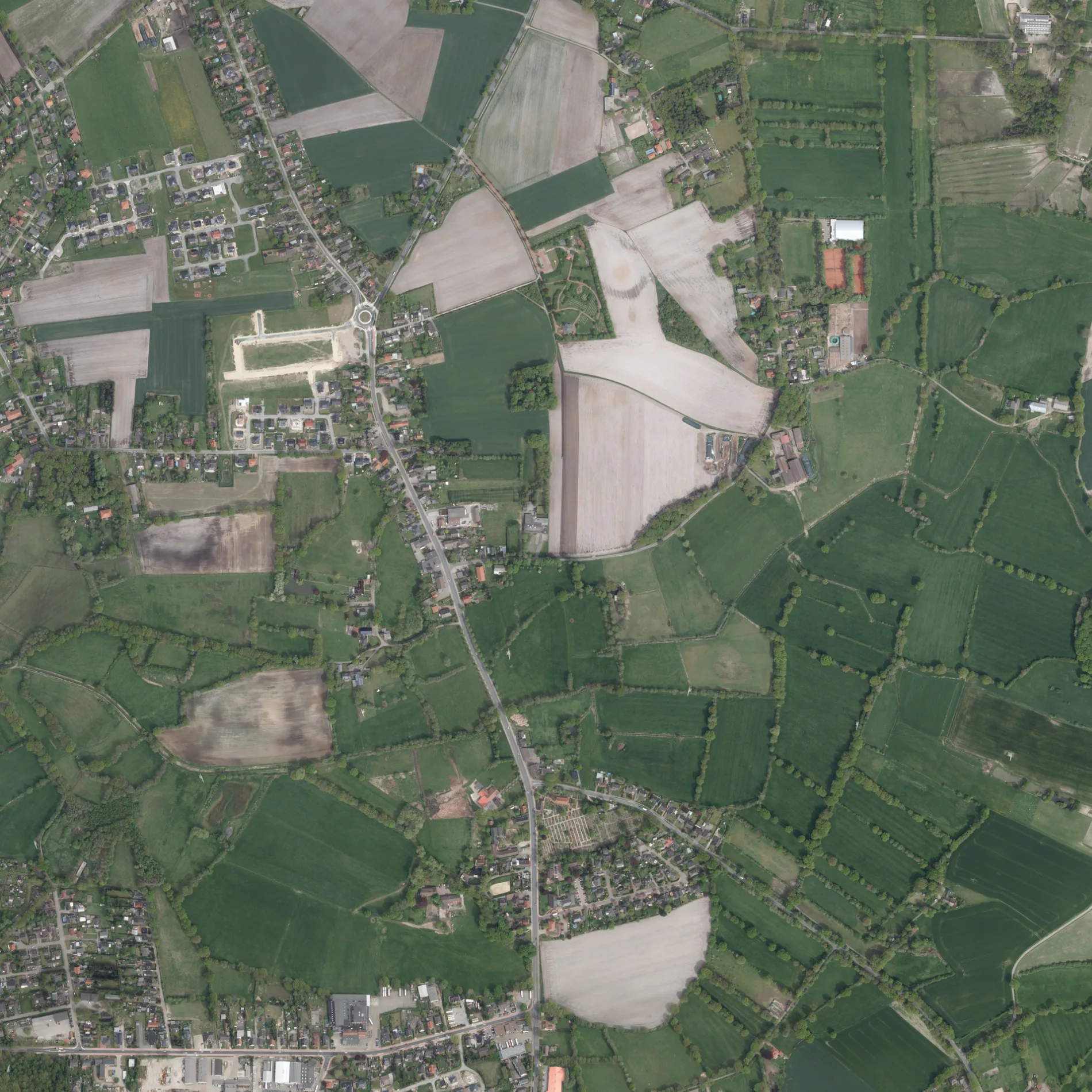
Der Wiesenweg in Schwanewede ist ein Bahnsteig (rollstuhlgerecht, kein Unterstand, keine Sitzgelegenheit, Blindenleitsystem, keine Fahrgastanzeige). Wiesenweg liegt in der Nähe von Molkereiweg. Die nächste Bushaltestelle in der Nähe ist Wiesenweg (ca. 0 m entfernt). Einen Wiesenweg gibt es auch in Lilienthal.
- Straßentyp
- Bahnsteig
- Rollstuhlzugang
- ja
Bild
Straßen in der Umgebung
MolkereiwegJehovas Zeugen, Wiesenweg, Molkereiweg
50 m
Industrieweg150 m
Königsberger Straße200 m
OstlandstraßeFilou, Pizza Jambo, Fuß- und Nagelpflege „Body Style“, Hundefriseur „Ihr Hundestudio“, Ostlandstraße/Heideschule, Gemeindebücherei, Die Tafel
250 m
Görlitzer Straße250 m
Küstriner Straße300 m
Pillauer Weg300 m
Breslauer Straße350 m
Friesenweg400 m
Bremer Weg400 m
Sachsenweg450 m
Schillerstraße450 m
Alma-Rogge-Weg450 m
Heideweg450 m
Anne-Frank-Weg500 m
Lycker Weg500 m
Lessingstraße550 m
Kösliner WegWundertruhe Schwanewede
550 m
Berliner Weg550 m
Allensteiner Weg550 m
Gundlachweg600 m
HerderstraßeMr. Happy Döner
600 m
Stillhorn600 m
DammRathaus, Koppelsberg, Schwaneweder Landhaus, Landhaus Schwanewede, Am Spreeken
650 m
Posener Straße700 m
Goethestraße700 m
Danziger StraßeSchwanenberg
700 m
Rathaus750 m
Hildesheimer Weg750 m
Pastor-Heddenhausen-WegDr. Ahlers
750 m
Logener WegLoge
750 m
HeidkampSchützenweg, Volksbank, Deutsche Post, Ladestation Type 2 22 kW, Penny, Hol'ab, Änderungsschneiderei, Herderstraße, Friseur, Die Tänzerei - ADTV Tanzschule
750 m
Lüneburger Weg800 m
Graudenzer Weg800 m
Stettiner Straße800 m
Schützenweg800 m
HospitalstraßeShell, Zahnärzte Kohnke & Tschakert, Juwelier Steinborn, Hospitalstraße, Pflegedienst Irene Wall, Salon Nauditt, Arztpraxis Schumacher
850 m
Bäche in der Umgebung
Schwaneweder Beeke550 m
Feuerwachen in der Umgebung
Ortsfeuerwehr Schwanewede250 m
Gebäude in der Umgebung
Bauhof Schwanewede300 m
Hannoversche Straße550 m
Reisedienst Von Rahden600 m
Gemeinschaftszentren in der Umgebung
St. Christophorus Gemeindehaus500 m
Begegnungsstätte Schwanewede500 m
Gotteshäuser in der Umgebung
St.-Ansgar700 m
Restaurants in der Umgebung
LeoNardo750 m
Sportzentren in der Umgebung
Sporthalle Heideschule350 m
Sportplatz Heideschule500 m
Sonstiges in der Umgebung
Schwanewede200 m
 ÖPNV-Stadtplan Schwanewede Legende
 | Bahn | |
| Bus | |
| Straßenbahn |
 Fahrradstadtplan Schwanewede Legende
 | Radweg | |
| Fahrradspur auf der Fahrbahn | |
| Radfahren auf der Busspur | |
| Fahrradstraße | |
| Für Radfahrer frei | |
| Für Radfahrer frei, guter Weg | |
| Radfahren verboten | |
| Kopfsteinpflaster |
| Fernradweg | (je nach Maßstab) | |
| Fernradweg |
 Fußgängerstadtplan Schwanewede Legende
 | Pfad |
| Fernwanderweg | (je nach Maßstab) | |
| Fernwanderweg | ||
| Fußgänger verboten |