
Stillhorn in Schwanewede
Stillhorn in Schwanewede ist eine unbefestigte Nebenstraße. Die nächste Bushaltestelle in der Nähe ist Rathaus (ca. 100 m entfernt).
- Straßentyp
- Nebenstraße
Bild
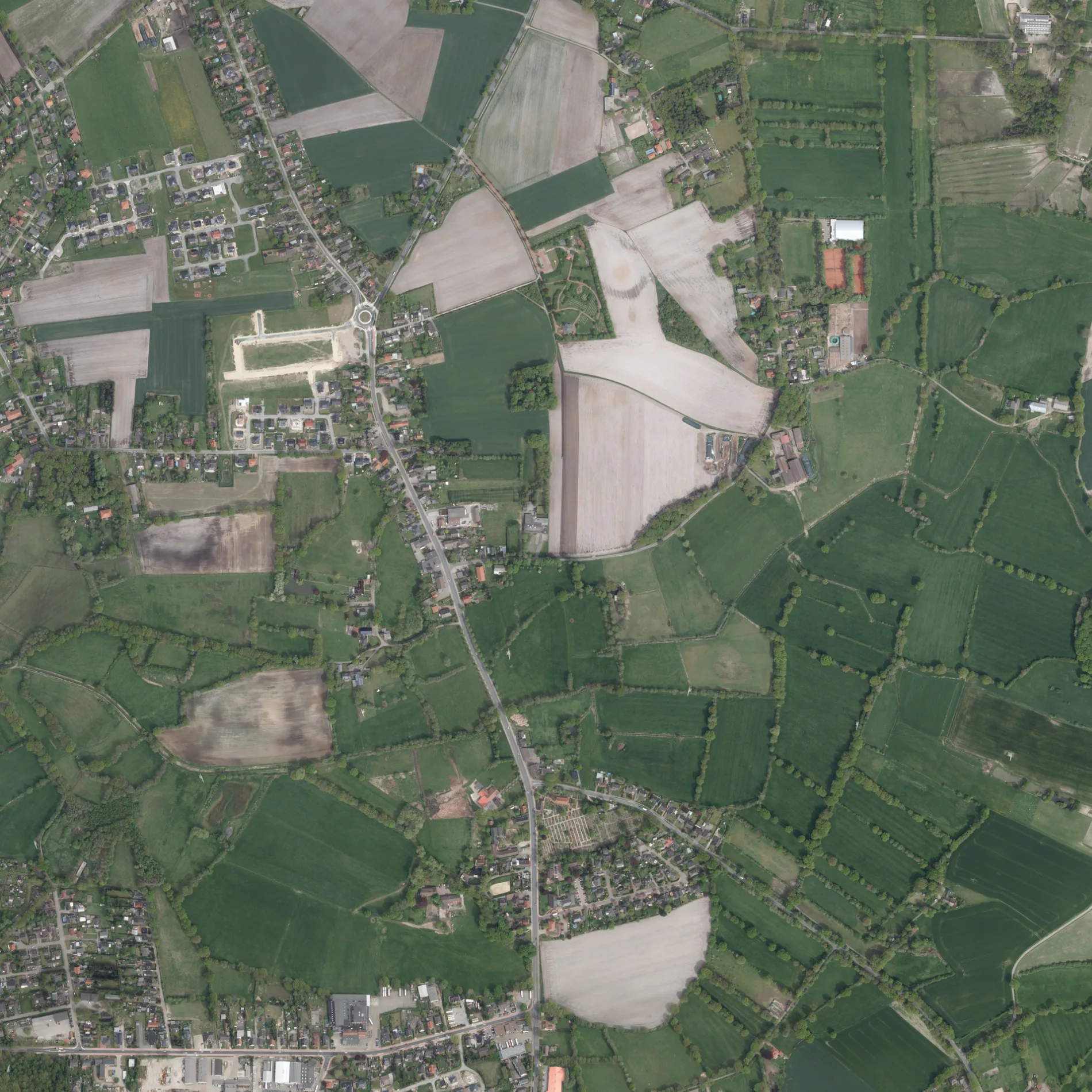
Straßen in der Umgebung
Rathaus150 m
Walter-Flex-Weg250 m
Lessingstraße350 m
Hermann-Löns-WegHohenbuchen, Rathaus Schwanewede
400 m
Pillauer Weg500 m
OstlandstraßeFilou, Pizza Jambo, Fuß- und Nagelpflege „Body Style“, Hundefriseur „Ihr Hundestudio“, Ostlandstraße/Heideschule, Gemeindebücherei, Die Tafel
500 m
Anne-Frank-Weg500 m
Schillerstraße550 m
Alma-Rogge-Weg550 m
Küstriner Straße550 m
Ritterkamp550 m
Landhaus Schwanewede600 m
Industrieweg600 m
Holzweg600 m
Logener WegLoge
600 m
MolkereiwegJehovas Zeugen, Wiesenweg, Molkereiweg
600 m
Hohenbuchener AlleeHerderstraße
600 m
Pastor-Heddenhausen-WegDr. Ahlers
600 m
HerderstraßeMr. Happy Döner
600 m
Wiesenweg650 m
Holzweiden700 m
Loge700 m
Danziger StraßeSchwanenberg
700 m
Alter Kirchweg750 m
DammSchwaneweder Landhaus, Landhaus Schwanewede, Am Spreeken, Koppelsberg, Rathaus
750 m
Königsberger Straße750 m
Goethestraße750 m
HeidkampSchützenweg, Volksbank, Deutsche Post, Ladestation Type 2 22 kW, Penny, Hol'ab, Änderungsschneiderei, Herderstraße, Friseur, Die Tänzerei - ADTV Tanzschule
800 m
VoßhallVoßhall
850 m
BrinkKawasaki / Yamaha Hülseberg, Mohrmannsweg, Brink/Pundt
900 m
Hasengasse950 m
Am Dachsbau1000 m
Fohlenweg1,0 km
Rehwinkel1,0 km
Am SpreekenAm Spreeken
1,0 km
Magdsteeg1,1 km
Zur Pferdeweide1,1 km
Friedhöfe in der Umgebung
Friedhof am Spreeken1,1 km
Gebäude in der Umgebung
Küsterhaus250 m
Reisedienst Von Rahden300 m
Dr. Cordelia Rose800 m
Mausoleum950 m
Gemeinschaftszentren in der Umgebung
St. Christophorus Gemeindehaus800 m
Gotteshäuser in der Umgebung
Friedhofskapelle200 m
Sankt Johannes250 m
Restaurants in der Umgebung
LeoNardo800 m
Sozialeinrichtungen in der Umgebung
newcare parc Schwanewede1000 m
Sportzentren in der Umgebung
Sporthalle Heideschule800 m
Supermärkte in der Umgebung
Aldi750 m
 ÖPNV-Stadtplan Schwanewede Legende
 | Bahn | |
| Bus | |
| Straßenbahn |
 Fahrradstadtplan Schwanewede Legende
 | Radweg | |
| Fahrradspur auf der Fahrbahn | |
| Radfahren auf der Busspur | |
| Fahrradstraße | |
| Für Radfahrer frei | |
| Für Radfahrer frei, guter Weg | |
| Radfahren verboten | |
| Kopfsteinpflaster |
| Fernradweg | (je nach Maßstab) | |
| Fernradweg |
 Fußgängerstadtplan Schwanewede Legende
 | Pfad |
| Fernwanderweg | (je nach Maßstab) | |
| Fernwanderweg | ||
| Fußgänger verboten |