
Brahmsstraße in Westoverledingen
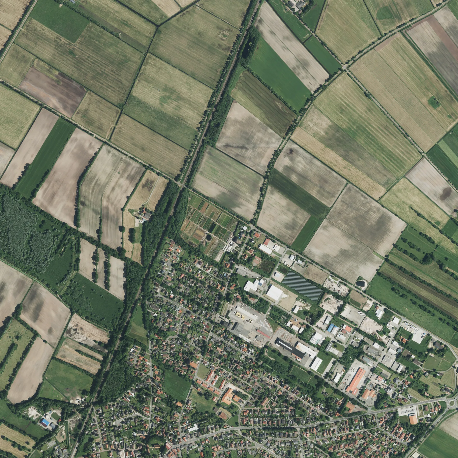
Die Brahmsstraße in Westoverledingen ist eine asphaltierte, beleuchtete Wohnstraße (30 km/h). Die Straße verfügt über einen Gehweg. Diese Straße liegt an der Fahrradroute „Kirchenroute (Westovereledingen) 🔗". Die nächste Haltestelle in der Nähe ist Bahnhofstraße/Lüdeweg (ca. 600 m entfernt). Eine Brahmsstraße gibt es auch in Moormerland, Ostrhauderfehn und Rhauderfehn.
- Straßentyp
- Wohnstraße
- Höchstgeschwindigkeit
- 30
Bild
Straßen in der Umgebung
Paul-Lincke-Straße50 m
Denkmalstraße100 m
Schumannstraße100 m
Robert-Stolz-Straße150 m
Haydnstraße150 m
Johann-Strauß-Straße150 m
Beethovenstraße200 m
Händelstraße200 m
Bachstraße250 m
Leharstraße250 m
Lortzingstraße250 m
Leegmeedlandsweg250 m
Von-Weber-Straße300 m
MendelssohnstraßeIhrhove
350 m
Griegstraße350 m
Ihrhove400 m
Künnekestraße400 m
Wagnerstraße400 m
Zu den Höfen II450 m
Orffstraße450 m
Otto-Hahn-Straße450 m
MozartstraßeEngberts Friseursalon
500 m
Ziehrerstraße500 m
Zellerstraße550 m
Lüdeweg550 m
Verdistraße550 m
Offenbachstraße550 m
Schubertstraße550 m
Teichstraße600 m
Schröderskamp600 m
Alte Molkerei600 m
Janßens Kamp600 m
Alte Pastorei650 m
Hermann-Metger-Straße650 m
BahnhofstraßeBahnhofstraße/Lüdeweg, Kreta, Uwe Veenker, Möbel Schröder, Rathaus (Ihrhove), Bei Filip, Friesenhof, Brunnen-Apotheke, Oll Wilm, Ihrhover Haarstudio, GEERS
650 m
Alemannenstraße700 m
Friesenweg750 m
Bauernhöfe in der Umgebung
Pferdepension Zu den Höfen II400 m
Baumschulen in der Umgebung
Baumschule Groenhagen350 m
Gebäude in der Umgebung
Getränke Adams350 m
Meyer Elementebau400 m
Dr. Windmann Pharma GmbH500 m
n-cut24550 m
Engberts Busreisen550 m
Seupt600 m
Graalmann600 m
Glockenturm650 m
Gotteshäuser in der Umgebung
Reformierte Kirche Ihrhove650 m
Schulen in der Umgebung
NordWest-College300 m
 ÖPNV-Stadtplan Westoverledingen Legende
 | Bahn | |
| Bus | |
| Straßenbahn |
 Fahrradstadtplan Westoverledingen Legende
 | Radweg | |
| Fahrradspur auf der Fahrbahn | |
| Radfahren auf der Busspur | |
| Fahrradstraße | |
| Für Radfahrer frei | |
| Für Radfahrer frei, guter Weg | |
| Radfahren verboten | |
| Kopfsteinpflaster |
| Fernradweg | (je nach Maßstab) | |
| Fernradweg |
 Fußgängerstadtplan Westoverledingen Legende
 | Pfad |
| Fernwanderweg | (je nach Maßstab) | |
| Fernwanderweg | ||
| Fußgänger verboten |