
Zellerstraße in Westoverledingen
Die Zellerstraße in Westoverledingen ist eine Wohnstraße. Die nächste Haltestelle in der Nähe ist Bahnhofstraße/Lüdeweg (ca. 150 m entfernt).
- Straßentyp
- Wohnstraße
Bild
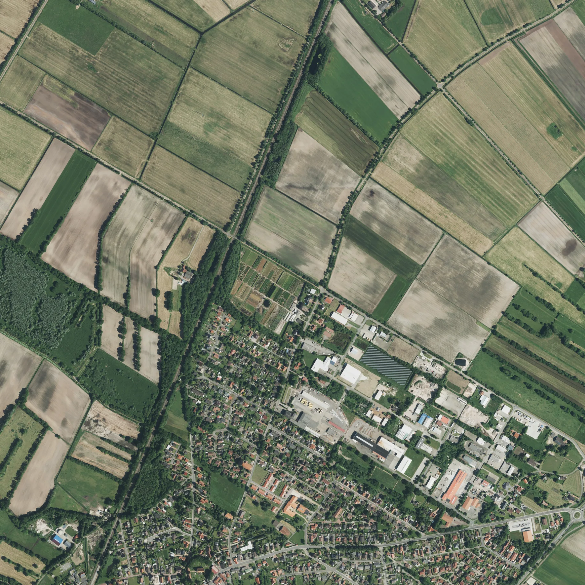
Straßen in der Umgebung
Janßens Kamp150 m
Künnekestraße150 m
Lüdeweg150 m
BahnhofstraßeBahnhofstraße/Lüdeweg, Kreta, Uwe Veenker, Möbel Schröder, Rathaus (Ihrhove), Bei Filip, Friesenhof, Brunnen-Apotheke, Oll Wilm, Ihrhover Haarstudio, GEERS
150 m
Schröderskamp200 m
Orffstraße200 m
MendelssohnstraßeIhrhove
200 m
Ziehrerstraße200 m
Griegstraße200 m
Von-Weber-Straße200 m
Alte Molkerei250 m
Offenbachstraße250 m
Alemannenstraße250 m
Alte Pastorei250 m
Schubertstraße300 m
Friesenweg300 m
Lortzingstraße300 m
MozartstraßeEngberts Friseursalon
300 m
Denkmalstraße300 m
Hermann-Metger-Straße300 m
Verdistraße350 m
Wagnerstraße350 m
Händelstraße350 m
Leharstraße400 m
Düster Pad450 m
Ihrhove500 m
Ihrhover Kirchstraße500 m
Teichstraße500 m
Wangerooger Straße550 m
Brandtsweg550 m
Baltrumer Straße550 m
Großwolder StraßeOstfriesische Volksbank, Großwolder Straße/Planckstraße, AZ Laden, Bei Toni, B70/Weidenstraße, Charly's Aalkate, Steenfelderfehn, Großwolder Straße 78/79, Lütjewolde, Großwolder Straße 169/186, Albert Schmid, Villa Kunterbunt, Access, Großwolder Straße 141/162, Großwolder Straße 163/172, Feuerwehr
550 m
Norderneyer Straße600 m
Am Rennschloot650 m
Ihrener StraßeIhrener Straße/Bahnhofstraße, Grundschule, Fokken, Ihrener Straße/Wallstraße, Ihrener Straße/Langer Weg, Ihrener Rundweg, Fahrschule Uwe Veenker, Freiwillige Feuerwehr Ihren, Ihrener Straße/Schottweg
650 m
Banken in der Umgebung
Sparkasse Ihrhove450 m
Bestattungsinstitute in der Umgebung
Reil600 m
Bäche in der Umgebung
Rennschloot650 m
Einkaufszentren in der Umgebung
Combi Ihrhove550 m
Gebäude in der Umgebung
Glockenturm350 m
Gemeinschaftszentren in der Umgebung
Gemeindehaus350 m
Gotteshäuser in der Umgebung
Reformierte Kirche Ihrhove350 m
Altreformierte Kirche Ihrhove550 m
Optiker in der Umgebung
Visser & Sohn500 m
Polizeidienststellen in der Umgebung
Polizeistation Ihrhove550 m
Rathäuser in der Umgebung
Rathaus Gemeinde Westoverledingen550 m
Schnellrestaurants in der Umgebung
Hollywood400 m
Ihrhover Grill450 m
Supermärkte in der Umgebung
ALDI Nord400 m
 ÖPNV-Stadtplan Westoverledingen Legende
 | Bahn | |
| Bus | |
| Straßenbahn |
 Fahrradstadtplan Westoverledingen Legende
 | Radweg | |
| Fahrradspur auf der Fahrbahn | |
| Radfahren auf der Busspur | |
| Fahrradstraße | |
| Für Radfahrer frei | |
| Für Radfahrer frei, guter Weg | |
| Radfahren verboten | |
| Kopfsteinpflaster |
| Fernradweg | (je nach Maßstab) | |
| Fernradweg |
 Fußgängerstadtplan Westoverledingen Legende
 | Pfad |
| Fernwanderweg | (je nach Maßstab) | |
| Fernwanderweg | ||
| Fußgänger verboten |