
Ekelmeedenweg in Uplengen Jübberde
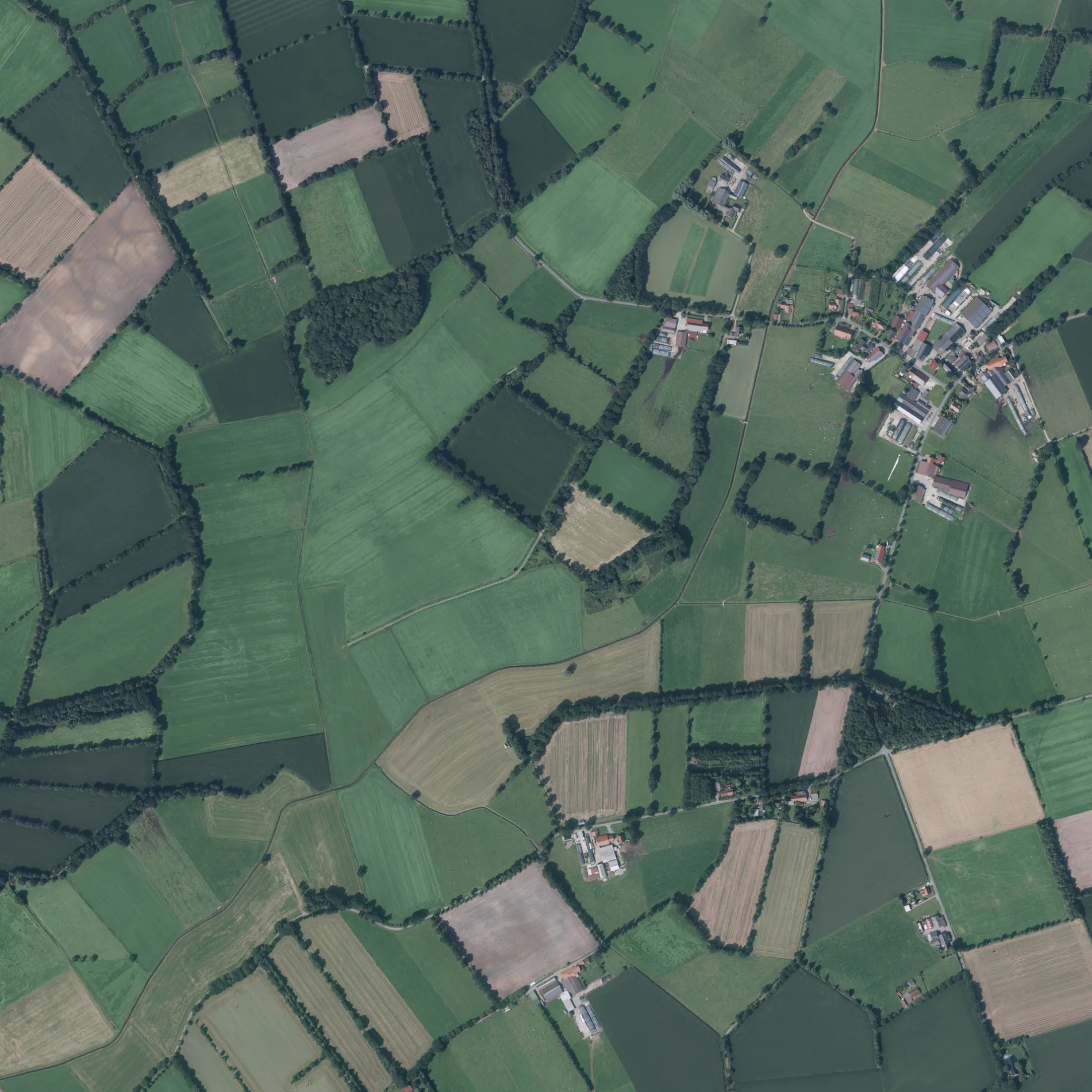
Der Ekelmeedenweg in Jübberde in Uplengen ist ein Feldweg (befestigter Weg). Die nächste Haltestelle in der Nähe ist Höbenstraße 1 (ca. 700 m entfernt).
- Straßentyp
- Feldweg
Bild
Kioske
Bushaltestellen
Tankstellen
Autowerkstätten
Parkplätze
Straßen in der Umgebung
Rermeedsweg300 m
Streekweg550 m
HochfeldstraßeHochfeldstraße/Verlängerungsweg
600 m
Achterkampenweg600 m
Papenkampsweg600 m
Hoppenweg650 m
Mühlenweg700 m
HöbenstraßeJübberde, Höbenstraße 1
750 m
Eschholzweg800 m
Hinterneufeldweg800 m
Winkelweg850 m
Neemeedsweg1000 m
Rietstückenweg1,0 km
Torfstichweg1,1 km
Eschenweg1,2 km
Jübberder Straße1,3 km
Brooksfelder Weg1,4 km
Gastenlandweg1,4 km
Kürvenweg1,4 km
Geesenweg1,4 km
Milbenweg1,4 km
Kleinsander Straße1,5 km
Feldweg1,5 km
Appelhorner Straße1,5 km
Pallerweg1,6 km
Achtermoorweg1,6 km
Alter Wüddenweg1,6 km
Hirtenholzweg1,6 km
Hausstellenweg1,7 km
An der Alten Wüdde1,7 km
Jübberder Grenzweg1,8 km
Ochsenkopfweg1,8 km
Süßackerweg1,8 km
Feuerwehrzufahrt2,0 km
Augustfehner StraßeWIRO Tankpunkt, Rudolf-Diesel-Straße
2,0 km
Innenhof2,0 km
An der A282,0 km
Autohäuser in der Umgebung
Ebers Automobile2,1 km
Feuerwachen in der Umgebung
Freiwillige Feuerwehr Jübberde1,2 km
Flüsse in der Umgebung
Hollener Ehe600 m
Gemeinschaftszentren in der Umgebung
Dorfgemeinschaftshaus Jübberde1,2 km
Geschäftsgebäude in der Umgebung
Kraftverkehr Heinz Hermann Koch2,1 km
Clemens Hoping GmbH2,1 km
Gräben in der Umgebung
Geesenschloot Süd1,9 km
Industriegebäude in der Umgebung
Helmut Hemken, Tischlerei2,1 km
Sodasan Wasch- und Reinigungsmittel GmbH2,1 km
Postdepots in der Umgebung
DPD Depot 1272,0 km
Restaurants in der Umgebung
Gasthaus Zum Grünen Jäger1,3 km
Stadien in der Umgebung
Reit- und Fahrstall Jelden GbR1,4 km
 ÖPNV-Stadtplan Jübberde Legende
 | Bahn | |
| Bus | |
| Straßenbahn |
 Fahrradstadtplan Jübberde Legende
 | Radweg | |
| Fahrradspur auf der Fahrbahn | |
| Radfahren auf der Busspur | |
| Fahrradstraße | |
| Für Radfahrer frei | |
| Für Radfahrer frei, guter Weg | |
| Radfahren verboten | |
| Kopfsteinpflaster |
| Fernradweg | (je nach Maßstab) | |
| Fernradweg |
 Fußgängerstadtplan Jübberde Legende
 | Pfad |
| Fernwanderweg | (je nach Maßstab) | |
| Fernwanderweg | ||
| Fußgänger verboten |