
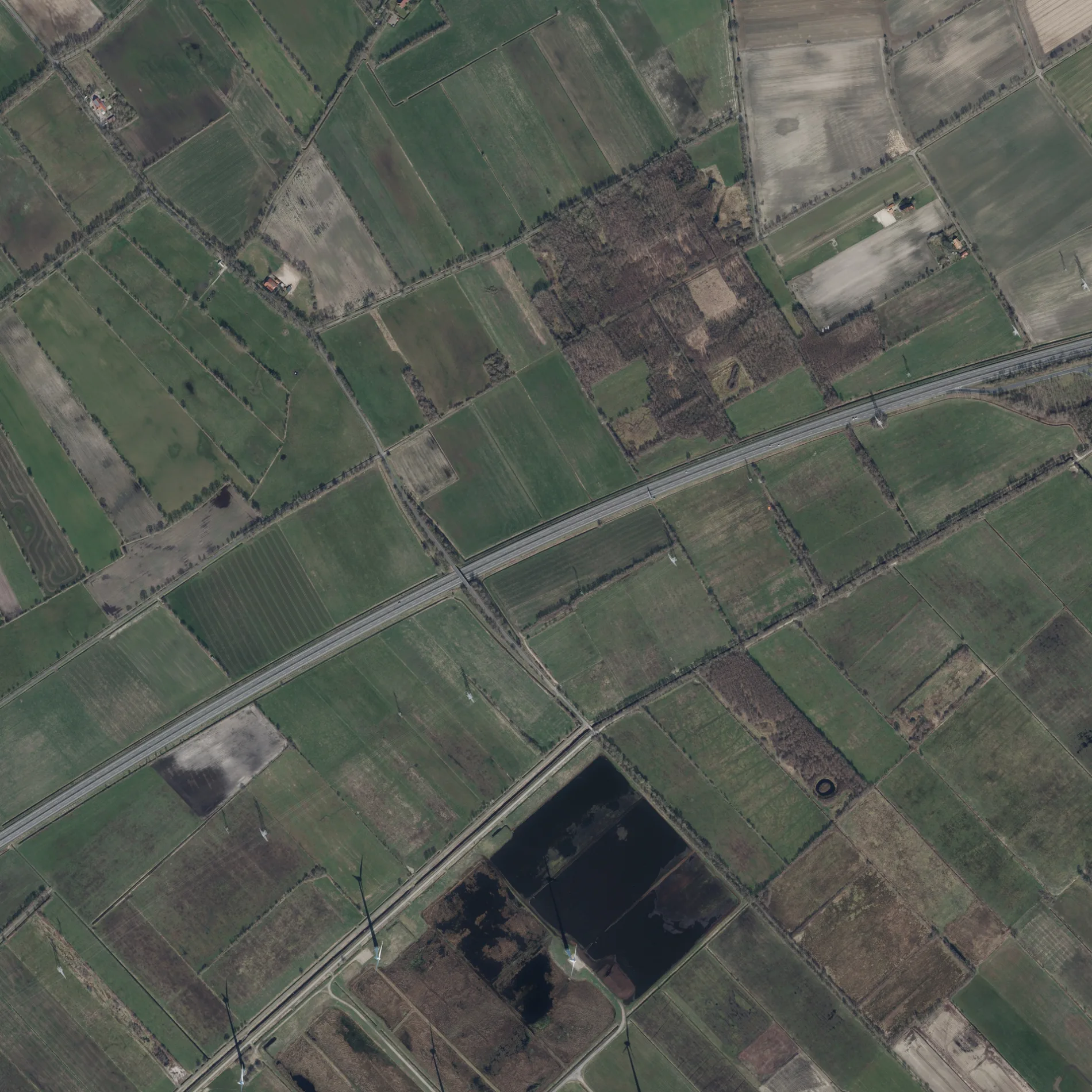
An der A28 in Uplengen Südgeorgsfehn
An der A28 in Südgeorgsfehn in Uplengen ist eine Nebenstraße.
- Straßentyp
- Nebenstraße
Bild
Bekleidungsgeschäfte
Touristeninformationen
Straßen in der Umgebung
Jübberder Grenzweg350 m
Ochsenkopfweg550 m
Moorvogtstraße700 m
Feuerwehrzufahrt950 m
Innenhof1,0 km
Vorfluter Seitenweg Süd1,0 km
Geesenweg1,1 km
Augustfehner StraßeBäckerei Ripken, Holzofencafé Ripken
1,1 km
NordobenendeSüdgeorgsfehn, KinnerKram Secondhand, Nordobenende 101, Nordobenende 157
1,1 km
Einfahrt Sodasan1,1 km
SüdobenendeUplengen, Deutsche Fehnroute
1,1 km
Rudolf-Diesel-StraßeHelmuth Felkel Kfz-Teile u. Autodienst
1,1 km
Autohof A28 ApenParkplatz am Autohof, Aral, REWE To Go
1,2 km
Kürvenweg1,3 km
Fehnbrücker Moorweg1,3 km
Torfstichweg1,3 km
Kreismoorstraße1,4 km
Hoppenweg1,4 km
Achtermoorweg1,5 km
Hollener StraßeHollener Straße/Augustfehner Straße
1,5 km
Milbenweg1,5 km
Tiegelstraße1,8 km
Autohäuser in der Umgebung
Ebers Automobile1,3 km
Flüsse in der Umgebung
Hollener Ehe1,4 km
Gebäude in der Umgebung
Matthias Sassen Galabau Montagebau1,1 km
DEGRO Fenster und Türen GmbH1,3 km
Tischlerei Wilhelm Eden1,4 km
Geschäftsgebäude in der Umgebung
Hermann Meyer Transporte1,1 km
Horega Gastrosysteme GmbH1,3 km
Hassleler Lohn und Erdabreiten1,3 km
Partyservice Cramer1,3 km
Böckmann Center Ostfriesland1,3 km
Kraftverkehr Heinz Hermann Koch1,3 km
Clemens Hoping GmbH1,4 km
v. Aschwege & Tönjes GmbH, Volvo-Trucks1,4 km
Orgelbau Ostfriesland GmbH & Co. KG1,5 km
Janßen Johann Kraftverkehr GmbH & Co. KG1,5 km
Gewerbegebiete in der Umgebung
Tierheim Jübberde1,2 km
Gräben in der Umgebung
Geesenschloot Süd1,2 km
Industriegebäude in der Umgebung
Sodasan Wasch- und Reinigungsmittel GmbH1,1 km
Helmut Hemken, Tischlerei1,2 km
ZinkPower Remels GmbH & Co. KG1,3 km
turboMech GmbH & Co. KG Metallverarbeitung1,5 km
Holzofenbäckerei Ripken1,9 km
Kanäle in der Umgebung
Stapeler Hauptvorfluter500 m
Südgeorgsfehnkanal1,5 km
Postdepots in der Umgebung
DPD Depot 1271,0 km
Schnellrestaurants in der Umgebung
McDonald's1,1 km
Stadien in der Umgebung
Reit- und Fahrstall Jelden GbR850 m
 ÖPNV-Stadtplan Südgeorgsfehn Legende
 | Bahn | |
| Bus | |
| Straßenbahn |
 Fahrradstadtplan Südgeorgsfehn Legende
 | Radweg | |
| Fahrradspur auf der Fahrbahn | |
| Radfahren auf der Busspur | |
| Fahrradstraße | |
| Für Radfahrer frei | |
| Für Radfahrer frei, guter Weg | |
| Radfahren verboten | |
| Kopfsteinpflaster |
| Fernradweg | (je nach Maßstab) | |
| Fernradweg |
 Fußgängerstadtplan Südgeorgsfehn Legende
 | Pfad |
| Fernwanderweg | (je nach Maßstab) | |
| Fernwanderweg | ||
| Fußgänger verboten |