
Lingener Straße in Lingen (Ems)
Die Lingener Straße in Lingen (Ems) ist eine zweispurige, asphaltierte Bundesstraße (70 km/h). Die Straße verfügt über Radwege. Diese Straße liegt an der Fernstraße „B 70". Hier verläuft die Buslinie 141. Die nächste Haltestelle in der Nähe ist Aa-Brücke/B70 (ca. 300 m entfernt). Eine Lingener Straße gibt es auch in Haselünne und Geeste.
- Fahrrad
- Nebenweg nutzen
- Straßentyp
- Bundesstraße
- Fahrspuren
- 2
- Höchstgeschwindigkeit
- 70
Bild
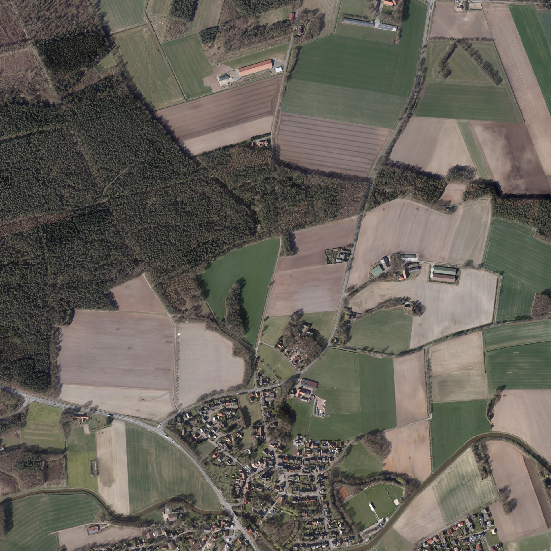
Straßen in der Umgebung
Messinger Straße50 m
In den Gärten250 m
Am Roggenkamp400 m
WaldstraßeLoegering
400 m
Ludwig-Schriever-Straße400 m
KirchstraßeLünne, Herbers, Restaurant & Gartencafé Helming
400 m
Mühlenstraße450 m
Calvin-Platz450 m
Wiesenweg500 m
Rheiner StraßeBlickpunkt, Lohner Landbäcker, Kiesbergstraße, Sachsenstraße, Pulsfort, Tecklenburger Straße, Famila Getränke, Famila, Mindener Straße, Göttinger-/Rheiner Straße, Volksbank Lingen eG - Filiale Darme, ADAC Geschäftsstelle, GTÜ, Am Strubbenberg, Fahrschulteam Thorsten Gels, Imbiss Fleischerei Gerken
500 m
Poggendanz500 m
Auf dem Damm500 m
Am Fischteich550 m
Neue StraßeLa Luna
550 m
Lingener StraßeAa-Brücke/B70, Hermes
550 m
Uferstraße600 m
Vorbrückenstraße600 m
Rosenweg650 m
Blankemater Straße650 m
Nelkenweg700 m
Pastor-Garnerus-Straße700 m
Bramscher Straße700 m
Brückenstraße700 m
Tulpenweg700 m
Am Esch800 m
Am Sportplatz850 m
St.-Vitus-Straße900 m
Heinrich-Schulte-StraßeVolksbank, Lünner Brauhaus
950 m
Kurze Heide950 m
Schützenweg950 m
Am Rodelberg1,0 km
Brümseler Straße1,1 km
Schoppenberg1,1 km
Sonnenbree1,1 km
SurdelwegMonis's Blumenlädchen, Brümseler Hütte
1,1 km
Am Schulweg1,2 km
Neeresch1,2 km
Bakkenkamp1,3 km
Wehwinkel1,3 km
Moorlager Straße1,4 km
Am Kreuzesch1,4 km
Ahornweg1,5 km
Beestener StraßeAltenlünne
1,5 km
Hellweg1,7 km
Deponien in der Umgebung
Abfallwirtschaft Landkreis Emsland1,4 km
Flüsse in der Umgebung
Große Aa350 m
Gewässer in der Umgebung
Mühlenkolk500 m
Gotteshäuser in der Umgebung
St. Vitus450 m
Parks in der Umgebung
Bürgerpark600 m
Sportplätze in der Umgebung
SV Blau Weiß Lünne950 m
 ÖPNV-Stadtplan Lingen (Ems) Legende
 | Bahn | |
| Bus | |
| Straßenbahn |
 Fahrradstadtplan Lingen (Ems) Legende
 | Radweg | |
| Fahrradspur auf der Fahrbahn | |
| Radfahren auf der Busspur | |
| Fahrradstraße | |
| Für Radfahrer frei | |
| Für Radfahrer frei, guter Weg | |
| Radfahren verboten | |
| Kopfsteinpflaster |
| Fernradweg | (je nach Maßstab) | |
| Fernradweg |
 Fußgängerstadtplan Lingen (Ems) Legende
 | Pfad |
| Fernwanderweg | (je nach Maßstab) | |
| Fernwanderweg | ||
| Fußgänger verboten |