
Waldstraße in Lünne
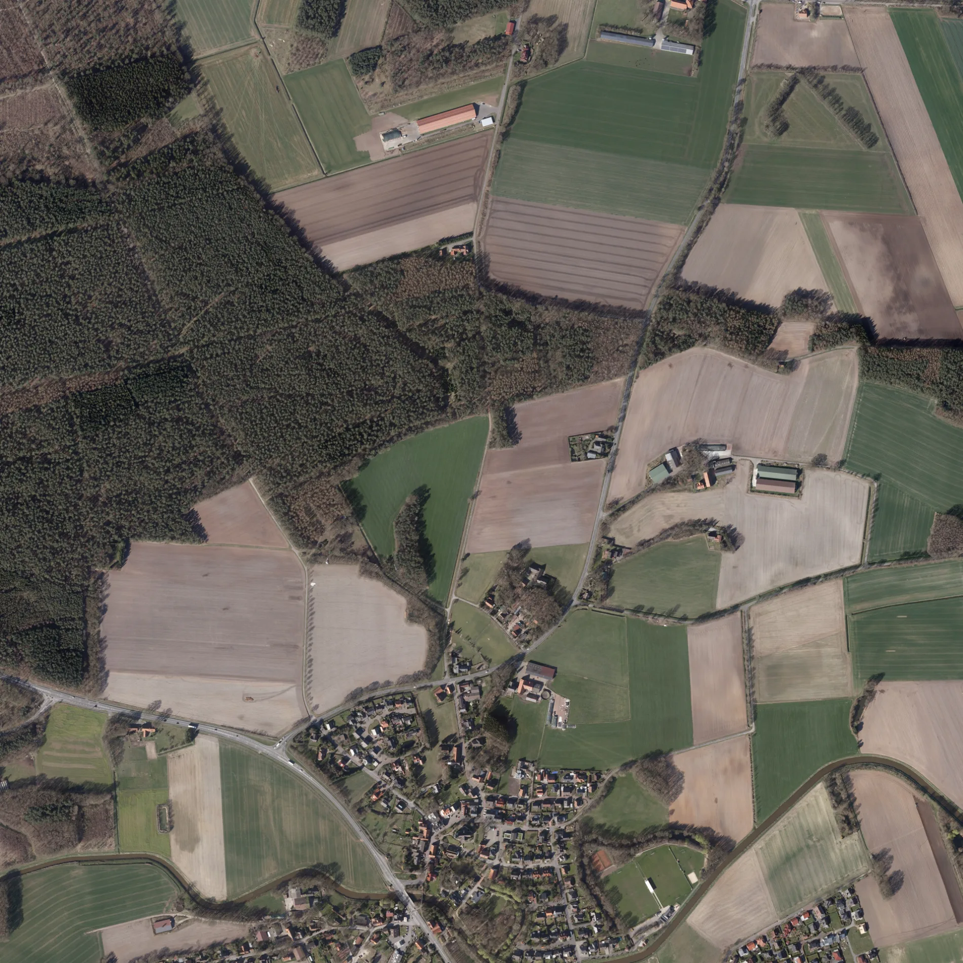
Die Waldstraße in Lünne ist eine nicht klassifizierte Straße und verläuft in Ost-West-Richtung und kreuzt die Lingener Straße, die Vorbrückenstraße und den Calvin-Platz. In der Umgebung befindet sich eine Tankstelle. Die nächste Bushaltestelle in der Nähe ist Aa-Brücke/B70 (ca. 150 m entfernt). Diese Straße ist Teil von Fahrradroute „73-90 🔗".
- Straßentyp
- Wohnstraße
- Verlauf
- Ost-West
Bild
Tankstellen
Straßen in der Umgebung
Calvin-Platz100 m
Ludwig-Schriever-Straße250 m
Lingener StraßeAa-Brücke/B70, Hermes
300 m
Pastor-Garnerus-Straße300 m
Vorbrückenstraße350 m
Auf dem Damm350 m
KirchstraßeLünne, Herbers, Restaurant & Gartencafé Helming
350 m
In den Gärten400 m
Bramscher Straße400 m
Messinger Straße400 m
Nelkenweg450 m
Mühlenstraße450 m
Rosenweg450 m
Uferstraße450 m
Wiesenweg450 m
Neue StraßeLa Luna
500 m
Brückenstraße550 m
Tulpenweg550 m
Am Esch550 m
Blankemater Straße600 m
Kurze Heide600 m
Heinrich-Schulte-StraßeVolksbank, Lünner Brauhaus
600 m
St.-Vitus-Straße600 m
Am Sportplatz650 m
Am Roggenkamp750 m
Poggendanz750 m
Am Fischteich750 m
Rheiner StraßeBlickpunkt, Lohner Landbäcker, Kiesbergstraße, Sachsenstraße, Pulsfort, Tecklenburger Straße, Famila Getränke, Famila, Mindener Straße, Göttinger-/Rheiner Straße, Volksbank Lingen eG - Filiale Darme, ADAC Geschäftsstelle, GTÜ, Am Strubbenberg, Fahrschulteam Thorsten Gels, Imbiss Fleischerei Gerken
750 m
Am Rodelberg850 m
Am Schulweg850 m
Bakkenkamp900 m
Sonnenbree900 m
Wilster Straße1000 m
Moorlager Straße1000 m
Neeresch1,0 km
Am Kreuzesch1,1 km
Schützenweg1,1 km
Wehwinkel1,1 km
Ahornweg1,1 km
Beestener StraßeAltenlünne
1,1 km
Heiteler Straße1,2 km
Speller WegHermes, Stadtkiosk Julius Frilling
1,2 km
Schoppenberg1,3 km
Brümseler Straße1,3 km
Flüsse in der Umgebung
Große Aa300 m
Gewässer in der Umgebung
Mühlenkolk350 m
Gotteshäuser in der Umgebung
St. Vitus400 m
Parks in der Umgebung
Bürgerpark400 m
Sportplätze in der Umgebung
SV Blau Weiß Lünne800 m
ÖPNV-Stadtplan Lünne Legende
| Bahn | |
| Bus | |
| Straßenbahn |
Fahrradstadtplan Lünne Legende
| Radweg | |
| Fahrradspur auf der Fahrbahn | |
| Radfahren auf der Busspur | |
| Fahrradstraße | |
| Für Radfahrer frei | |
| Für Radfahrer frei, guter Weg | |
| Radfahren verboten | |
| Kopfsteinpflaster |
| Fernradweg | (je nach Maßstab) | |
| Fernradweg |
Fußgängerstadtplan Lünne Legende
| Pfad |
| Fernwanderweg | (je nach Maßstab) | |
| Fernwanderweg | ||
| Fußgänger verboten |