
An den Forsten in Lastrup
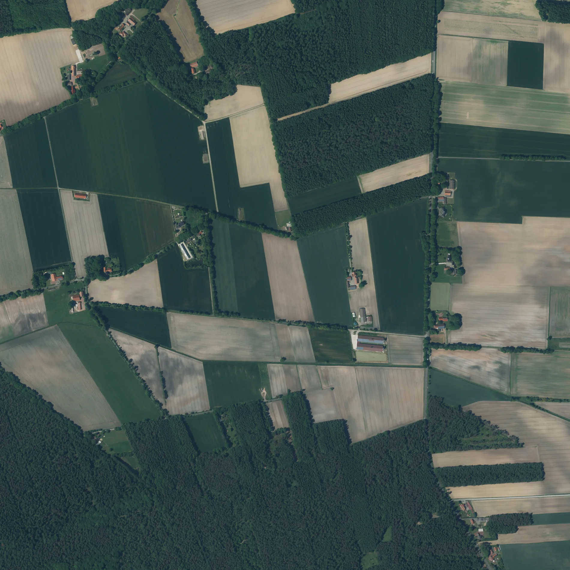
An den Forsten in Lastrup ist ein Feinkies- Feldweg (befestigter Weg).
- Straßentyp
- Feldweg
Bild
Tierzuchten
Zahnarztpraxen
Bushaltestellen
Touristeninformationen
Autowerkstätten
Wohnmobilstellplätze
Kunstwerke
Straßen in der Umgebung
Zum Forst600 m
Knockerei800 m
Brinks Busch1,0 km
Frochts1,1 km
Auf der Trift1,2 km
OsterhaukLanfer, Hamstrup, Lanfer, KFZ-Service Daniel Rammler
1,2 km
Zu den Forsten1,2 km
Essener StraßeHammesdamm
1,3 km
EichenkampKreuzung, Hamstrup, Kreuzung
1,3 km
Alter Schulweg1,4 km
Am Dallkamp1,5 km
Riehen1,5 km
Im Kamp1,6 km
Bunner StraßeMopszucht von der Wilhelmshöhe
1,6 km
SchlichtfeldLuna's Corner
1,7 km
Kleine Heide1,8 km
Vorm HeidelandSchuko's
1,9 km
Eichwall1,9 km
Birkenhain1,9 km
Moordamm1,9 km
Wildweg2,0 km
Zur Iburg2,0 km
Brinkweg2,0 km
OsterfeldBöckmann Pferde GmbH, Der Stall Böckmann in Hamstrup
2,0 km
Gegen den Diek2,0 km
Forstweg2,1 km
Stormstraße2,1 km
Zum Feld2,1 km
Lastruper Straße2,1 km
OsterbäkewegDas scharze Gold
2,1 km
Drift2,2 km
Alter Dorfweg2,2 km
EinhausEinhaus
2,2 km
Auf dem Sande2,3 km
Ebenkamper Straße2,3 km
Möhlendamm2,3 km
Bäche in der Umgebung
Bunner-Hamstruper Moorbach450 m
Kohlbruchbach1,5 km
Quebbe2,3 km
Gemeinschaftszentren in der Umgebung
Dorfgemeinschaftshaus Hamstrup1,4 km
Gräben in der Umgebung
Herberger Moorgraben1,9 km
Suhler Markbäke1,9 km
Industriegebiete in der Umgebung
HeWe 411,1 km
HaWe 351,8 km
HeWe 271,8 km
Erdoel2,2 km
Erdölbetrieb Lastrup2,2 km
Spielplätze in der Umgebung
Spielplatz FSC Hamstrup1,4 km
Wiesen in der Umgebung
"Obstwiese"2,0 km
 ÖPNV-Stadtplan Lastrup Legende
 | Bahn | |
| Bus | |
| Straßenbahn |
 Fahrradstadtplan Lastrup Legende
 | Radweg | |
| Fahrradspur auf der Fahrbahn | |
| Radfahren auf der Busspur | |
| Fahrradstraße | |
| Für Radfahrer frei | |
| Für Radfahrer frei, guter Weg | |
| Radfahren verboten | |
| Kopfsteinpflaster |
| Fernradweg | (je nach Maßstab) | |
| Fernradweg |
 Fußgängerstadtplan Lastrup Legende
 | Pfad |
| Fernwanderweg | (je nach Maßstab) | |
| Fernwanderweg | ||
| Fußgänger verboten |