
Ebenkamper Straße in Essen (Oldenburg) Herbergen
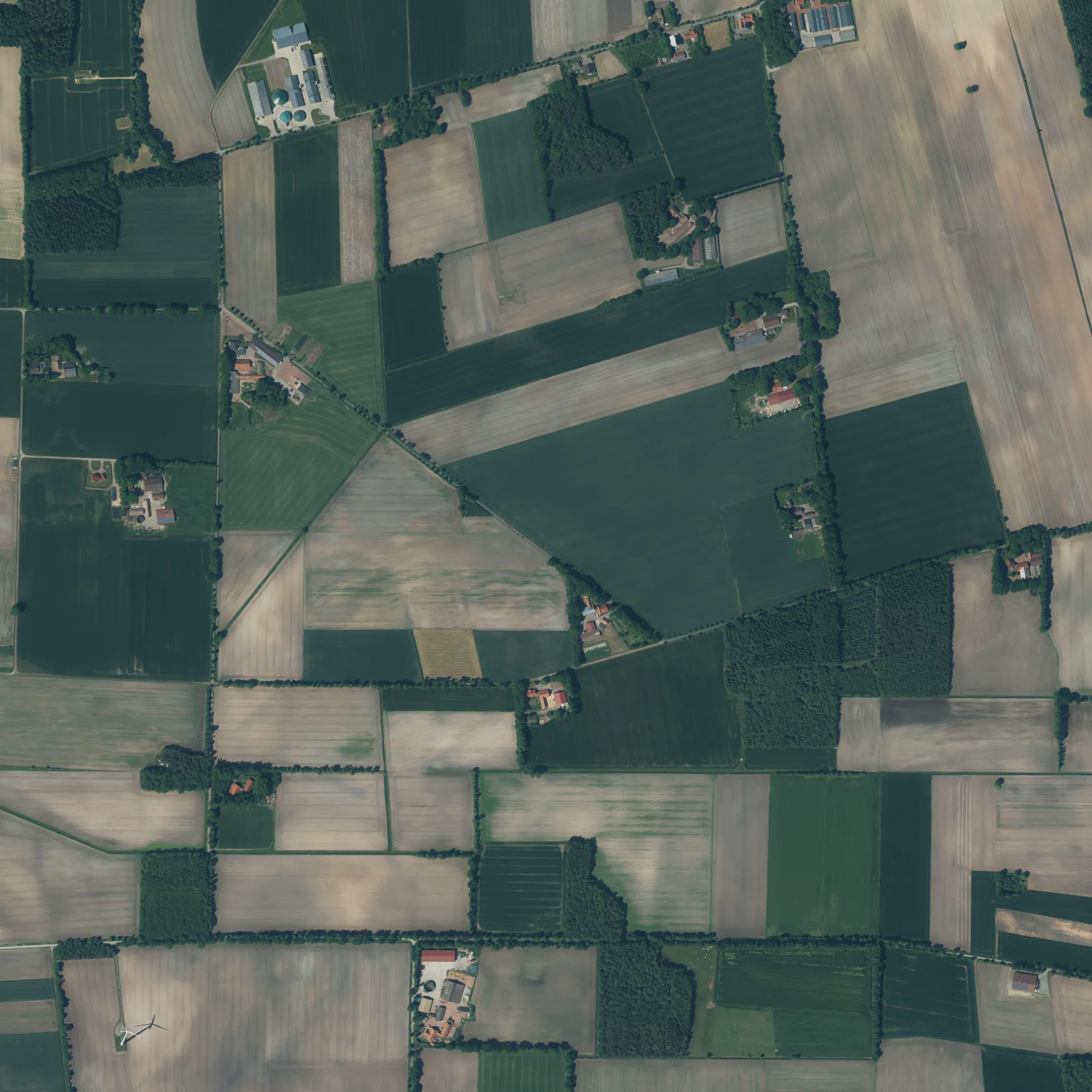
Die Ebenkamper Straße in Herbergen in Essen (Oldenburg) ist eine asphaltierte nicht klassifizierte Straße. Sie verläuft in Nord-Süd-Richtung und endet an Gegen den Diek, während das andere Ende eine Sackgasse ist.
- Straßentyp
- nicht klassifizierte Straße
- Verlauf
- Nord-Süd
Bild
Bushaltestellen
Straßen in der Umgebung
Gegen den Diek600 m
Up de Höge600 m
Moordamm900 m
Höger DammHerbergen
900 m
Im Kamp1000 m
Zum Moor1,1 km
Zum Feld1,3 km
Zu den Forsten1,3 km
Alter Dorfweg1,3 km
Brinkweg1,4 km
Zur Iburg1,4 km
Suhler Mark1,7 km
Zum Sandesch1,7 km
Essener StraßeHammesdamm
1,7 km
Zum Forst1,8 km
Zur Sandbäke1,8 km
Möhlendamm1,8 km
In den Wösten1,8 km
Brinks Busch1,9 km
Wildweg1,9 km
Drift2,0 km
An den Forsten2,3 km
Barlager StraßeBarlage
2,3 km
Knockerei2,3 km
Brookdamm2,3 km
Zum Horen2,3 km
Brahmweg2,4 km
Flerlagenweg2,4 km
Auf dem Sande2,5 km
Frochts2,5 km
Backstraße2,5 km
Vorm Esch2,5 km
FeldwegEhemalige Schule
2,6 km
Pastorenbusch2,6 km
Bloumenplacken2,6 km
Lastruper Straße2,7 km
Heideweg2,8 km
Nordwest-Tangente2,8 km
Kuhdamm2,8 km
Zur Strüh2,8 km
Forstweg2,9 km
Bäche in der Umgebung
Nadamer Bach1,2 km
Quebbe1,7 km
Eisenbahnstrecken in der Umgebung
Meppen - Essen2,7 km
Gräben in der Umgebung
Herberger Moorgraben450 m
Suhler Markbäke750 m
Industriegebiete in der Umgebung
Erdoel1,8 km
Hemmelte Z41,8 km
Erdölbetrieb Lastrup2,3 km
 ÖPNV-Stadtplan Herbergen Legende
| Bahn | |
| Bus | |
| Straßenbahn |
 Fahrradstadtplan Herbergen Legende
| Radweg | |
| Fahrradspur auf der Fahrbahn | |
| Radfahren auf der Busspur | |
| Fahrradstraße | |
| Für Radfahrer frei | |
| Für Radfahrer frei, guter Weg | |
| Radfahren verboten | |
| Kopfsteinpflaster |
| Fernradweg | (je nach Maßstab) | |
| Fernradweg |
 Fußgängerstadtplan Herbergen Legende
| Pfad |
| Fernwanderweg | (je nach Maßstab) | |
| Fernwanderweg | ||
| Fußgänger verboten |