
Moordamm in Essen (Oldenburg) Herbergen
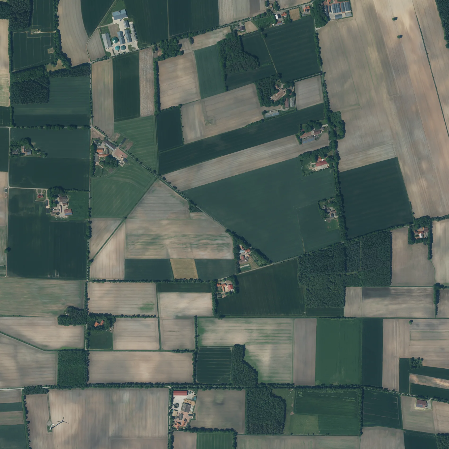
Der Moordamm in Herbergen in Essen (Oldenburg) ist eine asphaltierte nicht klassifizierte Straße. Es ist kein Radweg vorhanden. Er verläuft in Ost-West-Richtung und kreuzt die Lastruper Straße, die Ebenkamper Straße, die Straße Zur Sandbäke, den Höger Damm und die Cloppenburger Straße. Er verbindet Bartmannsholte und Herbergen. Diese Straße ist Teil von Fahrradroute „(31) - (38) 🔗".
- Straßentyp
- nicht klassifizierte Straße
- Verlauf
- Ost-West
Bild
Bushaltestellen
Straßen in der Umgebung
Im Kamp400 m
Ebenkamper Straße600 m
Zum Feld800 m
Gegen den Diek900 m
Essener StraßeHammesdamm
1,1 km
Up de Höge1,2 km
Zum Moor1,2 km
Zu den Forsten1,2 km
Moordamm1,3 km
Brinks Busch1,3 km
Zum Forst1,3 km
Höger DammHerbergen
1,4 km
Lastruper Straße1,4 km
Suhler Mark1,5 km
Alter Dorfweg1,6 km
Zur Iburg1,7 km
Brinkweg1,7 km
Drift1,8 km
Knockerei1,8 km
An den Forsten1,9 km
Frochts1,9 km
Auf dem Sande2,0 km
Möhlendamm2,1 km
Wildweg2,1 km
EinhausEinhaus
2,1 km
FeldwegEhemalige Schule
2,2 km
Backstraße2,2 km
Zum Sandesch2,2 km
OsterhaukLanfer, Hamstrup, Lanfer, KFZ-Service Daniel Rammler
2,2 km
Hemmelter StraßeSiedlung, Suhle, Siedlung, Ehemalige Schule, Suhle, ehemalige Schule
2,3 km
Im DiekSuhle, Ehemalige Schule, Von der Schule zum Haus der Dorfgemeinschaft Suhle
2,3 km
Zur Sandbäke2,3 km
Kuhdamm2,3 km
Telgengärten2,4 km
In den Wösten2,4 km
Steinberg2,4 km
Zur Strüh2,6 km
Bäche in der Umgebung
Nadamer Bach1,7 km
Quebbe2,0 km
Bunner-Hamstruper Moorbach2,2 km
Kohlbruchbach2,7 km
Gemeinschaftszentren in der Umgebung
Alte Schule Suhle2,3 km
Gräben in der Umgebung
Suhler Markbäke150 m
Herberger Moorgraben350 m
Industriegebiete in der Umgebung
Erdoel1,3 km
Erdölbetrieb Lastrup1,7 km
Hemmelte Z41,9 km
HeWe 272,2 km
HeWe 412,3 km
Spielplätze in der Umgebung
Spielplatz am Dorfgemeinschaftshaus Suhle2,3 km
 ÖPNV-Stadtplan Herbergen Legende
 | Bahn | |
| Bus | |
| Straßenbahn |
 Fahrradstadtplan Herbergen Legende
 | Radweg | |
| Fahrradspur auf der Fahrbahn | |
| Radfahren auf der Busspur | |
| Fahrradstraße | |
| Für Radfahrer frei | |
| Für Radfahrer frei, guter Weg | |
| Radfahren verboten | |
| Kopfsteinpflaster |
| Fernradweg | (je nach Maßstab) | |
| Fernradweg |
 Fußgängerstadtplan Herbergen Legende
 | Pfad |
| Fernwanderweg | (je nach Maßstab) | |
| Fernwanderweg | ||
| Fußgänger verboten |