
Hundsberg in Gaukönigshofen
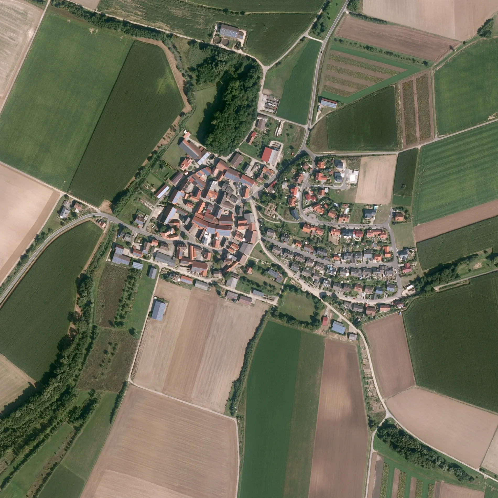
Der Hundsberg in Gaukönigshofen ist ein gepflasterter Feldweg (befestigter Weg). Er verläuft in Südost-Nordwest-Richtung von Sommerrain kommend. Die nächste Bushaltestelle in der Nähe ist Eichelsee Ort (ca. 150 m entfernt).
- Straßentyp
- Feldweg
- Verlauf
- Südost-Nordwest
Bild
Feuerwachen
Nähbedarfsgeschäfte
Straßen in der Umgebung
SommerrainFreiwillige Feuerwehr Eichelsee
100 m
Ochsenfurter Straße100 m
An der GoldgrubeB. Weber Änderungsschneiderei
100 m
Schulweg100 m
Waldstraße150 m
MarienplatzEichelsee Ort
200 m
Am Berg200 m
Im Wiesengrund200 m
Obere Goldgrube200 m
Hinterm Dorf200 m
Brunnenstube250 m
Eichelseer StraßeRittershausen
1,3 km
Sterngasse1,3 km
Hopferstadter Straße1,4 km
Kirchgasse1,4 km
Königshöfer Pfad1,5 km
Bei der KapelleFreiwillige Feuerwehr Rittershausen
1,5 km
Otto-Menth-StraßeRittershausen Bei der Kapelle, Rittershausen Otto-Menth-Straße
1,5 km
Friedenstraße1,5 km
Am Bahnhof1,5 km
Sonderhöfer Straße1,5 km
Am Pfad1,5 km
Dorfgraben1,6 km
Hinterer Rosengarten1,9 km
GaubahnradwegP 3, Ladestation 22kW, Gaukönigshofen
2,1 km
Im Burggraben2,1 km
Rittershäuser Straße2,1 km
Hofstallweg2,1 km
Oberer Rosengarten2,1 km
Unterer Rosengarten2,2 km
Am Sportplatz2,3 km
RosengartenGaukönigshofen Rosengarten
2,4 km
AlleestraßeBolzhausen Ort
2,6 km
Blumenstraße2,6 km
Riedweg2,6 km
Hofäcker2,6 km
BrückenstraßeBolzhausen
2,6 km
Bäche in der Umgebung
Thierbach350 m
Sonderhofer Mühlbach2,4 km
Schleibach2,6 km
Feuerwachen in der Umgebung
Freiwillige Feuerwehr Eichelsee150 m
Freiwillige Feuerwehr Bolzhausen2,6 km
Gebäude in der Umgebung
Pfarrhaus1,4 km
Gemeinschaftszentren in der Umgebung
Haus der Vereine150 m
Gotteshäuser in der Umgebung
St. Laurentius200 m
St. Matthäus1,4 km
Restaurants in der Umgebung
Piccolo Event-Restaurant2,0 km
Sportzentren in der Umgebung
Sportplatz150 m
Zoos in der Umgebung
Arche Gaukönigshofen1,8 km
 ÖPNV-Stadtplan Gaukönigshofen Legende
| Bahn | |
| Bus | |
| Straßenbahn |
 Fahrradstadtplan Gaukönigshofen Legende
| Radweg | |
| Fahrradspur auf der Fahrbahn | |
| Radfahren auf der Busspur | |
| Fahrradstraße | |
| Für Radfahrer frei | |
| Für Radfahrer frei, guter Weg | |
| Radfahren verboten | |
| Kopfsteinpflaster |
| Fernradweg | (je nach Maßstab) | |
| Fernradweg |
 Fußgängerstadtplan Gaukönigshofen Legende
| Pfad |
| Fernwanderweg | (je nach Maßstab) | |
| Fernwanderweg | ||
| Fußgänger verboten |