Landkreis Miltenberg is a district in Bavaria with about 128,484 inhabitants and an area of approximately 716 square kilometres. Its administrative area lies in the western part of Unterfranken along the Main, with Miltenberg, Obernburg am Main and Erlenbach am Main among its best-known towns.
The district has a recorded elevation of 224 metres above sea level and was established in its present historical administrative context in 1862. The Main valley connects Miltenberg with Aschaffenburg and the Odenwald to the west, while the Spessart begins north and east of the river.
Landkreis Bad Kissingen covers about 1,137 square kilometres and has approximately 99,022 inhabitants. The district includes the spa town of Bad Kissingen, the town of Hammelburg and the community of Bad Brückenau in northern Unterfranken.
The district reaches a recorded elevation of 330 metres and contains parts of the Rhön and the Franconian Saale valley. Bad Kissingen is known for its historic spa architecture and was included in the UNESCO World Heritage property “The Great Spa Towns of Europe” in 2021.
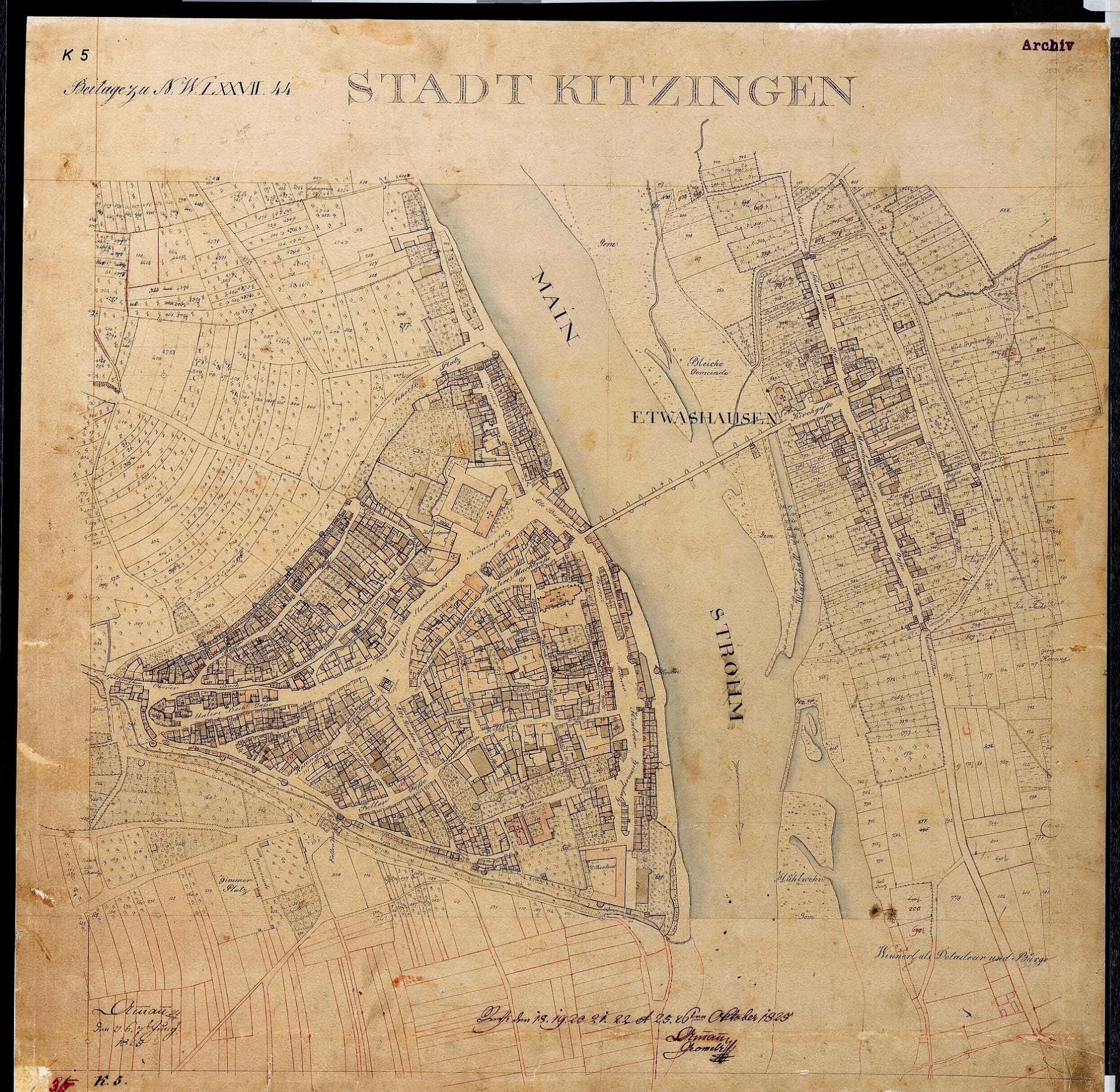
Landkreis Kitzingen is a district in Lower Franconia with about 79,304 inhabitants and an area of approximately 684 square kilometres. Kitzingen, Volkach and Iphofen are important towns in the district, which extends along the Main and the Main triangle.
The recorded elevation is 231 metres above sea level, and the district was established in 1862. The Main forms a major geographical axis through Kitzingen, while vineyards around Iphofen, Rödelsee and Volkach reflect the region’s position in the Franconian wine-growing area.
Würzburg is an independent city in northern Bavaria and the administrative centre of the Lower Franconian region. The city has about 133,258 inhabitants, covers approximately 87.66 square kilometres and lies at a recorded elevation of 177 metres.
Würzburg stands on the Main and is known for the Würzburg Residence, which has been a UNESCO World Heritage Site since 1981. The Marienberg Fortress overlooks the city from the opposite bank of the river, while the University of Würzburg, founded in 1402, is one of Germany’s historic universities.
Landkreis Würzburg is a rural district surrounding the independent city of Würzburg in Lower Franconia. It has approximately 161,340 inhabitants, covers about 967.56 square kilometres and reaches a recorded elevation of 346 metres.
The district includes towns such as Ochsenfurt, Veitshöchheim and Röttingen, and the Main crosses its territory near Würzburg and Ochsenfurt. Veitshöchheim is known for its former princely residence and court garden, while the southern district belongs to the agricultural and wine-growing landscape of the Main valley.
Landkreis Aschaffenburg is a Bavarian district with about 152,367 inhabitants and an area of approximately 699 square kilometres. It borders the independent city of Aschaffenburg and extends eastward from the Main valley into the wooded Spessart.
The district has a recorded elevation of 246 metres and was established in 1862. Towns and communities such as Alzenau, Hösbach and Mespelbrunn lie within the district, with Mespelbrunn Castle forming a notable Renaissance building in a wooded side valley of the Spessart.
Landkreis Haßberge lies in northern Lower Franconia and has approximately 84,599 inhabitants. The district covers about 956 square kilometres, reaches a recorded elevation of 368 metres and includes Haßfurt, Ebern and Hofheim in Unterfranken.
The district was created in 1972 and extends between the Main valley and the Haßberge hills. The Main passes through the western part near Haßfurt, while the historic towns of Ebern and Königsberg in Bayern preserve townscapes with medieval and early modern buildings.
Landkreis Schweinfurt is a district of Bavaria with about 103,697 inhabitants and an area of approximately 842 square kilometres. It surrounds the independent city of Schweinfurt and includes towns such as Gerolzhofen, Volkach and Werneck.
The district lies at a recorded elevation of 222 metres and was established in 1862. The Main crosses the western part of the district, while the Steigerwald rises to the east and the vineyards around Gerolzhofen connect the area with the wine-growing landscape of northern Bavaria.
Aschaffenburg is an independent town in Bavaria with approximately 73,091 inhabitants. The city covers about 62.45 square kilometres, lies at a recorded elevation of 138 metres and stands on the Main at the western edge of Unterfranken.
Johannisburg Palace is Aschaffenburg’s best-known historic building and was constructed in the early 17th century from red Main sandstone. The city is also adjacent to the Spessart, while the Main valley connects it with Miltenberg to the south and Frankfurt am Main to the northwest.
Schweinfurt is an independent city in Lower Franconia with about 55,067 inhabitants. It covers approximately 35.7 square kilometres, lies at a recorded elevation of 226 metres and is situated on the Main between Würzburg and the Rhön.
The city’s documented inception dates to 1254, and its historic centre includes the Renaissance town hall on the market square. Schweinfurt became an important industrial location through the production of ball bearings, while the Main harbour links the city with the river’s navigation network.
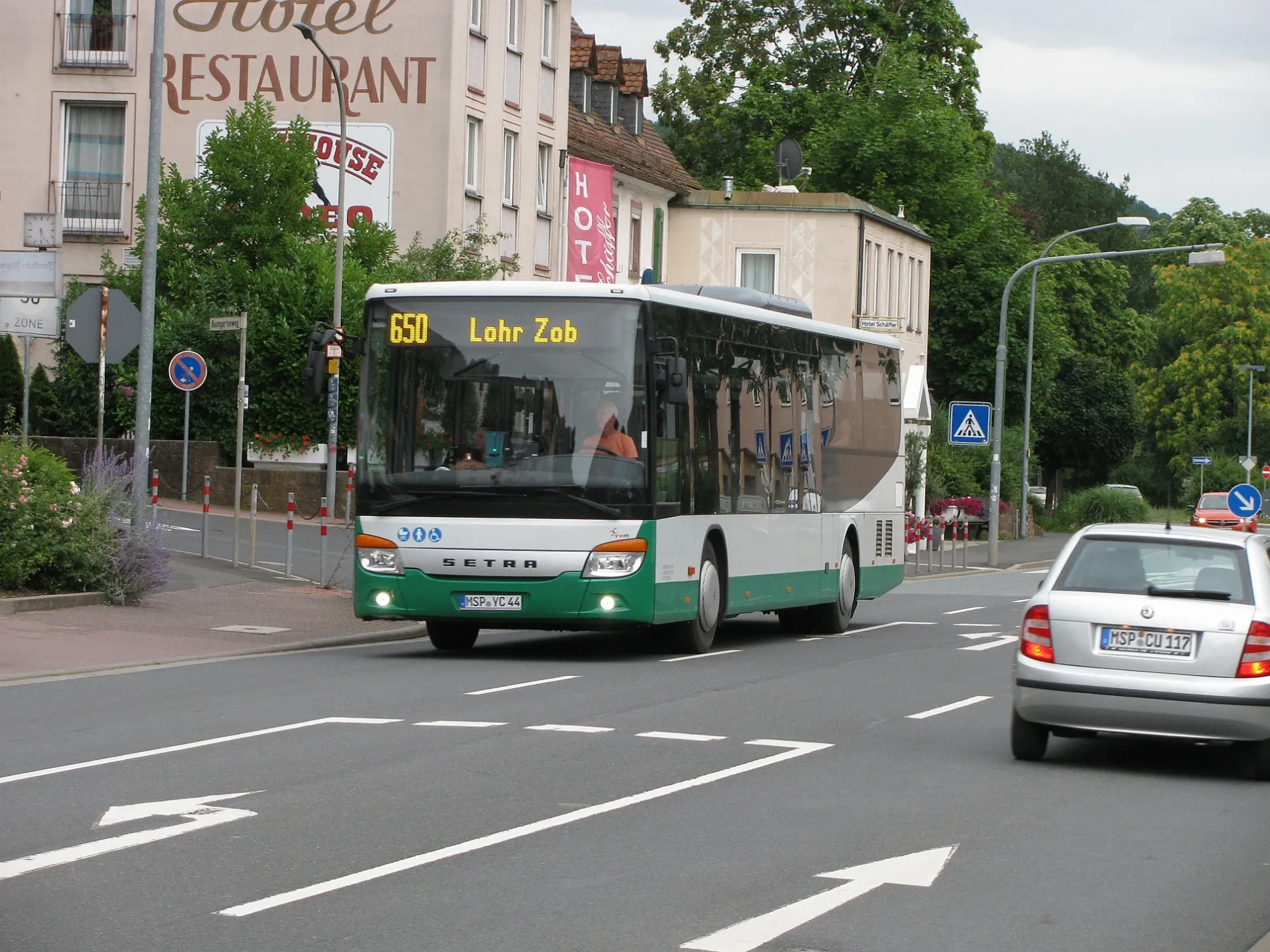
Landkreis Main-Spessart covers approximately 1,321.42 square kilometres and has about 126,523 inhabitants. The district includes the towns of Karlstadt, Lohr am Main, Marktheidenfeld and Gemünden am Main and extends across the Main valley and large parts of the Spessart.
Its recorded elevation is 313 metres, and the present district was formed in 1972. The Main flows through the district from east to west, while Lohr Castle is associated with the historical figure Snow White and the district town of Karlstadt preserves a medieval old town above the river valley.
Landkreis Rhön-Grabfeld is a northern Bavarian district with approximately 77,197 inhabitants and an area of about 1,022 square kilometres. It includes the towns of Bad Neustadt an der Saale, Mellrichstadt and Bad Königshofen im Grabfeld.
The district has a recorded elevation of 320 metres and was created in 1972. Its landscape extends from the Grabfeld plain toward the Rhön, and the Franconian Saale runs through Bad Neustadt and provides the principal river valley of the district.