
Egergasse in Nördlingen
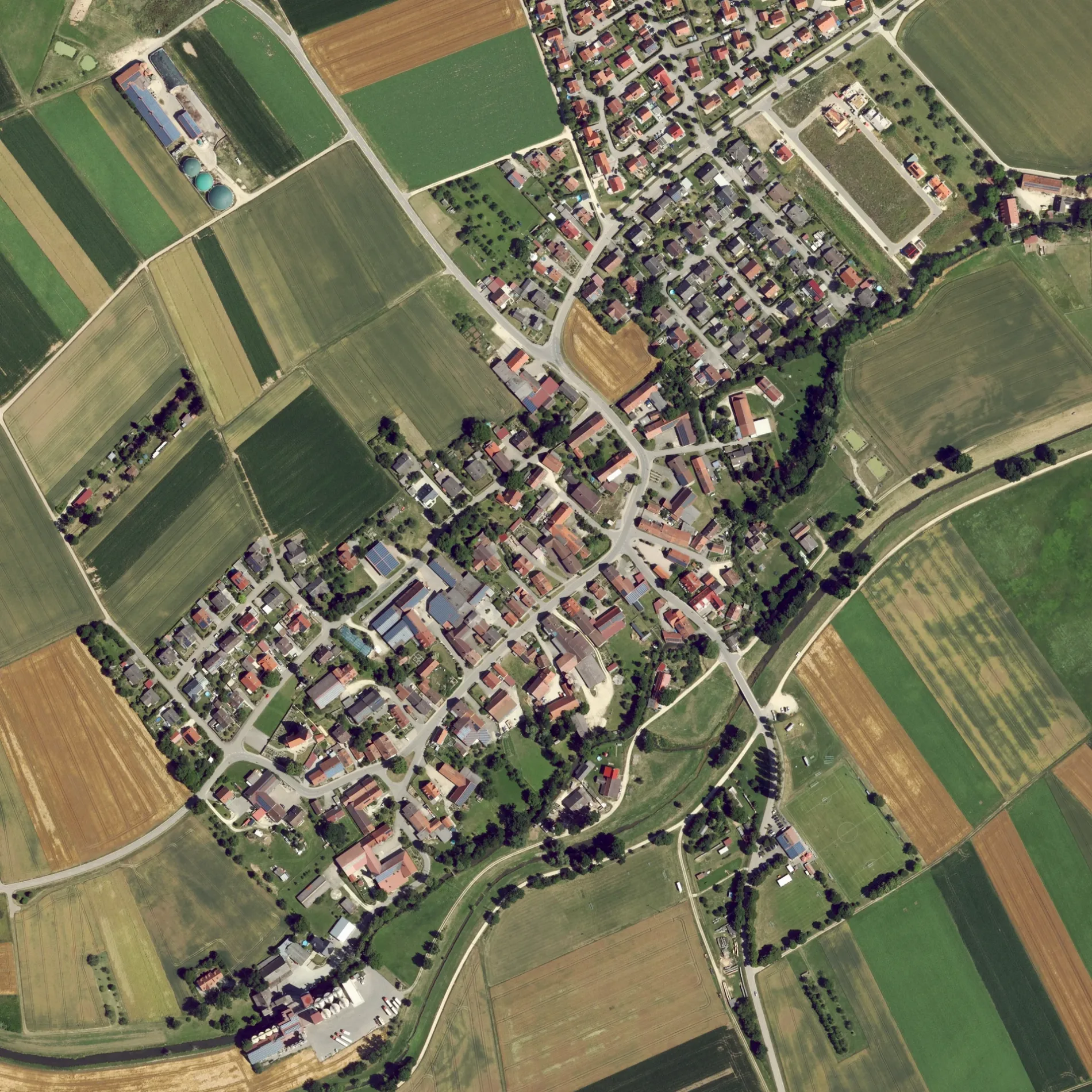
Die Egergasse in Nördlingen ist eine asphaltierte Wohnstraße (30 km/h). Diese Straße liegt an den Fahrradrouten SA 🔗, Ries 1 🔗, Mozartrunde 🔗, Schwäbische Alb Radweg 🔗 und Radweg von Krater zu Krater West 🔗. Hier verläuft die Buslinie 506. In der Umgebung befindet sich eine Fleischerei. Die nächste Bushaltestelle in der Nähe ist Riesstraße (ca. 100 m entfernt).
- Straßentyp
- Wohnstraße
- Höchstgeschwindigkeit
- 30
Bild
Fleischereien
Straßen in der Umgebung
RiesstraßeNähermemmingen, römischer Meilenstein, Riesstraße
250 m
Hohlweg300 m
BruckmühlwegBruckmühlweg
300 m
Breitengwand300 m
Näherm.-Baldingen450 m
Reisbergweg450 m
Faberäcker450 m
In den Barten450 m
Hochstraße500 m
Ährenweg550 m
Klötzenmühlweg550 m
Bei den Seewiesen600 m
Hochrankenweg600 m
Am Strichgraben700 m
Waldweg700 m
Pflaumlocher Straße750 m
Walkbühlweg850 m
WalkmühlwegWalkmühle
950 m
Utzmemminger Weg1,1 km
Nördlinger StraßeRiesblick
1,2 km
An der Eger1,2 km
LohmühlwegHofladen Lohmühle
1,2 km
Siemensstraße1,2 km
Schloßäcker1,3 km
Stegmühle1,4 km
Walkstraße1,4 km
Rosenstraße1,4 km
BrunnenstraßeAdler
1,4 km
Kirchenweg1,4 km
Weinhecken1,5 km
Schmelzeisenweg1,5 km
Pfarrstraße1,5 km
Am Himmelreich1,5 km
Bauernhöfe in der Umgebung
Lohmühle1,2 km
Bäche in der Umgebung
Schmalenbach1,2 km
Maienbach1,5 km
Deponien in der Umgebung
Deponie1,4 km
Flüsse in der Umgebung
Eger950 m
Gebäude in der Umgebung
Gasthof Riesblick1,2 km
Gotteshäuser in der Umgebung
Marienkirche400 m
St. Martin1,3 km
Gräben in der Umgebung
Arlachgraben1,2 km
Häuser in der Umgebung
Datscha950 m
Industriegebiete in der Umgebung
Wasserschutzgebiet-Fassung850 m
Naturschutzgebiete in der Umgebung
Riegelberg1,2 km
Spielplätze in der Umgebung
Spielplatz Ährenweg Nähermemmingen550 m
Wohngebiete in der Umgebung
Klötzenmühle600 m
Walkbühl900 m
Walkmühle1,0 km
 ÖPNV-Stadtplan Nördlingen Legende
 | Bahn | |
| Bus | |
| Straßenbahn |
 Fahrradstadtplan Nördlingen Legende
 | Radweg | |
| Fahrradspur auf der Fahrbahn | |
| Radfahren auf der Busspur | |
| Fahrradstraße | |
| Für Radfahrer frei | |
| Für Radfahrer frei, guter Weg | |
| Radfahren verboten | |
| Kopfsteinpflaster |
| Fernradweg | (je nach Maßstab) | |
| Fernradweg |
 Fußgängerstadtplan Nördlingen Legende
 | Pfad |
| Fernwanderweg | (je nach Maßstab) | |
| Fernwanderweg | ||
| Fußgänger verboten |