
Emperbichlstraße in Schleching
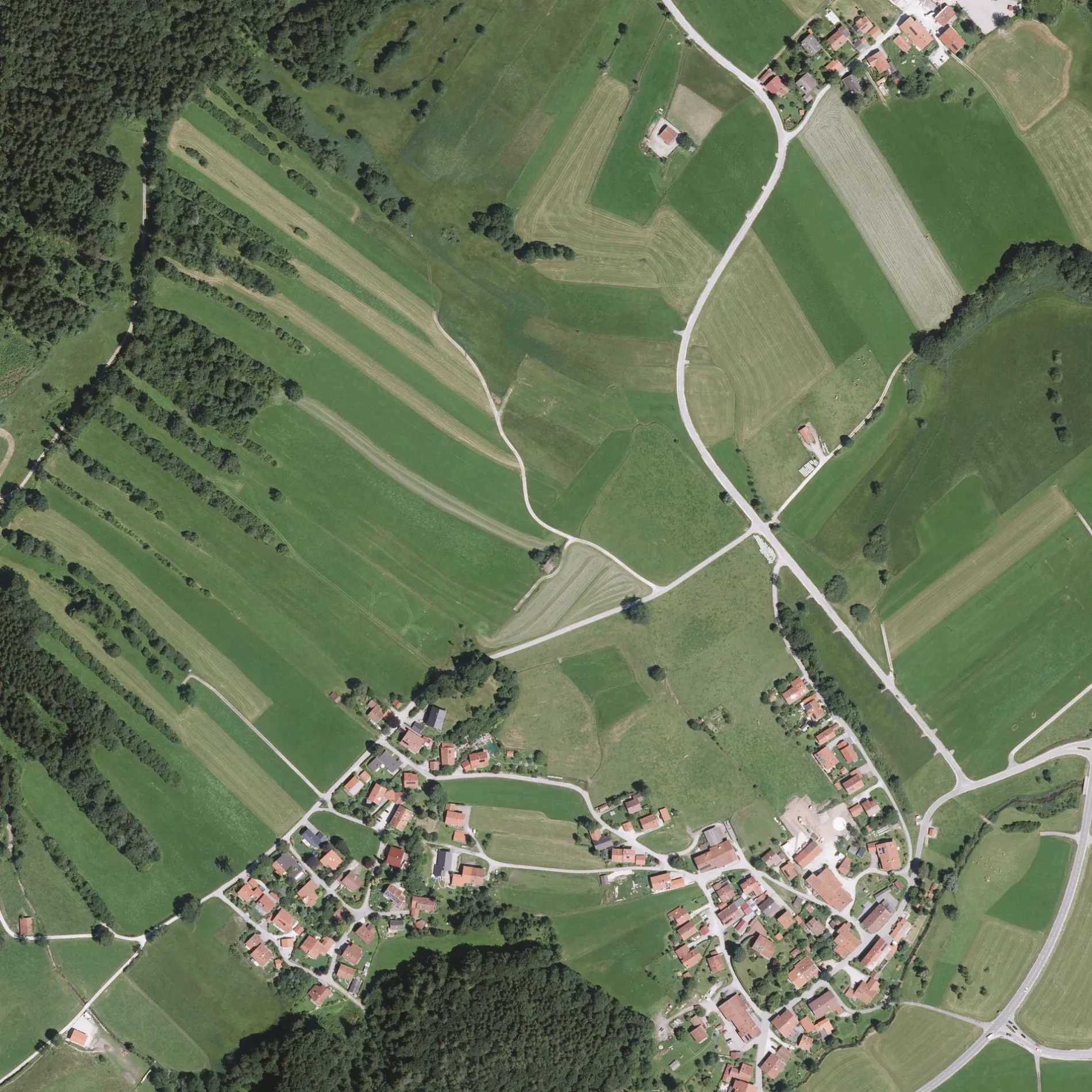
Die Emperbichlstraße in Schleching ist eine asphaltierte Wohnstraße (50 km/h). Die Straße verfügt über keine Gehwege. Diese Straße liegt an den Wanderwegen Grenzenlos Wanderweg (Sachrang - Kössen - Prien), Großer Talrundweg, Schlechinger Wanderweg 61 und Schlechinger Wanderweg 2 sowie der Fahrradroute „Achentalradweg 🔗". Die nächste Haltestelle in der Nähe ist Abzw. Raiten (ca. 500 m entfernt).
- Straßentyp
- Wohnstraße
- Höchstgeschwindigkeit
- 50
Bild
Restaurants
Kioske
Eisdielen
Bushaltestellen
Feuerwachen
Straßen in der Umgebung
Brändweg150 m
Weitwiesstraße200 m
Langackerweg250 m
Engerait300 m
Hochplattenweg400 m
Marquartsteiner StraßeRaiten
500 m
Lanzinger Straße500 m
Kirchbichl500 m
AchentalstraßeParzinger, Rait'ner Wirt, Abzw. Raiten
600 m
Raitener StraßeAbzw. Mühlau, Mettenham, Zeller Wand, Eis-Straßenverkauf Gasthof Zellerwand, Getränkemarkt Mettenham
950 m
Raitner StraßeCasa Picola
1,1 km
DonauDonau
1,3 km
Windseestraße1,3 km
Schwaigerweg1,3 km
WetterkreuzstraßeUnterwössen Schule
1,3 km
Gneigweg1,4 km
Am Flugplatz1,4 km
Zollweg1,5 km
StreichenwegSegelflugschule, Besucher-Parkplatz Segelflugplatz, Staffen
1,6 km
MesnerwegHeser - Farben und Basteln
1,7 km
Rathausgasse1,7 km
Autowerkstätten in der Umgebung
Klein Smartrepair1,3 km
Bäche in der Umgebung
Raitener Bach600 m
Lanzinger Mühlbach900 m
Balsberger Graben1,3 km
Felsen in der Umgebung
Doline950 m
Garagen in der Umgebung
DASSU Tankstelle1,4 km
Gebäude in der Umgebung
Huberkaser1,1 km
SGSM Halle1,3 km
FSGU Halle1,3 km
DASSU Flugleitung1,6 km
Stumbeck Hof1,7 km
Schützenheim Unterwössen1,7 km
Gemeinschaftszentren in der Umgebung
Sportheim S.V. Unterwössen1,5 km
Geschäftsgebäude in der Umgebung
DASSU Flugschule1,4 km
Gewässer in der Umgebung
Stelzer Weiher (FV Wössen)1,4 km
Gotteshäuser in der Umgebung
Maria zu den sieben Linden450 m
Naturschutzgebiete in der Umgebung
Süssener und Lanzinger Moos1,3 km
Recyclingpunkte in der Umgebung
Wertstoffhof Unterwössen1,6 km
Restaurants in der Umgebung
Fliegeralm1,6 km
Sportzentren in der Umgebung
SV Unterwössen e.V.1,6 km
Turnhalle Unterwössen1,6 km
Tennisverein Unterwössen e.V.1,6 km
Gebirgsschützen Kompanie Wössen-Achental1,7 km
Steinbrüche in der Umgebung
Kies-Lagerplatz1000 m
Steinbruch Bosch1,4 km
Wiesen in der Umgebung
Weitwiesalm1,1 km
Huberalm1,1 km
Sonstiges in der Umgebung
Deutsche Alpen-Segelflugschule Unterwössen1,3 km
 ÖPNV-Stadtplan Schleching Legende
 | Bahn | |
| Bus | |
| Straßenbahn |
 Fahrradstadtplan Schleching Legende
 | Radweg | |
| Fahrradspur auf der Fahrbahn | |
| Radfahren auf der Busspur | |
| Fahrradstraße | |
| Für Radfahrer frei | |
| Für Radfahrer frei, guter Weg | |
| Radfahren verboten | |
| Kopfsteinpflaster |
| Fernradweg | (je nach Maßstab) | |
| Fernradweg |
 Fußgängerstadtplan Schleching Legende
 | Pfad |
| Fernwanderweg | (je nach Maßstab) | |
| Fernwanderweg | ||
| Fußgänger verboten |