
Wiesenweg in Karlsfeld
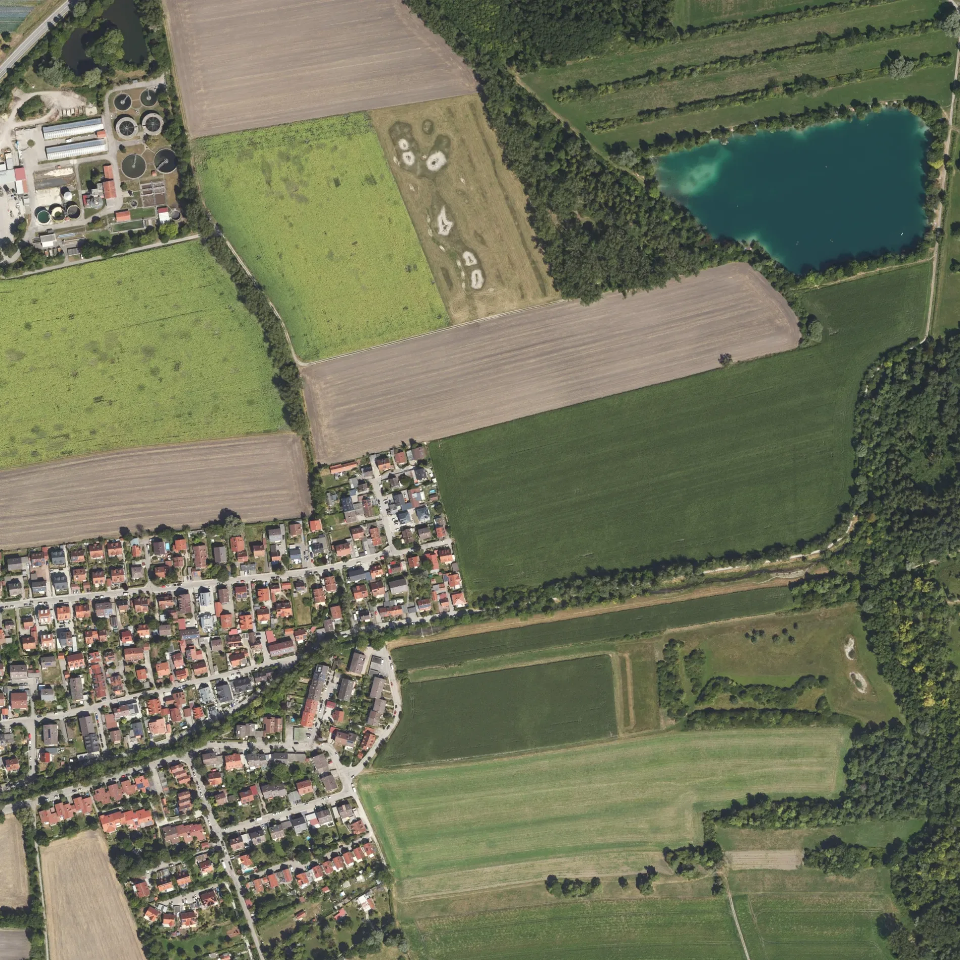
Der Wiesenweg in Karlsfeld ist eine asphaltierte Wohnstraße (30 km/h). Hier verläuft die Buslinie 702. Die nächste Haltestelle ist Wiesenweg. Hier halten die Buslinie 702. Einen Wiesenweg gibt es auch in Markt Indersdorf, Erdweg, Odelzhausen, Pfaffenhofen an der Glonn und Sulzemoos.
- Straßentyp
- Wohnstraße
- Höchstgeschwindigkeit
- 30
Bild
Bushaltestellen
- Buslinien 702
Straßen in der Umgebung
Augustenfelder Weg100 m
Peggy-March-Brücke100 m
Am KrebsbachWiesenweg
150 m
Wildmoosstraße150 m
Kräuterweg150 m
Heuweg150 m
Am Anger150 m
Farnweg200 m
Schwarzhölzlstraße250 m
Moosweg250 m
Bachweg400 m
HochstraßeKarlsfeld, Sportpark, Rathausstraße, Bachweg, Karlsfeld, Herzlich willkommen in der Gemeinde Karlsfeld, Stadtplan Karlsfeld, Bei Niko, Ostenstraße, Shato am See, Schwarzhölzlstraße
450 m
Feldstraße600 m
Josef-Koller-WegDer neue Moosgraben, Schwarzhölzl
600 m
BajuwarenstraßeHort, Akazienstraße, Postbank, MBC Horvat - Metzgerei Bäckerei Catering, Feinkost-Mesch
700 m
Edelweißweg850 m
Enzianweg900 m
Fliederweg900 m
VeilchenwegAnnas Taverne
1,0 km
Am Spatzenwinkel1,0 km
Fasanenweg1,0 km
Feldmochinger Weg1,1 km
Veilchenstraße1,1 km
Fliederstraße1,1 km
NobelstraßeFasanenstraße
1,1 km
Amselweg1,1 km
Am FinkenschlagKoh Samui
1,1 km
Drosselanger1,1 km
Waldlehrpfad1,2 km
Schleißheimer StraßeDAH_PPWiesböck_LS01, Kopernikusstraße, Abzweig, Hotel MODI, Rackls Backstube, Physio Aktiv, Dachau Kebab Haus, Dachau, Obergrashof, Hofladen Obergrashof, Ignaz-Taschner-Gymnasium, Mamma Rosa, Zum Bachwirt, Erasmus-Reismüller-Straße, Hotel Pension Augustenfeld, Sankt-Peter-Straße, Sparkasse, Sonnen-Apotheke, Edeka, Pflegefeen GmbH, Leder im Trend, Ahornapotheke, Dr. Neuhann, Theodor-Heuss-Straße, Fahrschule Dachau, Dr. Franz Bader, ZÄ Karin Bader, STEIRER, SectioAurea
1,4 km
Betriebsgebäude in der Umgebung
Brunnen 31,2 km
Brunnen 21,2 km
Brunnen 11,2 km
Bäche in der Umgebung
Moosgraben450 m
Krebsbach450 m
Saubach700 m
Kalterbach1,1 km
Obergrashofer Bach1,5 km
Gebäude in der Umgebung
Monopteros1000 m
Werk 31,2 km
Gewässer in der Umgebung
Mückensee800 m
Baggersee Obergrashof III1,0 km
Baggersee Obergrashof II1,3 km
Baggersee Obergrashof I1,4 km
Kindergärten in der Umgebung
Spatzennest1,0 km
Kindergarten Obergrashof1,6 km
Kleingartenanlagen in der Umgebung
Kleingartenverein Karlsfeld e.V.800 m
Strände in der Umgebung
Erholungsgebiet Karlsfelder See1000 m
Transformatorenstationen in der Umgebung
Trafohäusl Karlsfeld - Augustenfelder Weg250 m
 ÖPNV-Stadtplan Karlsfeld Legende
 | Bahn | |
| Bus | |
| Straßenbahn |
 Fahrradstadtplan Karlsfeld Legende
 | Radweg | |
| Fahrradspur auf der Fahrbahn | |
| Radfahren auf der Busspur | |
| Fahrradstraße | |
| Für Radfahrer frei | |
| Für Radfahrer frei, guter Weg | |
| Radfahren verboten | |
| Kopfsteinpflaster |
| Fernradweg | (je nach Maßstab) | |
| Fernradweg |
 Fußgängerstadtplan Karlsfeld Legende
 | Pfad |
| Fernwanderweg | (je nach Maßstab) | |
| Fernwanderweg | ||
| Fußgänger verboten |