
Peggy-March-Brücke in Karlsfeld
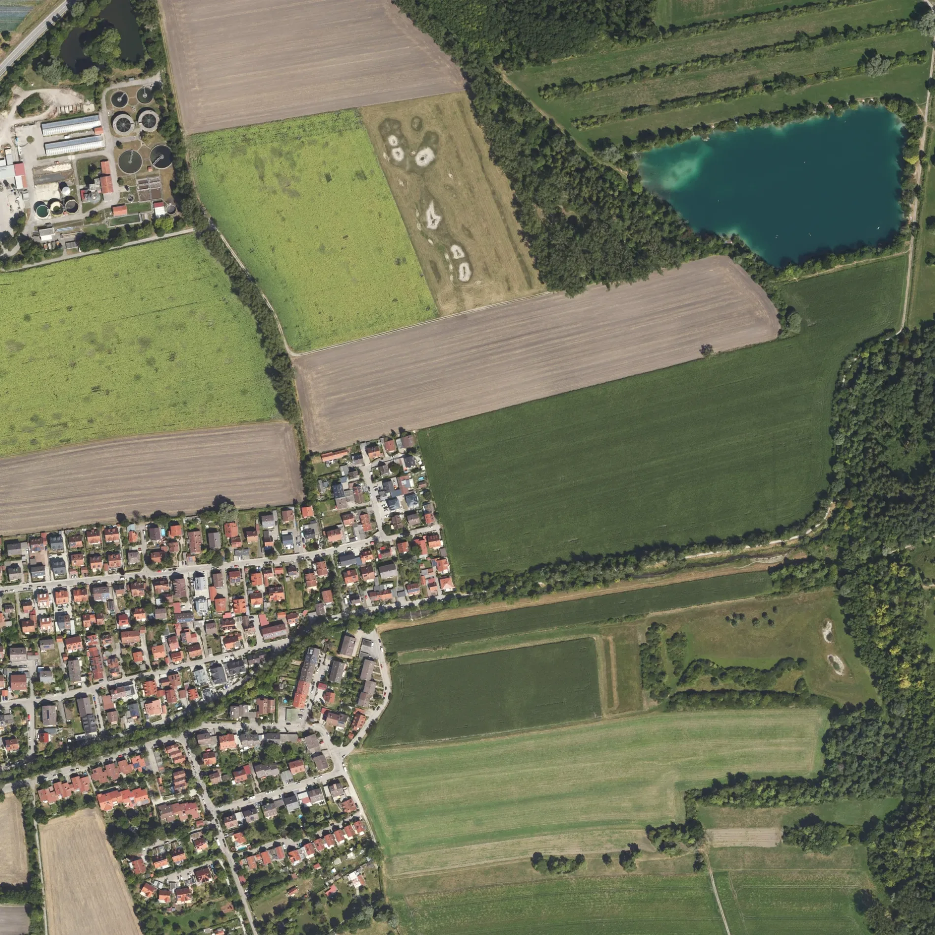
Die Peggy-March-Brücke in Karlsfeld ist ein Fußweg. Die nächste Bushaltestelle in der Nähe ist Wiesenweg (ca. 150 m entfernt).
- Straßentyp
- Fußweg
Bild
Restaurants
Bushaltestellen
Hofläden
Straßen in der Umgebung
Augustenfelder Weg100 m
WiesenwegWiesenweg
100 m
Schwarzhölzlstraße200 m
Am KrebsbachWiesenweg
200 m
Wildmoosstraße200 m
Kräuterweg250 m
Heuweg250 m
Am Anger250 m
Farnweg250 m
Moosweg300 m
Bachweg450 m
HochstraßeKarlsfeld, Sportpark, Rathausstraße, Bachweg, Karlsfeld, Herzlich willkommen in der Gemeinde Karlsfeld, Stadtplan Karlsfeld, Bei Niko, Ostenstraße, Shato am See, Schwarzhölzlstraße
500 m
Josef-Koller-WegDer neue Moosgraben, Schwarzhölzl
550 m
BajuwarenstraßeHort, Akazienstraße, Postbank, MBC Horvat - Metzgerei Bäckerei Catering, Feinkost-Mesch
650 m
Feldstraße700 m
Edelweißweg800 m
Enzianweg900 m
Fliederweg900 m
VeilchenwegAnnas Taverne
1000 m
Fasanenweg1,0 km
Am Spatzenwinkel1,1 km
Feldmochinger Weg1,1 km
Veilchenstraße1,2 km
Fliederstraße1,2 km
NobelstraßeFasanenstraße
1,2 km
Amselweg1,2 km
Am FinkenschlagKoh Samui
1,2 km
Drosselanger1,2 km
Waldlehrpfad1,3 km
Schleißheimer StraßeDAH_PPWiesböck_LS01, Kopernikusstraße, Abzweig, Hotel MODI, Rackls Backstube, Physio Aktiv, Dachau Kebab Haus, Dachau, Obergrashof, Hofladen Obergrashof, Ignaz-Taschner-Gymnasium, Mamma Rosa, Zum Bachwirt, Erasmus-Reismüller-Straße, Hotel Pension Augustenfeld, Sankt-Peter-Straße, Sparkasse, Sonnen-Apotheke, Edeka, Pflegefeen GmbH, Leder im Trend, Ahornapotheke, Dr. Neuhann, Theodor-Heuss-Straße, Fahrschule Dachau, Dr. Franz Bader, ZÄ Karin Bader, STEIRER, SectioAurea
1,4 km
Betriebsgebäude in der Umgebung
Brunnen 31,2 km
Brunnen 21,3 km
Brunnen 11,3 km
Bäche in der Umgebung
Krebsbach350 m
Moosgraben400 m
Saubach650 m
Kalterbach1,1 km
Obergrashofer Bach1,4 km
Gebäude in der Umgebung
Monopteros1,1 km
Werk 31,3 km
Gewässer in der Umgebung
Mückensee750 m
Baggersee Obergrashof III1000 m
Baggersee Obergrashof II1,2 km
Baggersee Obergrashof I1,3 km
Kindergärten in der Umgebung
Spatzennest1,1 km
Kindergarten Obergrashof1,5 km
Kleingartenanlagen in der Umgebung
Kleingartenverein Karlsfeld e.V.750 m
Strände in der Umgebung
Erholungsgebiet Karlsfelder See1,1 km
Transformatorenstationen in der Umgebung
Trafohäusl Karlsfeld - Augustenfelder Weg300 m
 ÖPNV-Stadtplan Karlsfeld Legende
 | Bahn | |
| Bus | |
| Straßenbahn |
 Fahrradstadtplan Karlsfeld Legende
 | Radweg | |
| Fahrradspur auf der Fahrbahn | |
| Radfahren auf der Busspur | |
| Fahrradstraße | |
| Für Radfahrer frei | |
| Für Radfahrer frei, guter Weg | |
| Radfahren verboten | |
| Kopfsteinpflaster |
| Fernradweg | (je nach Maßstab) | |
| Fernradweg |
 Fußgängerstadtplan Karlsfeld Legende
 | Pfad |
| Fernwanderweg | (je nach Maßstab) | |
| Fernwanderweg | ||
| Fußgänger verboten |