
Kastanienallee in Dischingen-Eglingen
Die Kastanienallee in Dischingen ist ein geschotterter Feldweg (Schotterweg). Sie verläuft in Ost-West-Richtung und endet in einer Sackgasse. Sie verbindet Demmingen und Eglingen. In der Umgebung befindet sich ein Unterstand. Diese Straße ist Teil von Fahrradroute „Albtrauf erleben 🔗".
- Straßentyp
- Feldweg
- Verlauf
- Ost-West
Bild
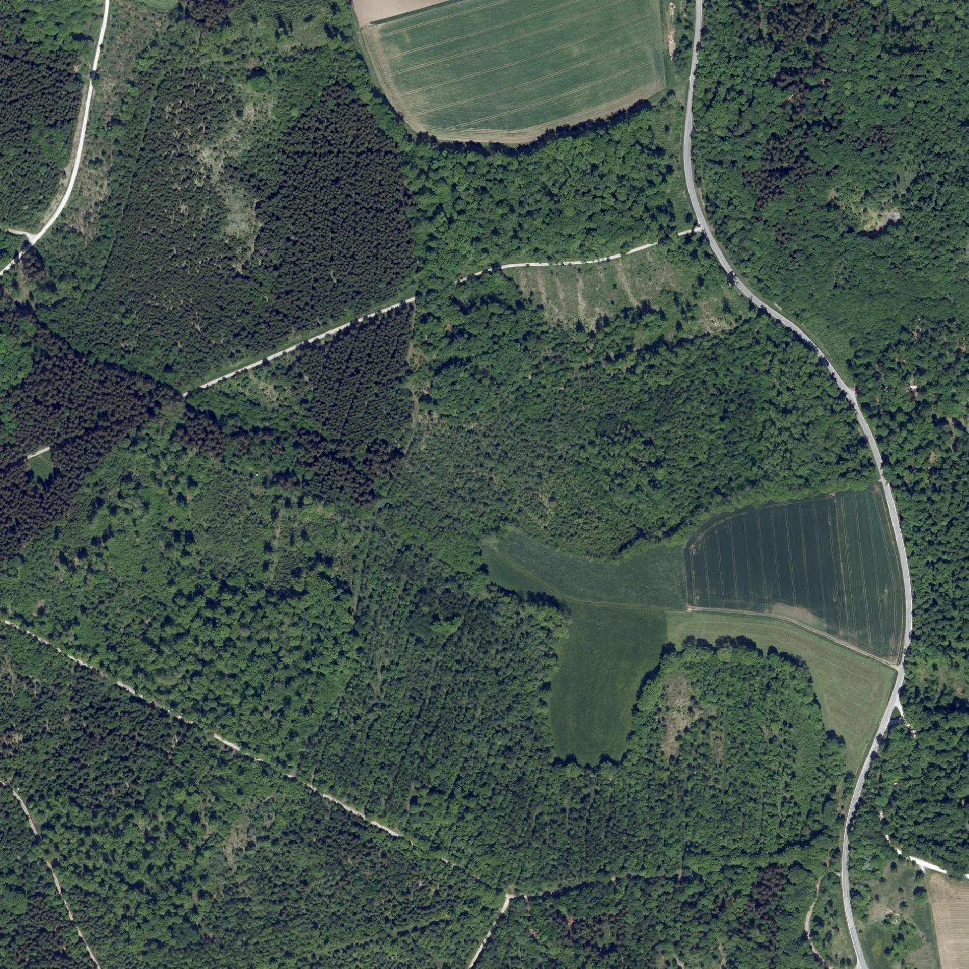
Unterstände
Straßen in der Umgebung
KastanienalleeDuttenstein
550 m
Althammer550 m
Am Strehler900 m
ZeughausEglingen, Keller, Keller
1,2 km
Buchberg1,3 km
Eglinger Keller1,3 km
Hahnenfeld1,4 km
Kälbermahd1,5 km
Schulweg1,5 km
Am Dörrberg1,5 km
Am KugelbergWagenhofen
1,5 km
Im Hülenfeld1,5 km
Am SträßleDemmingen Schule
1,5 km
Eglinger StraßeDemmingen, Rathaus, Rathaus, Freiwillige Feuerwehr Dischingen, Abt. Demmingen
1,6 km
Brunnenberg1,7 km
Murzengasse1,7 km
Am LindenbergDemmingen, Unterdorf, Unterdorf, Demmingen
1,7 km
Ziertheimer StraßeOrtschaftsverwaltung Demmingen
1,7 km
Wagenhofer Straße1,8 km
Kienlesweg1,8 km
Mödinger StraßeRathaus, Demmingen, Rathaus
1,8 km
Brühlweg1,9 km
Kasperlesgäßle2,0 km
Grasiger Weg2,0 km
Buchbergweg2,0 km
Kapellengäßle2,0 km
Zum Bogenbach2,0 km
Bruchstellen2,1 km
Reuteweg2,1 km
Hohlwegäcker2,1 km
Demminger StraßeEglingen, Demminger-/Kirchstr., Demminger-/Kirchstr.
2,2 km
Drosselweg2,2 km
Aspenweg2,2 km
Lerchenstraße2,3 km
Starenweg2,3 km
Rennenhaustraße2,3 km
Osterhofer Straße2,3 km
Im Brühl2,4 km
Kirchenweg2,4 km
In der Schrai2,4 km
Aquakulturflächen in der Umgebung
Poltener Seen2,0 km
Bäche in der Umgebung
Bogenbach1,8 km
Friedhöfe in der Umgebung
FriedWald Duttenstein100 m
Gotteshäuser in der Umgebung
Kapelle zum Großen Herrgott1,2 km
Kapelle St. Maria1,4 km
Pfarrkirche St. Wendelinus1,8 km
Gräben in der Umgebung
Aspichgraben1,7 km
Industriegebiete in der Umgebung
Grinbold-Jodag2,4 km
Schulen in der Umgebung
Egauschule2,0 km
Zoos in der Umgebung
Wildpark Duttenstein1,7 km
 ÖPNV-Stadtplan Eglingen Legende
| Bahn | |
| Bus | |
| Straßenbahn |
 Fahrradstadtplan Eglingen Legende
| Radweg | |
| Fahrradspur auf der Fahrbahn | |
| Radfahren auf der Busspur | |
| Fahrradstraße | |
| Für Radfahrer frei | |
| Für Radfahrer frei, guter Weg | |
| Radfahren verboten | |
| Kopfsteinpflaster |
| Fernradweg | (je nach Maßstab) | |
| Fernradweg |
 Fußgängerstadtplan Eglingen Legende
| Pfad |
| Fernwanderweg | (je nach Maßstab) | |
| Fernwanderweg | ||
| Fußgänger verboten |