
Buchberg in Dischingen-Eglingen
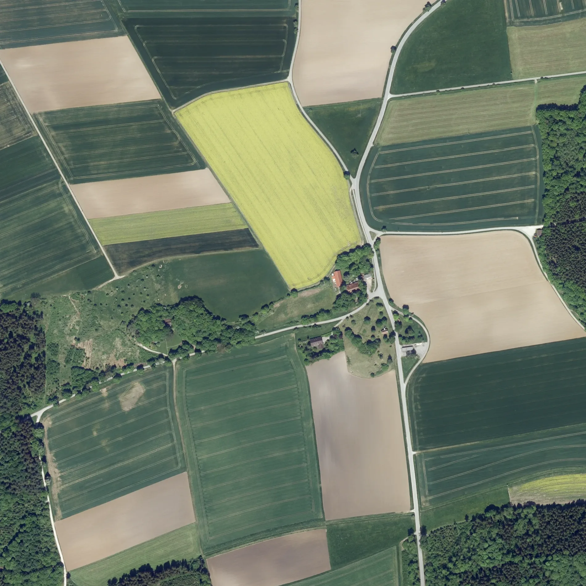
Der Buchberg in Dischingen ist ein Feldweg (befestigter Weg). Er verläuft in Ost-West-Richtung und endet an Zeughaus. Die nächste Bushaltestelle in der Nähe ist Keller (ca. 200 m entfernt). Diese Straße liegt an den Fahrradrouten Albtrauf erleben 🔗 und Große Härtsfeldrunde 🔗.
- Straßentyp
- Feldweg
- Verlauf
- Ost-West
Bild
Bushaltestellen
Straßen in der Umgebung
Eglinger Keller200 m
ZeughausEglingen, Keller, Keller
250 m
Buchbergweg750 m
Grasiger Weg950 m
Drosselweg1,2 km
Lerchenstraße1,2 km
Im Brühl1,2 km
Aspenweg1,2 km
Starenweg1,3 km
Osterhofer Straße1,3 km
Ochsenweg1,3 km
Schloß1,4 km
Forstgäßle1,4 km
Demminger StraßeEglingen, Demminger-/Kirchstr., Demminger-/Kirchstr.
1,4 km
KirchenstraßeEglingen
1,4 km
Kirchengäßle1,4 km
In der Schrai1,4 km
Seitenstraße1,4 km
BaumgasseDemminger-/Kirchstr.
1,4 km
FreibergstraßeDorfbrunnen, Eglingen, Dorfbrunnen
1,5 km
Alte Molke1,5 km
Alter Posthof1,5 km
Kirchenweg1,5 km
Reuteweg1,5 km
Katzengraben1,6 km
KastanienalleeDuttenstein
1,6 km
Schmiedgasse1,6 km
Amerdinger Straße1,6 km
Grafeneggstraße1,6 km
Rennenhaustraße1,6 km
Graf-Mangold-Straße1,6 km
Aufhauser Straße1,7 km
Am Krautgarten1,8 km
Althammer1,8 km
Raiffeisenstraße1,8 km
Buchbergstraße2,0 km
Mühlstraße2,1 km
Dunstelkinger HauptstraßeDorfplatz
2,2 km
Bayerweg2,2 km
Hirschweg2,2 km
Aquakulturflächen in der Umgebung
Poltener Seen1,6 km
Friedhöfe in der Umgebung
FriedWald Duttenstein1,2 km
Gebäude in der Umgebung
Turn- und Festhalle1,2 km
Gotteshäuser in der Umgebung
Kapelle zum Großen Herrgott200 m
Pfarrkirche St. Martinus1,4 km
Industriegebiete in der Umgebung
Grinbold-Jodag1,4 km
Kapellen in der Umgebung
St. Petrus und Paulus1,7 km
Rathäuser in der Umgebung
Ortschaftsverwaltung Eglingen1,5 km
Unbebaute Flächen in der Umgebung
Baugebiet "Brühl"1,4 km
 ÖPNV-Stadtplan Eglingen Legende
 | Bahn | |
| Bus | |
| Straßenbahn |
 Fahrradstadtplan Eglingen Legende
 | Radweg | |
| Fahrradspur auf der Fahrbahn | |
| Radfahren auf der Busspur | |
| Fahrradstraße | |
| Für Radfahrer frei | |
| Für Radfahrer frei, guter Weg | |
| Radfahren verboten | |
| Kopfsteinpflaster |
| Fernradweg | (je nach Maßstab) | |
| Fernradweg |
 Fußgängerstadtplan Eglingen Legende
 | Pfad |
| Fernwanderweg | (je nach Maßstab) | |
| Fernwanderweg | ||
| Fußgänger verboten |