
Mittelholzweg in Triebel Posseck
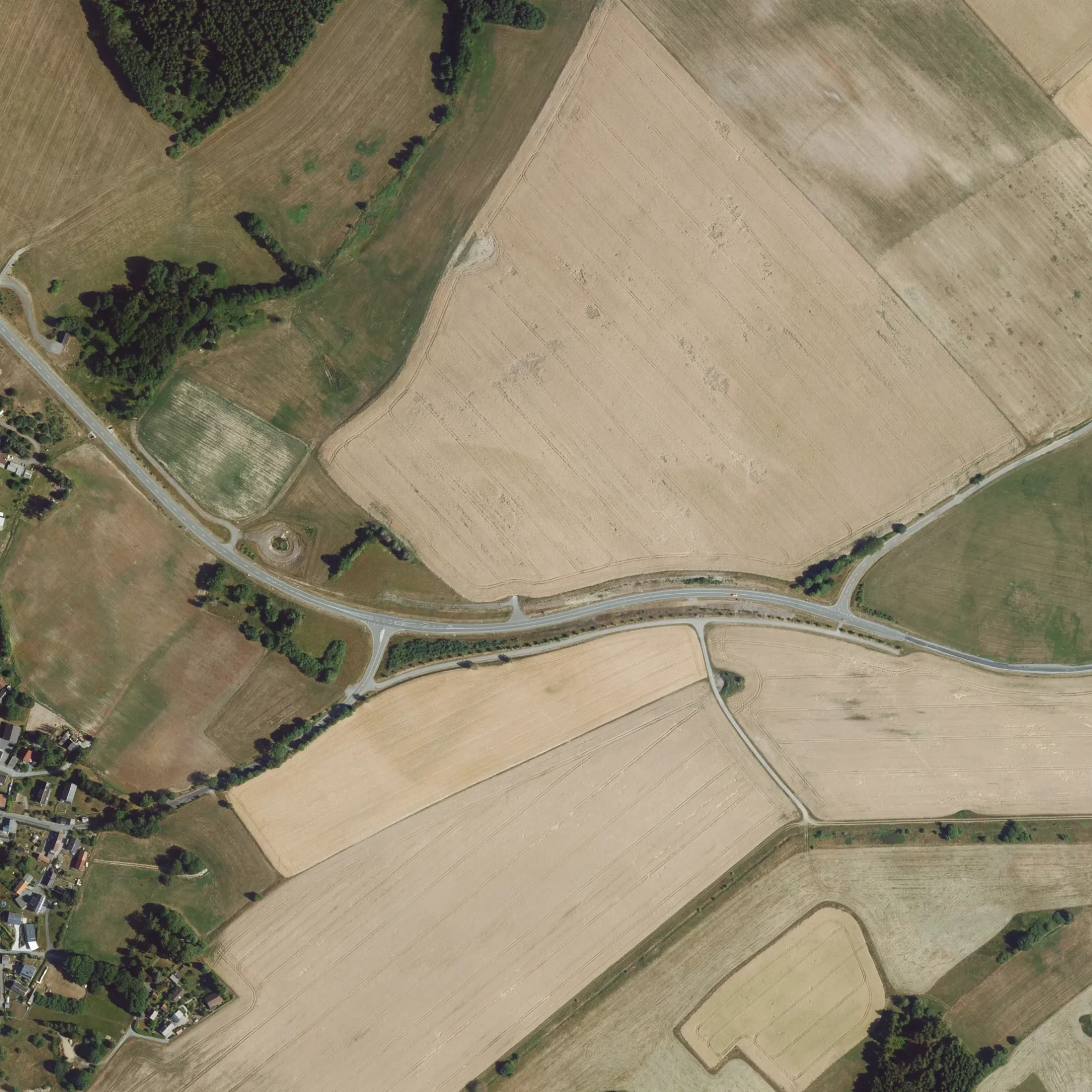
Der Mittelholzweg in Posseck in Triebel ist ein Feldweg (Schotterweg) und verläuft in Südost-Nordwest-Richtung.
- Straßentyp
- Feldweg
- Verlauf
- Südost-Nordwest
Bild
Touristeninformationen
Straßen in der Umgebung
Mittelholzweg500 m
Querweg650 m
Ziegelgasse700 m
Gartenstraße750 m
Ringweg750 m
Am Teich800 m
An der Technik800 m
Alter Hof850 m
Am Dorfplatz900 m
Grünpöhl900 m
Hauptstraße950 m
Am Kulturhaus950 m
Poststraße1000 m
Nentschau1,2 km
Höllensteg1,2 km
Oelsnitzer Straße1,2 km
Birkigter Weg1,4 km
Kolonnenweg1,5 km
Unterwieden1,5 km
Wiesenweg1,5 km
Schwarzer Teichweg1,6 km
Mittelhammer1,6 km
Hammerleithener Weg1,8 km
Im Winkel1,8 km
Possecker Straße1,9 km
Haselweg2,0 km
Oberzech2,1 km
Kugelreuther Straße2,2 km
Sachsgrüner Straße2,4 km
Am Speicher2,4 km
Am Berg2,7 km
Bývalá německá (DDR) Železná opona2,8 km
Prex2,9 km
Steinmauerweg3,1 km
Abläufe in der Umgebung
Erlbach1,8 km
Bäche in der Umgebung
Regnitz1,5 km
Mühlbach1,7 km
Lesní potok / Erlbach1,9 km
Mlýnský potok2,2 km
Rokytnice / Regnitz2,3 km
Fuhrbach2,6 km
Brodivý potok2,7 km
Schafbach2,8 km
Feuerwachen in der Umgebung
Freiwillige Feuerwehr Possek650 m
Freiwillige Feuerwehr Nentschau1,9 km
Gebäude in der Umgebung
Agrargenossenschaft Bobenneukirchen800 m
Haus Elfriede1,7 km
Gewässer in der Umgebung
Schwarzer Teich2,1 km
Gotteshäuser in der Umgebung
St. Jakobus850 m
Unterstände in der Umgebung
Nentschau Bäckerei Bayreuther2,0 km
ÖPNV-Stadtplan Posseck Legende
| Bahn | |
| Bus | |
| Straßenbahn |
Fahrradstadtplan Posseck Legende
| Radweg | |
| Fahrradspur auf der Fahrbahn | |
| Radfahren auf der Busspur | |
| Fahrradstraße | |
| Für Radfahrer frei | |
| Für Radfahrer frei, guter Weg | |
| Radfahren verboten | |
| Kopfsteinpflaster |
| Fernradweg | (je nach Maßstab) | |
| Fernradweg |
Fußgängerstadtplan Posseck Legende
| Pfad |
| Fernwanderweg | (je nach Maßstab) | |
| Fernwanderweg | ||
| Fußgänger verboten |