
Kolonnenweg in Eichigt
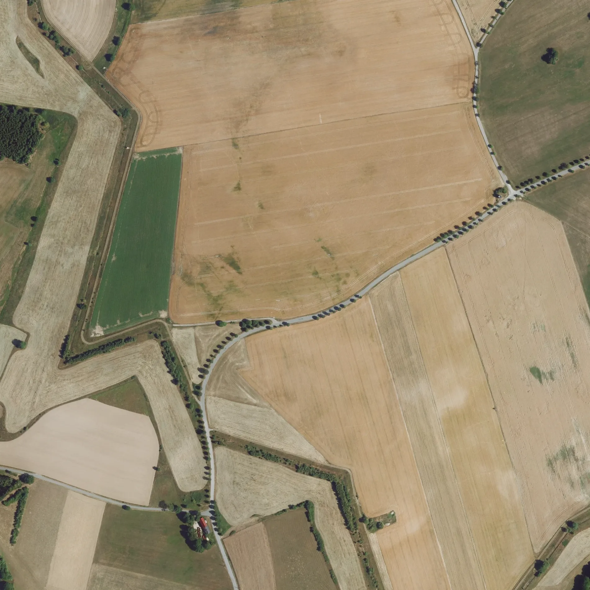
Der Kolonnenweg in Eichigt ist ein betonierter Feldweg (befestigter Weg). Er hat eine Fahrbahnbreite von 2 m. Er verläuft in Südost-Nordwest-Richtung von der Kugelreuther Straße kommend. In der Umgebung befindet sich eine Touristeninformation. Die nächste Haltestelle in der Nähe ist Mittelhammer Bushaltestelle (ca. 450 m entfernt). Diese Straße liegt an den Wanderwegen Jakobsweg Vogtland, (Etappe 4: Oelsnitz-Hof) und Europäischer Fernwanderweg E3, Sachsen (West).
- Straßentyp
- Feldweg
- Verlauf
- Südost-Nordwest
Bild
Touristeninformationen
Straßen in der Umgebung
UnterwiedenWieden
250 m
Kugelreuther StraßeKugelreuth, Tiefenbrunn, Ortsteil Kugelreuth
350 m
MittelhammerMittelhammer Bushaltestelle, Mittelhammer, Bekanntmachnungen, Pinwand
450 m
OberzechOberzech Haltestelle, Oberzech
950 m
Hammerleithener WegEhemalige Ortslage Hammerleithen, Großmuscheln, Tiefenbrunn, Ortsteil Kugelreuth
1,2 km
NentschauUnterzech Haltestelle, Zech
1,3 km
Birkigter Weg1,3 km
Bývalá německá (DDR) Železná opona1,3 km
MittelholzwegWanderwege der Region, Wegweiser
1,5 km
Am BergDer goldene Scheckenfalter, Pabstleithen
1,5 km
Schwarzer TeichwegEinheimische Singvögel
1,7 km
SchulwegTiefenbrunn, Gemeinde
1,8 km
Wiesenweg1,8 km
Pabstleithener StraßeTiefenbrunn, Gemeinde, Tiefenbrunn, Ortsteil Pabstleithen
1,9 km
Ziegelgasse1,9 km
Querweg1,9 km
HauptstraßeGrünes Band, Wanderwege der Region, Sparkasse Oelsnitz, Blumenboutique "Orchidee", Triebel, Warte, Posseck, Triebel
1,9 km
HaselwegSachsenforst, An der Kastanie 2017
1,9 km
Ringweg1,9 km
PrexPrex, Prex Strommast 3, Prex Haltestelle, Oberprex, Oberprex Haltestelle, Prex 1
2,0 km
Tiefenbrunner StraßeTiefenbrunn, Ortseingang
2,0 km
Alter Hof2,1 km
Am Teich2,1 km
Am DorfplatzPosseck, Warte, Bekanntmachnungen
2,1 km
Am Kulturhaus2,1 km
Possecker StraßeBirkigt, Tiefenbrunn, Birkigt, Rastplatz am weißen Stein, Tiefenbrunn
2,2 km
An der Technik2,2 km
Gartenstraße2,2 km
Grünpöhl2,2 km
Höllensteg2,3 km
Poststraße2,3 km
Obertriebeler Straße2,3 km
Ebmather Weg2,3 km
Mittelbergweg2,4 km
Abläufe in der Umgebung
Erlbach650 m
Bäche in der Umgebung
Lesní potok450 m
Regnitz550 m
Mlýnský Potok750 m
Rokytnice800 m
Mühlbach1000 m
Brodivý potok1,2 km
Feuerwachen in der Umgebung
Freiwillige Feuerwehr Tiefenbrunn1,9 km
Freiwillige Feuerwehr Possek2,0 km
Freiwillige Feuerwehr Nentschau2,4 km
Gebäude in der Umgebung
Haus Elfriede950 m
Agrargenossenschaft Bobenneukirchen2,2 km
Wasserwirtschaftsamt Hof2,6 km
Geschäftsgebäude in der Umgebung
Flussperlmuschelaufzuchtstation2,6 km
Gewässer in der Umgebung
Schwarzer Teich2,5 km
 ÖPNV-Stadtplan Eichigt Legende
 | Bahn | |
| Bus | |
| Straßenbahn |
 Fahrradstadtplan Eichigt Legende
 | Radweg | |
| Fahrradspur auf der Fahrbahn | |
| Radfahren auf der Busspur | |
| Fahrradstraße | |
| Für Radfahrer frei | |
| Für Radfahrer frei, guter Weg | |
| Radfahren verboten | |
| Kopfsteinpflaster |
| Fernradweg | (je nach Maßstab) | |
| Fernradweg |
 Fußgängerstadtplan Eichigt Legende
 | Pfad |
| Fernwanderweg | (je nach Maßstab) | |
| Fernwanderweg | ||
| Fußgänger verboten |