
Untere Hauptstraße in Claußnitz Diethensdorf
Die Untere Hauptstraße in Diethensdorf in Claußnitz ist eine einspurige, asphaltierte Wohnstraße (30 km/h). Sie hat eine Fahrbahnbreite von 4,5 m und verläuft in Nordost-Südwest-Richtung. Eine Untere Hauptstraße gibt es auch in Lichtenau. Diese Straße liegt an den Wanderwegen Via Porphyria Etappe 7, Via Porphyria Gesamtstrecke, Rundweg um Burgstädt und Chemnitztalweg Wittgensdorf – Burgstädt.
- Straßentyp
- Wohnstraße
- Fahrspuren
- 1
- Verlauf
- Nordost-Südwest
Bild
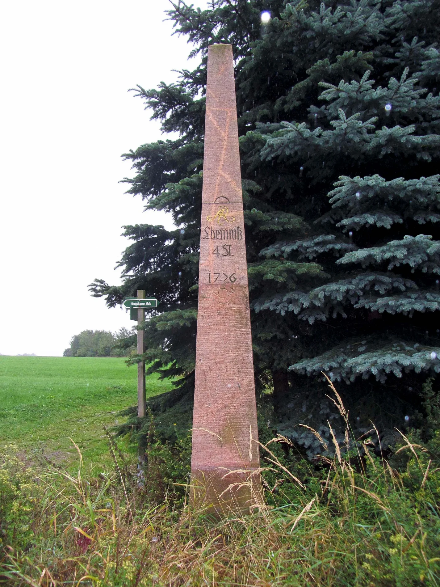
Aussichtspunkte
Bushaltestellen
- Buslinien 626
Stationen
- Buslinien 626
Straßen in der Umgebung
Kirchsteig100 m
Rathausstraße150 m
Eichenweg300 m
Industriestraße400 m
Birkenweg450 m
Rochlitzer Straße500 m
Kastanienweg500 m
Lindenweg550 m
Waldweg700 m
Lugweg1,1 km
Am Wald1,1 km
Chemnitztalradweg1,5 km
Chemnitztalstraße1,6 km
Diethensdorfer Waldwanderweg1,6 km
Siedlungsweg1,9 km
Landstraße2,0 km
Zur Jahnhöhe2,1 km
Querweg2,1 km
Kirschweg2,1 km
Schweizerthaler Straße2,2 km
Untere Dorfstraße2,3 km
Am Lehrpfad2,3 km
Autowerkstätten in der Umgebung
KFZ Wittig450 m
Biogasanlagen in der Umgebung
Biogasanlage1,5 km
Deponien in der Umgebung
Deponie Markersdorf (außer Betrieb)1,5 km
Eisenbahn in der Umgebung
Lokschuppen2,2 km
Eisenbahnstrecken in der Umgebung
Chemnitztalbahn1,4 km
Feuerwachen in der Umgebung
Freiwillige Feuerwehr Diethensdorf150 m
Fitnessgeräte in der Umgebung
Outdoor Fitnesspark2,4 km
Gebäude in der Umgebung
Altes Rathaus100 m
arctech GmbH100 m
Gemeindeverwaltung150 m
Knappe250 m
Metallbau Braun350 m
ehem. Bäckerei Liebold450 m
Limex500 m
SAKRET500 m
Silotech1,2 km
Wasserhaus2,3 km
Gewässer in der Umgebung
Fischzuchtteich1,0 km
Industriegebiete in der Umgebung
Hochbehälter Diethensdorf800 m
Industriegebäude in der Umgebung
Raiffeisengebäude2,3 km
Wirtschaftsgebäude2,3 km
Güterverwaltung2,3 km
Gleiswaage2,4 km
Sportplätze in der Umgebung
Jahnhöhe1,8 km
Steinbrüche in der Umgebung
Steinbruch Diethensdorf1,4 km
Wälder in der Umgebung
Räuberhöhle1,6 km
Aufgegebene Eisenbahnstrecken in der Umgebung
Tunnel Mohsdorf1,4 km
ÖPNV-Stadtplan Diethensdorf Legende
| Bahn | |
| Bus | |
| Straßenbahn |
Fahrradstadtplan Diethensdorf Legende
| Radweg | |
| Fahrradspur auf der Fahrbahn | |
| Radfahren auf der Busspur | |
| Fahrradstraße | |
| Für Radfahrer frei | |
| Für Radfahrer frei, guter Weg | |
| Radfahren verboten | |
| Kopfsteinpflaster |
| Fernradweg | (je nach Maßstab) | |
| Fernradweg |
Fußgängerstadtplan Diethensdorf Legende
| Pfad |
| Fernwanderweg | (je nach Maßstab) | |
| Fernwanderweg | ||
| Fußgänger verboten |