
Aprather Weg in Wülfrath
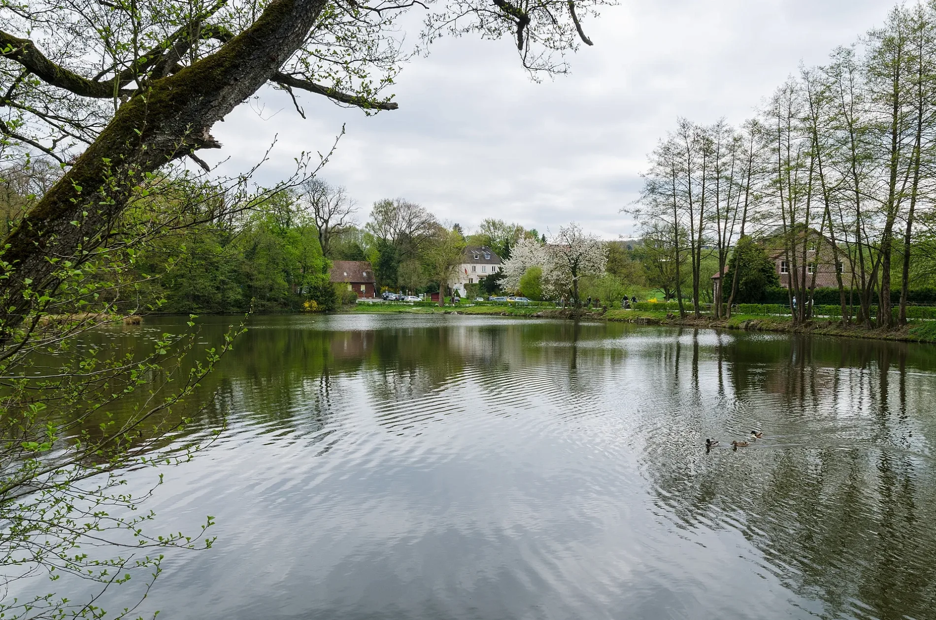
Der Aprather Weg in Wülfrath ist eine asphaltierte Kreisstraße. Er hat keine Gehwege. Er verläuft in Südost-Nordwest-Richtung von Aprath kommend. Die nächste Bushaltestelle in der Nähe ist Aprath Klinik (ca. 350 m entfernt).
- Straßentyp
- Kreisstraße
- Verlauf
- Südost-Nordwest
Bild
Fahrradparkplätze
Bahnsteige
Tankstellen
Sozialeinrichtungen
Touristeninformationen
Paketstationen
Straßen in der Umgebung
Wülfrath-Aprath BahnhofWülfrath-Aprath, Fahrgastinformation
400 m
Klinik Aprath400 m
Aprath KlinikAprath Klinik
400 m
Schickenberg450 m
Voisberger WegWülfrath-Aprath Bahnhof, B&R, Wülfrath-Aprath
450 m
Düsseler FeldKusenheide/östlich Holzer Bach
500 m
Zur Kohleiche500 m
Aprather Weg550 m
Wiedener StraßeKirchenfelder Weg, Niederradenberg
550 m
Steinberg600 m
Am Britten600 m
AprathAprath Klinik
650 m
Unterdüsseler Weg650 m
Am Ringofen800 m
Niederradenberg800 m
KoxhofStar, Koxhof
950 m
Frankholzhäuschen950 m
Radenberg1000 m
Steinberger Weg1,0 km
Oberdüsseler WegOberdüssel, Bergische Diakonie, Autowäsche, Koxhof/Oberdüsseler Weg, Packstation 157, Oberdüssel, Schule, ADFC Infobox
1,0 km
Jammerhörnchen1,0 km
An der Piep1,1 km
Zum Großen Busch1,1 km
Düsseler Höhe1,2 km
Kirchenfelder WegSchulbus, Kirchenfelder Weg
1,2 km
Schopstreck1,2 km
Unterdüssel1,2 km
Am Kirchenfeld1,2 km
Bahnsteige in der Umgebung
Wülfrath-Aprath350 m
Bauernhöfe in der Umgebung
Schmalt750 m
Großhöfchen950 m
Kleinhöfchen1000 m
Gut Voisberg1,0 km
Bäche in der Umgebung
Brucher Bach450 m
Eigenbach800 m
Kohleichenbach800 m
Kirchenfelder Bach900 m
Steinbergsiefen900 m
Düssel900 m
Oberdüsseler Bach1,0 km
Steinberger Bach1,0 km
Aprather Bach1,1 km
Gebäude in der Umgebung
Schloß Aprath300 m
Gut Steinberg600 m
Gewässer in der Umgebung
Aprather Mühlenteich400 m
Häuser in der Umgebung
Dreden800 m
AaG GmbH1000 m
Voisberg1,1 km
Kusenheide1,1 km
Sehenswürdigkeiten in der Umgebung
Aprather Mühle450 m
 ÖPNV-Stadtplan Wülfrath Legende
| Bahn | |
| Bus | |
| Straßenbahn |
 Fahrradstadtplan Wülfrath Legende
| Radweg | |
| Fahrradspur auf der Fahrbahn | |
| Radfahren auf der Busspur | |
| Fahrradstraße | |
| Für Radfahrer frei | |
| Für Radfahrer frei, guter Weg | |
| Radfahren verboten | |
| Kopfsteinpflaster |
| Fernradweg | (je nach Maßstab) | |
| Fernradweg |
 Fußgängerstadtplan Wülfrath Legende
| Pfad |
| Fernwanderweg | (je nach Maßstab) | |
| Fernwanderweg | ||
| Fußgänger verboten |