
Traweg in Schweindorf
Der Traweg in Schweindorf ist eine Wohnstraße. Die nächste Haltestelle in der Nähe ist Schweindorf (ca. 450 m entfernt).
- Straßentyp
- Wohnstraße
Bild
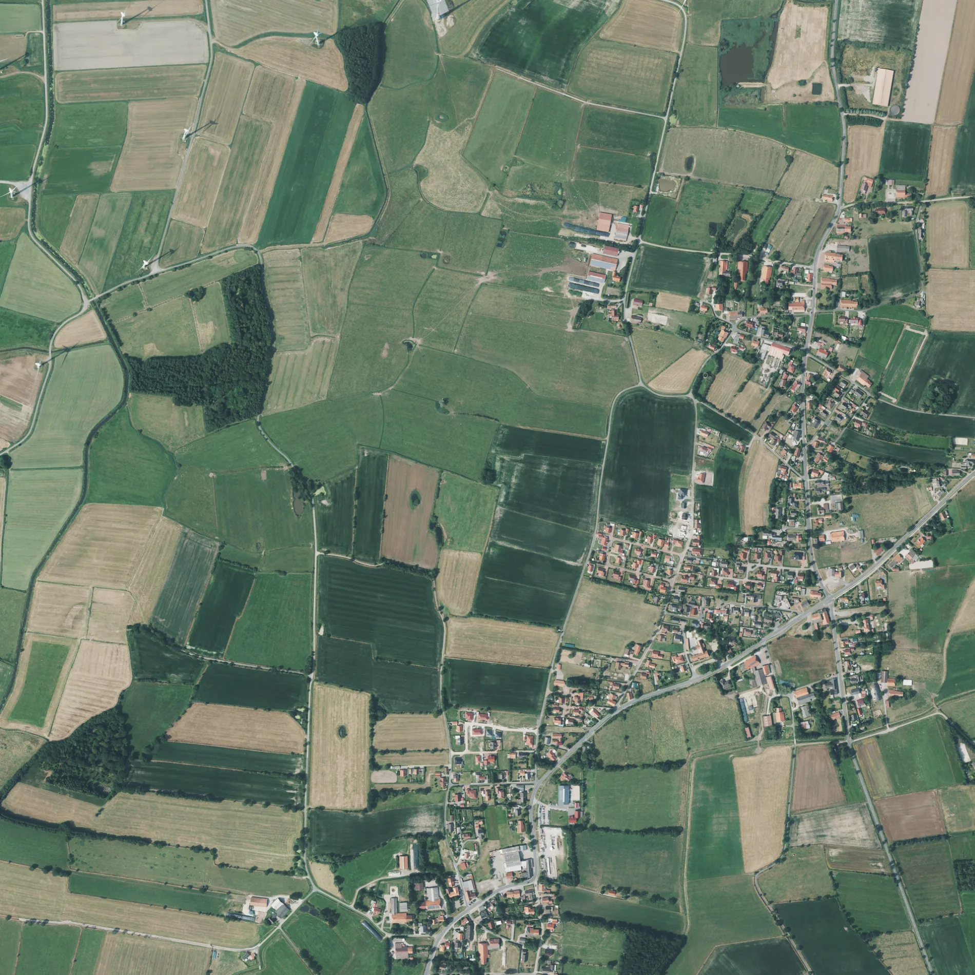
Straßen in der Umgebung
Ant Breetland50 m
Hoher Weg200 m
Esenser StraßeSchweindorf
200 m
Fliederweg300 m
Ant BlinkSchweindorf
400 m
Süderweg450 m
Mühlenblick450 m
Westeries500 m
Hermann-Heeren-WegGrundschule
550 m
Mühlenstrich550 m
Ahornweg600 m
Rosenweg600 m
Taubenweg600 m
Neuweg600 m
Mühlenweg650 m
Ant Holt700 m
Siedlerweg750 m
Blumenwweg750 m
Dörpstede750 m
Stockackerweg800 m
Hartjesweg800 m
Neuer Weg850 m
Roggenstedter Weg900 m
Narper StraßeTranendeweg, Ziegelei
950 m
Utarper Straße1000 m
Nordenlandsweg1000 m
Iskenweg1,0 km
Börgweg1,0 km
Drosselweg1,0 km
DorfstraßeUtarp
1,1 km
Leegsstraße1,1 km
Grüner Weg1,1 km
An't Vogskampen1,2 km
Bonisweg1,2 km
Westerhammerweg1,2 km
Hammerweg1,2 km
Feldkampen1,2 km
Ossendrift65
1,2 km
Werdenweg1,3 km
VogskampenFerienhof Ant Hochtiedswald
1,3 km
Osterhammer Weg1,4 km
Sielhammer Tiefweg1,5 km
Laadeweg1,5 km
Bäche in der Umgebung
Sielhammer Tief1,1 km
Feuerwachen in der Umgebung
Freiwillige Feuerwehr Schweindorf250 m
Gebäude in der Umgebung
Tischlerei Gebr.Schuster1,2 km
Geschäftsgebäude in der Umgebung
vicasso RC-Modellsport350 m
Schulgebäude in der Umgebung
Grundschule Utarp-Ochtersum Standort Utarp600 m
Sozialeinrichtungen in der Umgebung
Seniorenresidenz Vogskampen1,2 km
 ÖPNV-Stadtplan Schweindorf Legende
 | Bahn | |
| Bus | |
| Straßenbahn |
 Fahrradstadtplan Schweindorf Legende
 | Radweg | |
| Fahrradspur auf der Fahrbahn | |
| Radfahren auf der Busspur | |
| Fahrradstraße | |
| Für Radfahrer frei | |
| Für Radfahrer frei, guter Weg | |
| Radfahren verboten | |
| Kopfsteinpflaster |
| Fernradweg | (je nach Maßstab) | |
| Fernradweg |
 Fußgängerstadtplan Schweindorf Legende
 | Pfad |
| Fernwanderweg | (je nach Maßstab) | |
| Fernwanderweg | ||
| Fußgänger verboten |