
Marxer Buschweg in Friedeburg Marx
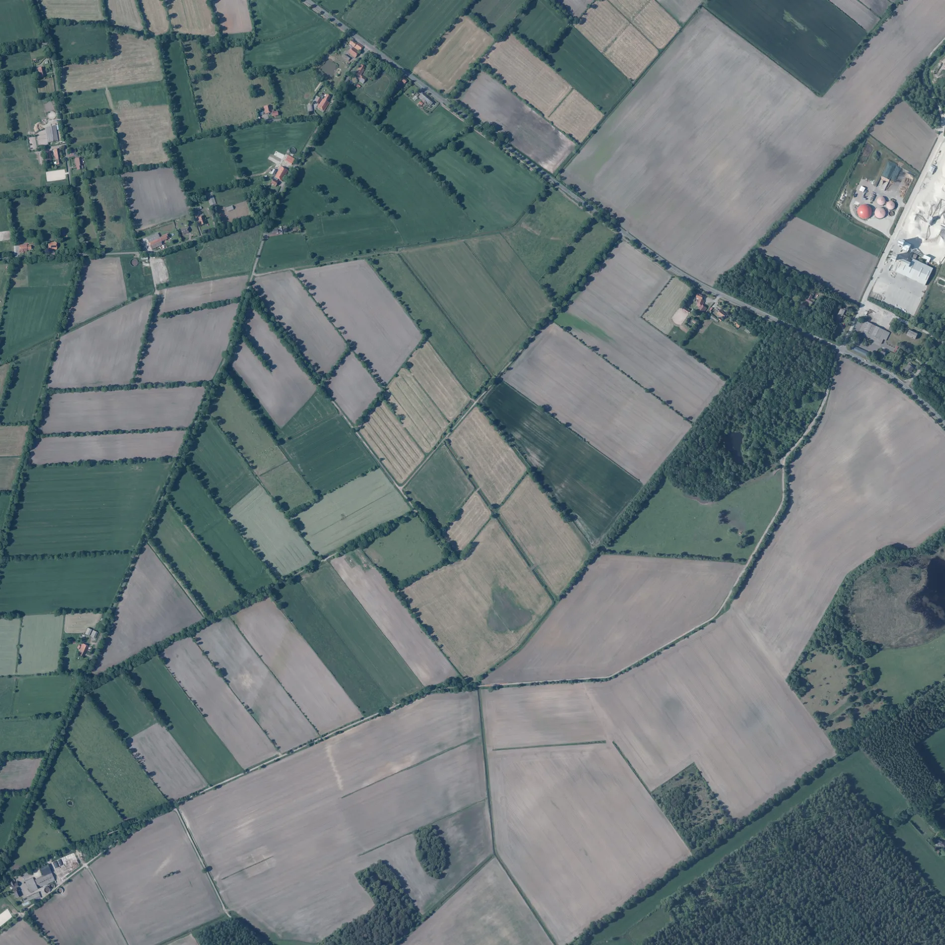
Der Marxer Buschweg in Marx in Friedeburg ist ein Feldweg (loser Untergrund).
- Straßentyp
- Feldweg
Bild
Touristeninformationen
Bushaltestellen
Straßen in der Umgebung
Randweg500 m
Mühlenbergsweg650 m
Hungerbrooksweg700 m
Heidendom15
800 m
Heidhörn1,0 km
HeidkampKlaverhörn
1,0 km
Mittelweg1,1 km
Ginsterweg1,2 km
Mühlenberg1,3 km
Am Flugplatz1,4 km
Heidweg1,4 km
Meerweg1,4 km
Hagelskamp1,7 km
Moorberg1,7 km
Klaverhörn1,8 km
Kleeverblatt1,8 km
Hunter WegSteinsetzung Hunt
1,8 km
Flakstellungsweg1,8 km
Achter Ahlers1,9 km
Westergastweg2,0 km
Hoheluchter Weg2,0 km
Hohelucht2,0 km
Dargweg2,1 km
Tüschen Fennen2,1 km
Zeteler WegRogge
2,1 km
Poststraße2,2 km
Streeker StraßeKindergarten, Trafo, Krull
2,2 km
Marxer Schulweg2,3 km
Bentstreeker StraßeRogge, Heidekrug
2,3 km
Volkowenweg2,4 km
Heikenwall2,4 km
Hunkentun2,5 km
Westerkamp2,5 km
Hopelser StraßeMelkhuus Friedeburg Hopels
2,5 km
Papenstraße2,6 km
Bentstreeker Grenzweg2,6 km
Lübbenpotter Weg2,7 km
Betriebsgebäude in der Umgebung
Bohlen GmbH Viehhandlung2,1 km
Feuerwachen in der Umgebung
Ortsfeuerwehr Marx2,5 km
Geschäftsgebäude in der Umgebung
Matthias Schlegel - Meister im Installateur- und Heizungsbauerhandwerk2,5 km
Gräben in der Umgebung
Schiffsbalje (Oberlauf Bitze)750 m
Hagelskamper Graben1,6 km
Friedeburger Graben1,7 km
Hotels in der Umgebung
Schullandheim "Voslapp"1,7 km
Industriegebäude in der Umgebung
M+D Flugzeugbau2,0 km
Kindergärten in der Umgebung
Kindergarten "Arche Noah"2,2 km
Nachtclubs in der Umgebung
Tunis Discothek2,5 km
Schulen in der Umgebung
Grundschule Friedeburg - Standort Marx2,3 km
Unterstände in der Umgebung
Flakhütte Bürgerverein Bentstreek2,0 km
 ÖPNV-Stadtplan Marx Legende
 | Bahn | |
| Bus | |
| Straßenbahn |
 Fahrradstadtplan Marx Legende
 | Radweg | |
| Fahrradspur auf der Fahrbahn | |
| Radfahren auf der Busspur | |
| Fahrradstraße | |
| Für Radfahrer frei | |
| Für Radfahrer frei, guter Weg | |
| Radfahren verboten | |
| Kopfsteinpflaster |
| Fernradweg | (je nach Maßstab) | |
| Fernradweg |
 Fußgängerstadtplan Marx Legende
 | Pfad |
| Fernwanderweg | (je nach Maßstab) | |
| Fernwanderweg | ||
| Fußgänger verboten |