
Büsensieden in Friedeburg Marx
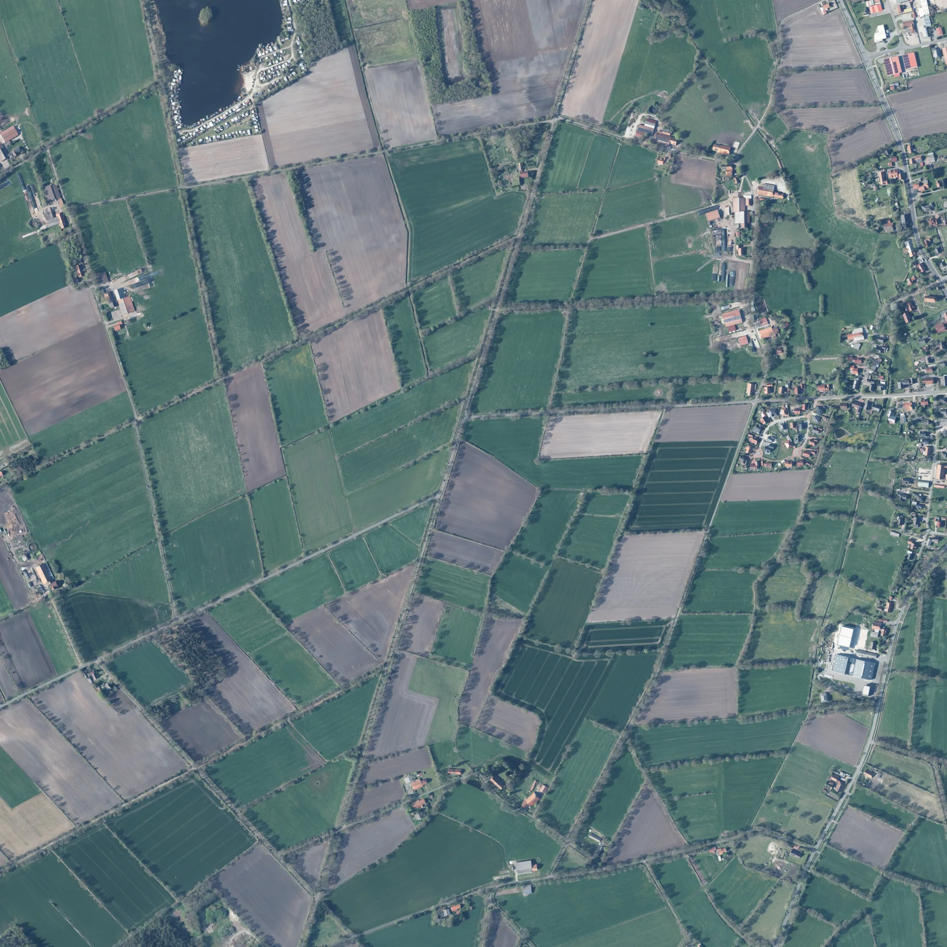
Büsensieden in Marx in Friedeburg ist ein Feldweg.
- Straßentyp
- Feldweg
Bild
Touristeninformationen
Restaurants
Bushaltestellen
Straßen in der Umgebung
Marxer Feldweg200 m
Weißes Moor750 m
Hoheluchter Weg800 m
Hohelucht850 m
Westergastweg950 m
Polweg1,0 km
Dreibrückenweg1,1 km
Dobben1,2 km
Lilienhof1,2 km
Marienfelder Straße1,3 km
Kleeverblatt1,3 km
Meerweg1,4 km
Heidweg1,4 km
Moorberg1,4 km
Schafsweg1,4 km
Marxer Hopelser Weg1,4 km
Heerweg1,5 km
Ginsterweg1,5 km
Hunkentun1,6 km
Westerkamp1,6 km
Hopelser Weg1,7 km
Mittelweg1,7 km
Schwarzer BergRastplatz "Schwarzer Berg"
1,7 km
Klaverhörn1,7 km
Bunkenburg1,7 km
Hopelser StraßeMelkhuus Friedeburg Hopels
1,8 km
Tüschen Fennen1,8 km
Heidendom15
1,8 km
Marxer Schulweg1,8 km
Heidhörn1,8 km
Streeker StraßeKindergarten, Trafo, Krull
1,9 km
Poststraße1,9 km
Karkweg1,9 km
Papenstraße2,0 km
Hunter WegSteinsetzung Hunt
2,0 km
Mühlenberg2,1 km
Bauernhöfe in der Umgebung
Onken Eier und Geflügel1,0 km
Feuerwachen in der Umgebung
Ortsfeuerwehr Marx1,9 km
Freizeitgelände in der Umgebung
Campingplatz Marienfeld1,4 km
Geschäftsgebäude in der Umgebung
Matthias Schlegel - Meister im Installateur- und Heizungsbauerhandwerk1,9 km
Gräben in der Umgebung
Friedeburger Graben1,2 km
Marienfelder Graben1,5 km
Schiffsbalje (Oberlauf Bitze)1,9 km
Friedeburger Tief2,2 km
Industriegebäude in der Umgebung
M+D Flugzeugbau1,6 km
Kindergärten in der Umgebung
Kindergarten "Arche Noah"1,9 km
Ställe in der Umgebung
Hühnermobil1,1 km
Wälder in der Umgebung
Carl-Georgs Forst1,8 km
Öffentliche Gebäude in der Umgebung
Evangelisches Pfarramt Marx2,0 km
 ÖPNV-Stadtplan Marx Legende
 | Bahn | |
| Bus | |
| Straßenbahn |
 Fahrradstadtplan Marx Legende
 | Radweg | |
| Fahrradspur auf der Fahrbahn | |
| Radfahren auf der Busspur | |
| Fahrradstraße | |
| Für Radfahrer frei | |
| Für Radfahrer frei, guter Weg | |
| Radfahren verboten | |
| Kopfsteinpflaster |
| Fernradweg | (je nach Maßstab) | |
| Fernradweg |
 Fußgängerstadtplan Marx Legende
 | Pfad |
| Fernwanderweg | (je nach Maßstab) | |
| Fernwanderweg | ||
| Fußgänger verboten |