
Achterbarger Weg in Friedeburg Horsten
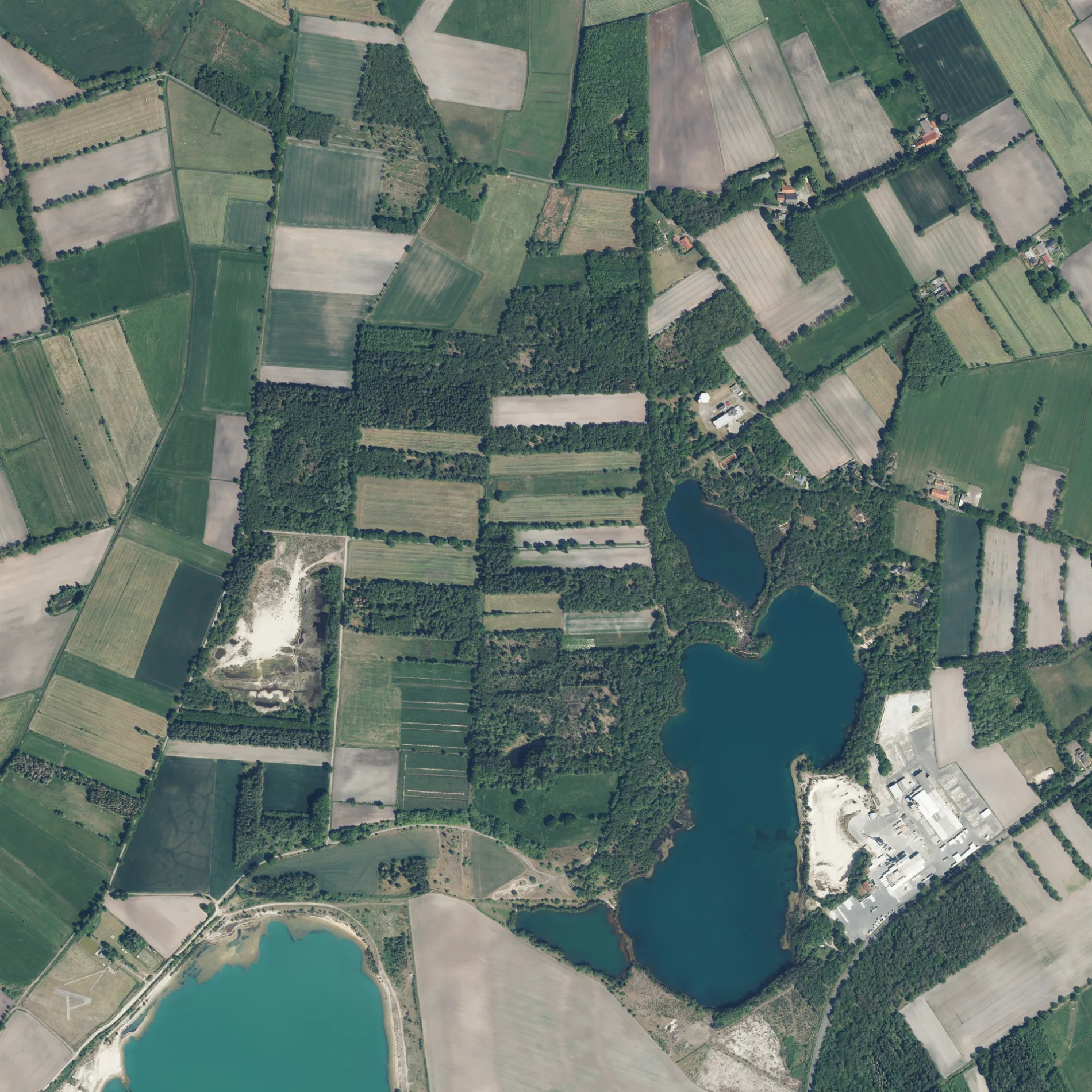
Der Achterbarger Weg in Horsten in Friedeburg ist ein Feldweg (Feldweg).
- Straßentyp
- Feldweg
Bild
Kunstwerke
Bushaltestellen
Tierarztpraxen
Feuerwachen
Sehenswürdigkeiten
Straßen in der Umgebung
An der Bitze500 m
Achterbarger Weg 1850 m
Horster Grenzweg850 m
Zweiberger Weg1,1 km
Am Flugplatz1,2 km
Marxer HauptstraßeGrundschule, Marx
1,3 km
HohemoorBüterweg, Hohemoor, Parkplatz Hohemoor, Segelflugplatz, Simone Brüggermann
1,3 km
Achterbarger Weg 21,3 km
Hagelskamp1,3 km
Dargweg1,3 km
Randweg1,5 km
Schepkerweg1,5 km
Heikenwall1,6 km
GrenzstraßeSchullandheim
1,6 km
Volkowenweg1,6 km
Achter Ahlers1,6 km
BörgerhörnNaturerlebnis Südliches Friesland - Wallhecken
1,6 km
Horster Feldkamp1,6 km
Bitzenweg1,7 km
Schnepel1,7 km
Hinter Lübbens Kamp1,8 km
Am weißen Moor2,0 km
Schloßweg2,0 km
BetonstraßeBohlenbergerfeld
2,0 km
Am Hohejohlster Busch2,0 km
KielstraatWesterncity Cheyenne
2,1 km
Friedeburger StraßePlögers Marie, Bohlenbergerfeld Friedeburger-/Wehdestraße
2,1 km
Zum Hilgenmoor2,2 km
An der Kiesgrube2,2 km
Vilkoofer Weg2,2 km
WehdestraßeNordwestdeutsches Schulmuseum Zetel-Bohlenbergerfeld, Dorfcafé Bohlenbergerfeld, Bohlenbergerfeld Betonstraße, Bohlenbergerfeld Schulmuseum, Bohlenbergerfeld Siedlung, Moorroute, Naturerlebnishaus, Grillhütte Schulmuseum/ kann man mieten, Poggenstohl, Rootkehlken, Reh, Leeve Frünnen in Leeve Besökers, Wehde-/Pohlstraße, Bohlenbergerfeld Kielstraat
2,4 km
Zu den Stücken2,5 km
Helmter Weg2,6 km
Neemoorsweg2,7 km
Gebäude in der Umgebung
Verdichter2,6 km
Geschäftsgebäude in der Umgebung
Fleßner's Festzeltvertrieb2,1 km
Gewässer in der Umgebung
Schwarzes Meer1,8 km
Gräben in der Umgebung
Bitze1,0 km
Hagelskamper Graben1,5 km
Schiffsbalje (Oberlauf Bitze)2,1 km
Industriegebiete in der Umgebung
Quarzwerk Marx AG1000 m
Baustoffwerke Horsten1,1 km
Wasserwerk Kleinhorsten1,4 km
FSG Crystal2,6 km
Etzel Gas-Lager (EGL)2,6 km
Sportzentren in der Umgebung
Flug- und Schiffsmodellbauclub Sande e.V.300 m
Wälder in der Umgebung
In den Maaten1,1 km
Sonstiges in der Umgebung
Segelflugplatz Bohlenbergerfeld1,4 km
Umspannwerk Etzel2,6 km
 ÖPNV-Stadtplan Horsten Legende
 | Bahn | |
| Bus | |
| Straßenbahn |
 Fahrradstadtplan Horsten Legende
 | Radweg | |
| Fahrradspur auf der Fahrbahn | |
| Radfahren auf der Busspur | |
| Fahrradstraße | |
| Für Radfahrer frei | |
| Für Radfahrer frei, guter Weg | |
| Radfahren verboten | |
| Kopfsteinpflaster |
| Fernradweg | (je nach Maßstab) | |
| Fernradweg |
 Fußgängerstadtplan Horsten Legende
 | Pfad |
| Fernwanderweg | (je nach Maßstab) | |
| Fernwanderweg | ||
| Fußgänger verboten |