
Krüshamm in Friedeburg Etzel
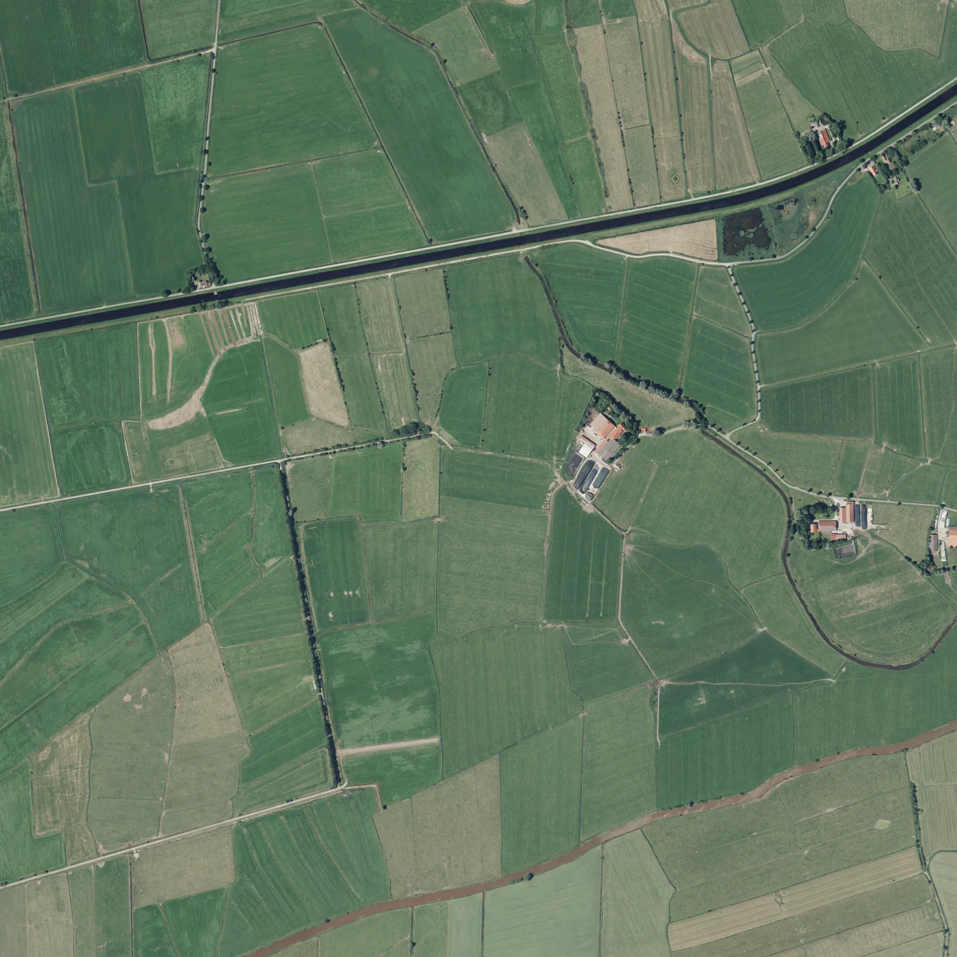
Krüshamm in Etzel in Friedeburg ist ein Feldweg.
- Straßentyp
- Feldweg
Bild
Cafés
Bushaltestellen
Straßen in der Umgebung
Zum Grashauser Land800 m
Maatener WegSturmfluten Höhenmarke
800 m
Hebrighausen1,0 km
Blutfennen1,0 km
Marschhausen1,1 km
Anglerweg1,2 km
Wahmer Weg1,3 km
Etzeler Kleiweg1,5 km
Butener Weg1,5 km
Robbenweg1,6 km
Vogtshelmte1,6 km
Schöpfwerksweg1,7 km
Hammrichweg1,7 km
Hammerweg1,7 km
Güstfenner Straße1,7 km
Nedderdelingsweg1,8 km
Grashauser Weg1,8 km
Kleiweg1,9 km
Großfennen2,0 km
Reidelinger Weg2,0 km
Haferlander Weg2,1 km
Kirchweg2,1 km
Am Kalbschloot2,1 km
Etzeler DorfstraßeKindergarten, Etzel
2,2 km
Saater Weg2,2 km
HarenburgHarenburg
2,3 km
Achtert Gast2,3 km
Carlshof2,3 km
HohemeyGrashaus, Hohemey
2,3 km
Pumper Hörn2,4 km
AltgödensAltgödens, Marienburg
2,5 km
Diekener Weg2,5 km
Horster GrashausHofladen Horster Grashaus, Horster Grashaus
2,6 km
LeegenwegDose, Gaststätte
2,8 km
Abläufe in der Umgebung
Emder Tief1,1 km
Schiffsbalje2,1 km
Güstfenner Schloot2,6 km
Flüsse in der Umgebung
Friedeburger Tief300 m
Gebäude in der Umgebung
Baudenkmal Gulfhaus2,0 km
Gotteshäuser in der Umgebung
St.-Martinus-Kirche2,1 km
Leichenhalle2,1 km
Gemeindehaus2,1 km
Gräben in der Umgebung
Kalbschloot1,0 km
Geestrandgraben Süd1,3 km
Geestrandgraben Nord1,4 km
Ringschloot1,4 km
Gooseschloot2,2 km
Sehenswürdigkeiten in der Umgebung
Schloss Gödens2,5 km
Wälder in der Umgebung
Pastors Tuun2,1 km
 ÖPNV-Stadtplan Etzel Legende
 | Bahn | |
| Bus | |
| Straßenbahn |
 Fahrradstadtplan Etzel Legende
 | Radweg | |
| Fahrradspur auf der Fahrbahn | |
| Radfahren auf der Busspur | |
| Fahrradstraße | |
| Für Radfahrer frei | |
| Für Radfahrer frei, guter Weg | |
| Radfahren verboten | |
| Kopfsteinpflaster |
| Fernradweg | (je nach Maßstab) | |
| Fernradweg |
 Fußgängerstadtplan Etzel Legende
 | Pfad |
| Fernwanderweg | (je nach Maßstab) | |
| Fernwanderweg | ||
| Fußgänger verboten |