
Nachtigallenweg in Goldenstedt
Der Nachtigallenweg in Goldenstedt ist eine asphaltierte Wohnstraße (30 km/h). Die Straße verfügt über Gehwege. Die nächste Bushaltestelle in der Nähe ist Goldenstedt, Friedt (ca. 400 m entfernt). Einen Nachtigallenweg gibt es auch in Damme und Lohne.
- Straßentyp
- Wohnstraße
- Höchstgeschwindigkeit
- 30
Bild
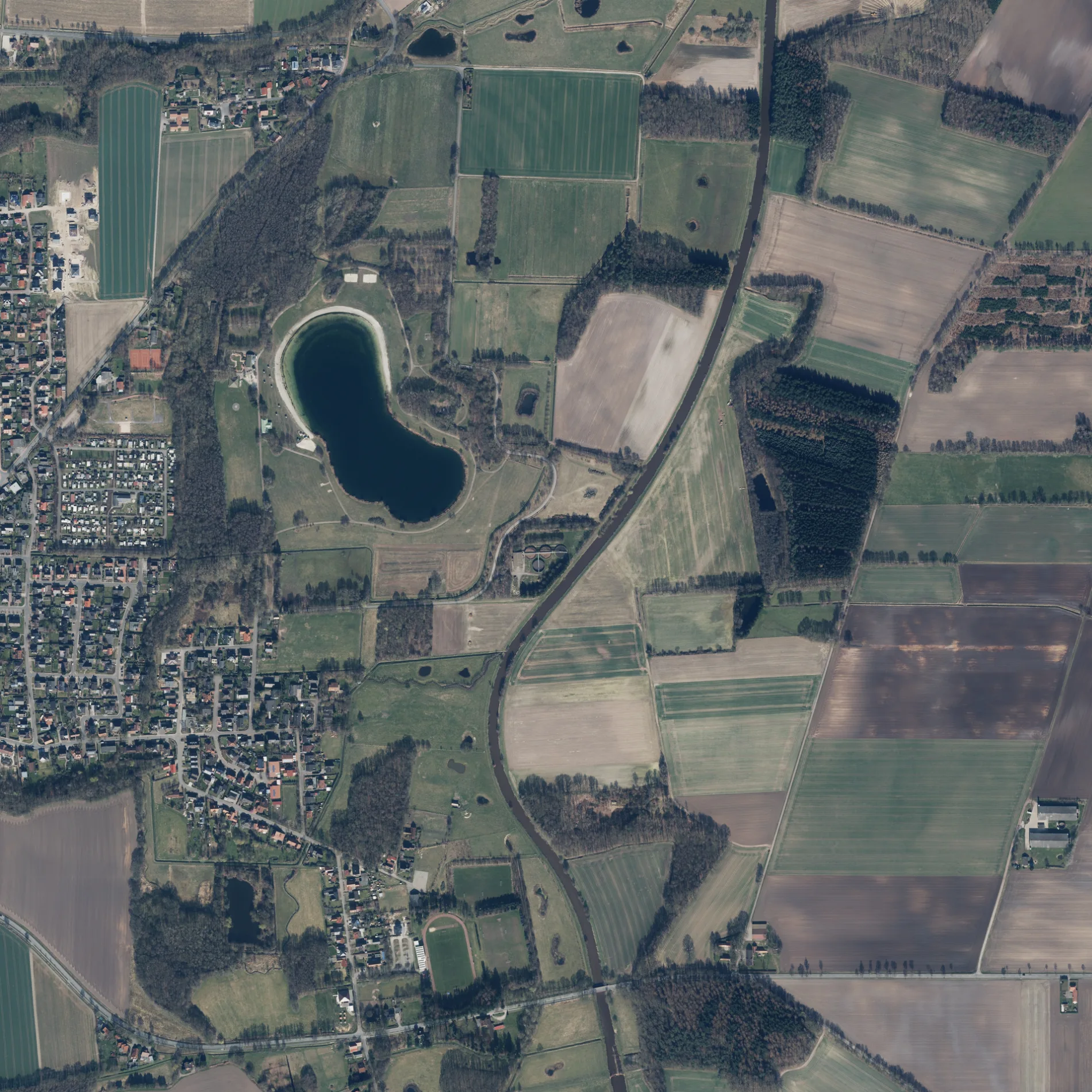
Straßen in der Umgebung
Danziger Straße50 m
Lerchenweg100 m
FinkenwegHausarzpraxis Finkenweg, Dr. Unch, Goldregen-Route, Seeschleife Zuweg
150 m
Brandenburger Straße150 m
Theodor-Hartz-Straße200 m
Rohrdommelweg250 m
Harmann-Wessel-Straße250 m
Ostpreußenstraße300 m
ÜberthünenKindergarten St. Gorgonius
350 m
Schlesier Straße350 m
BrachvogelwegHotel-Restaurant J. Klostermann
350 m
Am Huntetal350 m
Adolf-Kolping-Straße350 m
Drosselweg350 m
Tiefer WegCasa Canis, Zur Quelle
400 m
Uhlenhorst400 m
BrunkhorststraßeGoldenstedter Schere
450 m
Am MeerbuschGoldenstedt, Friedt
450 m
Meisenweg450 m
Dohlenstiege500 m
Sankt-Franziskus-WegSkulptur Mutter Natur
500 m
Dechant-Westendorf-Straße500 m
Zur LiethMarkt-Apotheke, Modehaus Dasenbrock
500 m
Prälat-Morthorst-Straße500 m
August-Hinrichs-Straße500 m
Gerhart-Hauptmann-StraßeLandbäckerei Diekhaus
550 m
Bonhoefferstraße550 m
Philosophenweg600 m
Pastor-Albers-WegLand Ei, St. Franziskus-Haus Alten- und Pflegeheim, Polizeistation Goldenstedt
600 m
Bundeskanzler-Kohl-Straße600 m
Pastor-Höpken-Straße600 m
Franziskusstraße600 m
Maximilian-Kolbe-Straße650 m
Bussardweg650 m
Bgm. Dierkes-PlatzSparkasse, Rathaus
650 m
Im Meerkamp700 m
Östings Busch700 m
Martin-Luther-Straße750 m
Im Ilande750 m
Falkenweg800 m
Campingplätze in der Umgebung
Campingplatz Hartensbergsee350 m
Gewässer in der Umgebung
Hartensbergsee500 m
Gräben in der Umgebung
Goldenstedter Mühlenbach350 m
Apeler Bach950 m
Museen in der Umgebung
Bredemeyers Hof650 m
Parks in der Umgebung
Stadtpark450 m
Sozialeinrichtungen in der Umgebung
Haus Sankt Franziskus500 m
Supermärkte in der Umgebung
EDEKA Knese450 m
Wohnmobilstellplätze in der Umgebung
Reisemobil-Wiese am Hartensbergsee450 m
 ÖPNV-Stadtplan Goldenstedt Legende
 | Bahn | |
| Bus | |
| Straßenbahn |
 Fahrradstadtplan Goldenstedt Legende
 | Radweg | |
| Fahrradspur auf der Fahrbahn | |
| Radfahren auf der Busspur | |
| Fahrradstraße | |
| Für Radfahrer frei | |
| Für Radfahrer frei, guter Weg | |
| Radfahren verboten | |
| Kopfsteinpflaster |
| Fernradweg | (je nach Maßstab) | |
| Fernradweg |
 Fußgängerstadtplan Goldenstedt Legende
 | Pfad |
| Fernwanderweg | (je nach Maßstab) | |
| Fernwanderweg | ||
| Fußgänger verboten |