
Hof von Campen in Lüder
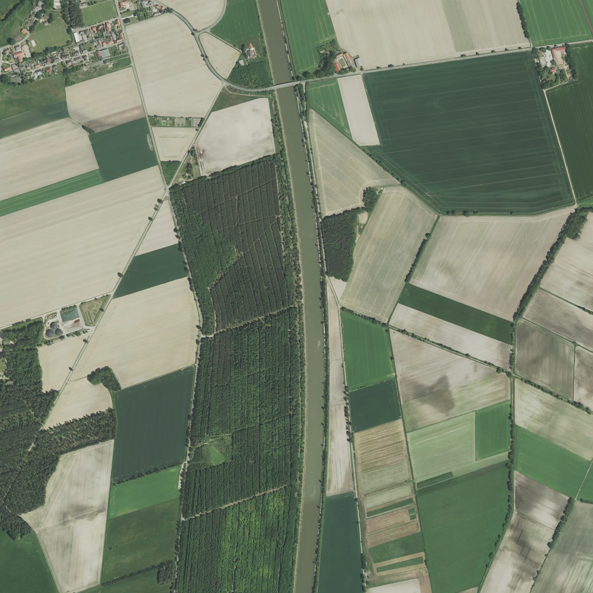
Der Hof von Campen in Lüder ist eine asphaltierte Nebenstraße und verläuft in Ost-West-Richtung.
- Straßentyp
- Nebenstraße
- Verlauf
- Ost-West
Bild
Cafés
Aussichtspunkte
Bushaltestellen
Touristeninformationen
Sozialeinrichtungen
Restaurants
Straßen in der Umgebung
Quellohwiesenweg300 m
Wierstorfer Weg400 m
Hinterm Eckerkamp950 m
Poggenberg1000 m
Am Sportplatz1,0 km
Schützenstraße1,1 km
Schulstraße1,1 km
Goldbahnweg1,2 km
Wentorfer Weg1,2 km
Birkenweg1,2 km
Langenbrügger Straße1,3 km
Röhrser Straße1,3 km
Fasanenweg1,4 km
Wulverlohweg1,4 km
Lerchenweg1,4 km
Am Krähenberg1,6 km
Lammerstraße1,6 km
Feuerweg1,6 km
Hinterm Kanal1,7 km
Wiesenweg1,7 km
Rosengarten1,7 km
Dorfplatz1,7 km
Pastorenweg1,7 km
Am Kanal1,8 km
Strühweg1,8 km
Aueblick1,9 km
Moorweg I1,9 km
Ruhmhorstweg2,0 km
Hinter der Aue2,0 km
Moorweg II2,1 km
Serviceweg am Elbe-Seitenkanal West2,1 km
Eisfeldhof2,2 km
Hauptstraße2,2 km
Lüdersche Straße2,2 km
Schmölauer Weg2,4 km
Serviceweg am Elbe-Seitenkanal Ost2,4 km
Abläufe in der Umgebung
Langenbrügger Moorgraben1,8 km
Bauflächen in der Umgebung
Hinter dem Hagen1,7 km
Einrichtungen in der Umgebung
Lüder Beregnung1,7 km
Fachhandel in der Umgebung
Bandt Spezialbau GmbH1,3 km
Feuerwachen in der Umgebung
Freiwillige Feuerwehr Lüder1,1 km
Flüsse in der Umgebung
Aue1,9 km
Gotteshäuser in der Umgebung
St. Bartholomäus-Kirche1,7 km
Gräben in der Umgebung
Goldbahnbach1,8 km
Höckerbach1,8 km
Entwässerungsgraben Elbe-Seitenkanal2,4 km
Kanäle in der Umgebung
Elbe-Seitenkanal900 m
Schulen in der Umgebung
Neue-Auetal-Schule1,2 km
Veranstaltungszentren in der Umgebung
Schützenhaus Lüder1,1 km
ÖPNV-Stadtplan Lüder Legende
| Bahn | |
| Bus | |
| Straßenbahn |
Fahrradstadtplan Lüder Legende
| Radweg | |
| Fahrradspur auf der Fahrbahn | |
| Radfahren auf der Busspur | |
| Fahrradstraße | |
| Für Radfahrer frei | |
| Für Radfahrer frei, guter Weg | |
| Radfahren verboten | |
| Kopfsteinpflaster |
| Fernradweg | (je nach Maßstab) | |
| Fernradweg |
Fußgängerstadtplan Lüder Legende
| Pfad |
| Fernwanderweg | (je nach Maßstab) | |
| Fernwanderweg | ||
| Fußgänger verboten |