
Querweg in Kutenholz Mulsum
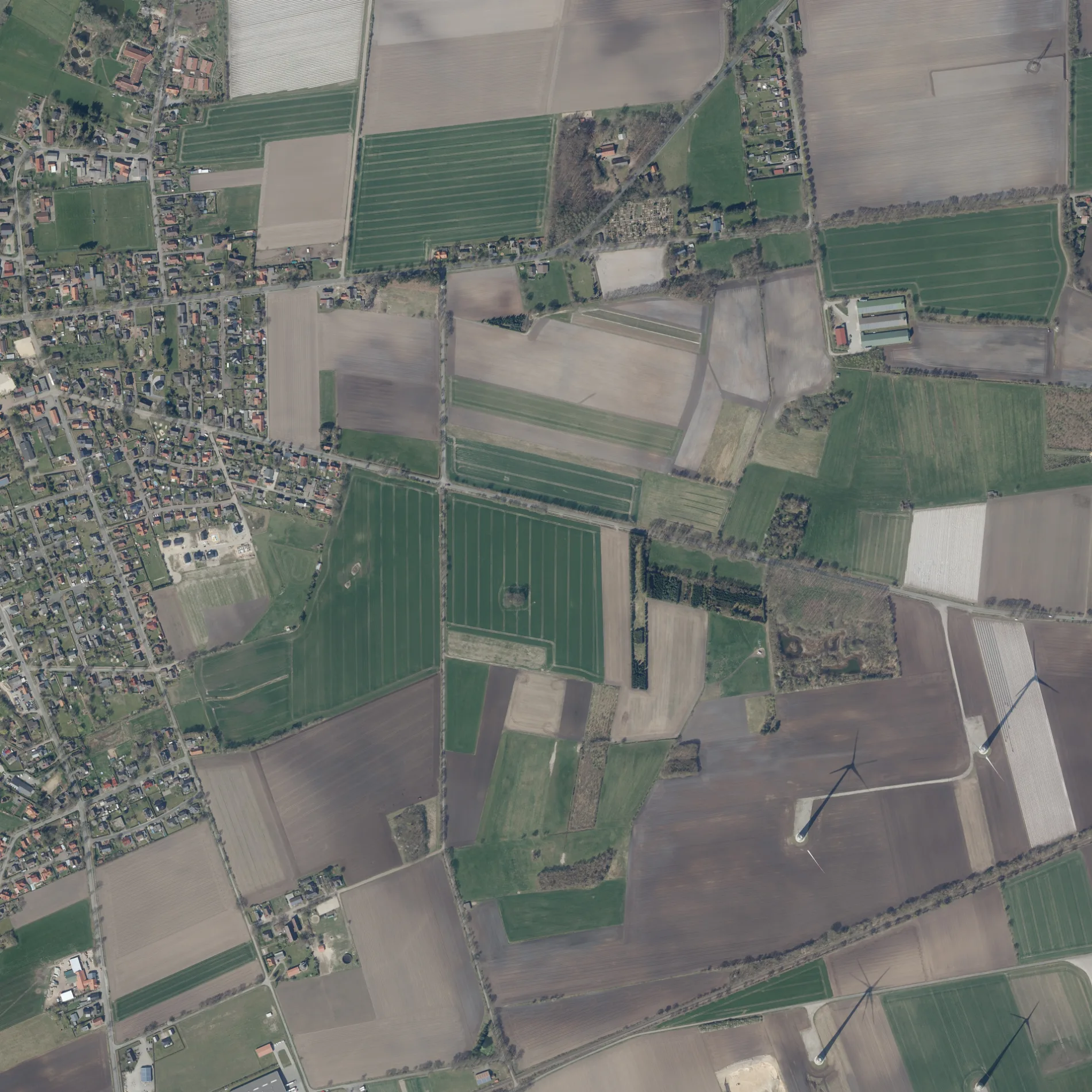
Der Querweg in Mulsum in Kutenholz ist eine Wohnstraße. Die nächste Haltestelle in der Nähe ist Mulsum, Heerloge (ca. 150 m entfernt).
- Straßentyp
- Wohnstraße
Bild
Feuerwachen
Bushaltestellen
Banken
Museen
- Anna Maria (eingeschränkt rollstuhlgerecht, Web) in der Mühlenweg 47 (27449). Galerieholländer – ca. 700 m.
Schulen
Stationen
Straßen in der Umgebung
Im Wiesengrund200 m
Gartenstraße250 m
Am Junkernkamp300 m
MühlenwegMulsum, Mühlenweg, Anna Maria
300 m
Am Ackerrain350 m
Schäferstieg350 m
Lustgang400 m
Suerfeld450 m
Feldstraße450 m
Wiesenrain450 m
An der KircheMulsum
500 m
Tulpenstieg500 m
Kirchenstraße550 m
Kreethof550 m
HeerlogeMulsum, Zur Mühle, Kutenholz, Ostlandring, Mulsum, Bahnhof, Mulsum, Heerloge
600 m
Immenhof600 m
Alte Schmiedestraße600 m
HöchststadtMulsum, Höchststadt, Kreissparkasse Stade
650 m
Hörnweg700 m
Osterkampstraße700 m
Zur Mühle700 m
Apfelstieg750 m
Kühlhornstraße800 m
Drosselstieg800 m
RosenstraßeFreiwillige Feuerwehr Mulsum
850 m
Im DänschMulsum, Schule, Grundschule Mulsum
900 m
Zur Loge900 m
Am neuen Sportplatz950 m
Etzhornweg950 m
Erlenbruch1000 m
LadestraßeMulsum-Essel
1000 m
Industriestraße1,0 km
Stader StraßeMulsum, Friedhof
1,0 km
In der Bült1,1 km
Willaher Moorweg1,2 km
Schierler Straße1,2 km
Im Heisterbusch1,3 km
Zum Willaher Moor1,4 km
Zum Hintern Holz1,6 km
Erlenhof1,6 km
Abläufe in der Umgebung
Ringbeck1,2 km
Bäche in der Umgebung
Kühlhornsbach1,2 km
Eisenbahnstrecken in der Umgebung
Moorexpress1000 m
Friedhöfe in der Umgebung
Neuer Friedhof1,2 km
Gebäude in der Umgebung
THW Ortsverband Kutenholz900 m
Gotteshäuser in der Umgebung
St. Petri550 m
Restaurants in der Umgebung
Deutsches Haus550 m
Sozialeinrichtungen in der Umgebung
Altenpension Logehof KG1,1 km
Sportzentren in der Umgebung
Reithalle1,1 km
 ÖPNV-Stadtplan Mulsum Legende
 | Bahn | |
| Bus | |
| Straßenbahn |
 Fahrradstadtplan Mulsum Legende
 | Radweg | |
| Fahrradspur auf der Fahrbahn | |
| Radfahren auf der Busspur | |
| Fahrradstraße | |
| Für Radfahrer frei | |
| Für Radfahrer frei, guter Weg | |
| Radfahren verboten | |
| Kopfsteinpflaster |
| Fernradweg | (je nach Maßstab) | |
| Fernradweg |
 Fußgängerstadtplan Mulsum Legende
 | Pfad |
| Fernwanderweg | (je nach Maßstab) | |
| Fernwanderweg | ||
| Fußgänger verboten |