
Am Mühlenbeck in Fredenbeck
Das Am Mühlenbeck in Fredenbeck ist eine Wohnstraße. Die nächste Haltestelle ist Fredenbeck, Schulzentrum.
- Straßentyp
- Wohnstraße
Bild
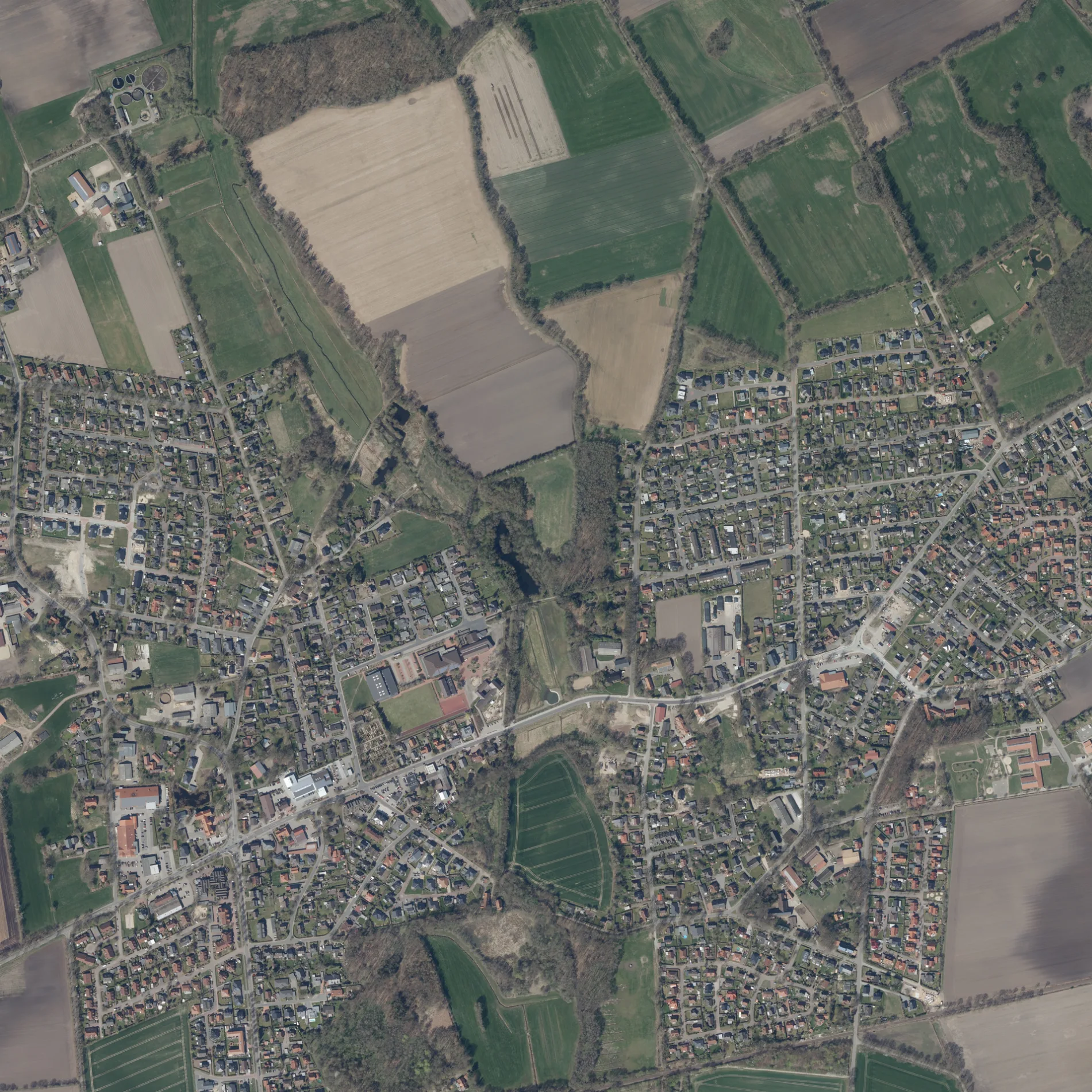
Bushaltestellen
Straßen in der Umgebung
Fredenbeck, Schulzentrum50 m
Heckenweg100 m
Am Beck150 m
Im Vorfeld150 m
Im Wiesengrund250 m
Im DorfeFredenbeck, Im Dorfe, Hausarztpraxis Peter Bockmühl und Dr. med. Susanne Kaiser
250 m
Am Friedhof300 m
Alte DorfstraßeKindergarten Villa Fröhlich, Klein Fredenbeck
300 m
MühlenwegFredeneck
300 m
WiesenstraßeFredenbeck, Wiesenstraße
300 m
An'n Möhlendiek450 m
Waldblick500 m
Bornstieg500 m
Ahornweg500 m
Eschenweg500 m
Kastanienweg500 m
Büntheck500 m
An der Börne500 m
Nachtigallenweg550 m
BahnhofstraßeGeestland Apotheke, Dr. med. F. Kahl und D. med. Ibrom, PM Reisen, Brillenschmiede, Freiwillige Feuerwehr Fredenbeck Ortswehr Fredenbeck, Fredenbeck, Bahnhof
550 m
Falkenweg550 m
Kiebitzweg550 m
Am WaldeWassermühle Fredenbeck
550 m
Buchenweg550 m
HauptstraßeFredenbeck, Wischhofdamm, Mühlen Apotheke, Polizeistation Fredenbeck, Raisa eG, Fredenbeck, Hauptstraße, Volksbank eG Fredenbeck-Oldendorf-Ahlerstedt, Dönertreff, RAISA eg, OIL!, Volkswagen, Esso
600 m
SchwingestraßeFredenbeck, Rathaus, Fredenbeck und Umgebung, Fredenbeck, Schützenplatz, Rita's Blumendiele, Fredenbeck, Klärwerk
600 m
RotdornwegHolzfeld
600 m
Dinghorner StraßeAldi, Rossmann, Kreissparkasse Stade, Der Freden-Bäcker, B & K Fashion, Rewe, Fredenbeck,Kutenholzer Weg, Fredenbeck,Dinghorn, Dinghorn, Fredenbeck, Badesee
650 m
Kiefernweg650 m
SchulwegReitsport Witt, Blumenstübchen
650 m
Ulmenweg650 m
Kurze StraßeHol'ab
650 m
Lindenweg650 m
Bussardweg700 m
Hüttenweg700 m
Sperberweg800 m
Akazienweg800 m
Holzweg850 m
Bauflächen in der Umgebung
Sonnenkamp Ost600 m
Bäche in der Umgebung
Fredenbecker Mühlenbach200 m
Gebäude in der Umgebung
Schmiede600 m
Pavilon650 m
Gemeinschaftszentren in der Umgebung
Metas Huus550 m
Mehrfamilienhäuser in der Umgebung
Seniorenresidenz Heidtmanns Hof750 m
Parks in der Umgebung
Fredenhoff600 m
Rathäuser in der Umgebung
Rathaus Samtgemeinde Fredenbeck550 m
Scheunen in der Umgebung
Neues Backhaus600 m
Schulen in der Umgebung
Geestlandschule200 m
Sportzentren in der Umgebung
Geestlandhalle100 m
 ÖPNV-Stadtplan Fredenbeck Legende
 | Bahn | |
| Bus | |
| Straßenbahn |
 Fahrradstadtplan Fredenbeck Legende
 | Radweg | |
| Fahrradspur auf der Fahrbahn | |
| Radfahren auf der Busspur | |
| Fahrradstraße | |
| Für Radfahrer frei | |
| Für Radfahrer frei, guter Weg | |
| Radfahren verboten | |
| Kopfsteinpflaster |
| Fernradweg | (je nach Maßstab) | |
| Fernradweg |
 Fußgängerstadtplan Fredenbeck Legende
 | Pfad |
| Fernwanderweg | (je nach Maßstab) | |
| Fernwanderweg | ||
| Fußgänger verboten |