
Altendorfer Grenzweg in Drochtersen Hüll
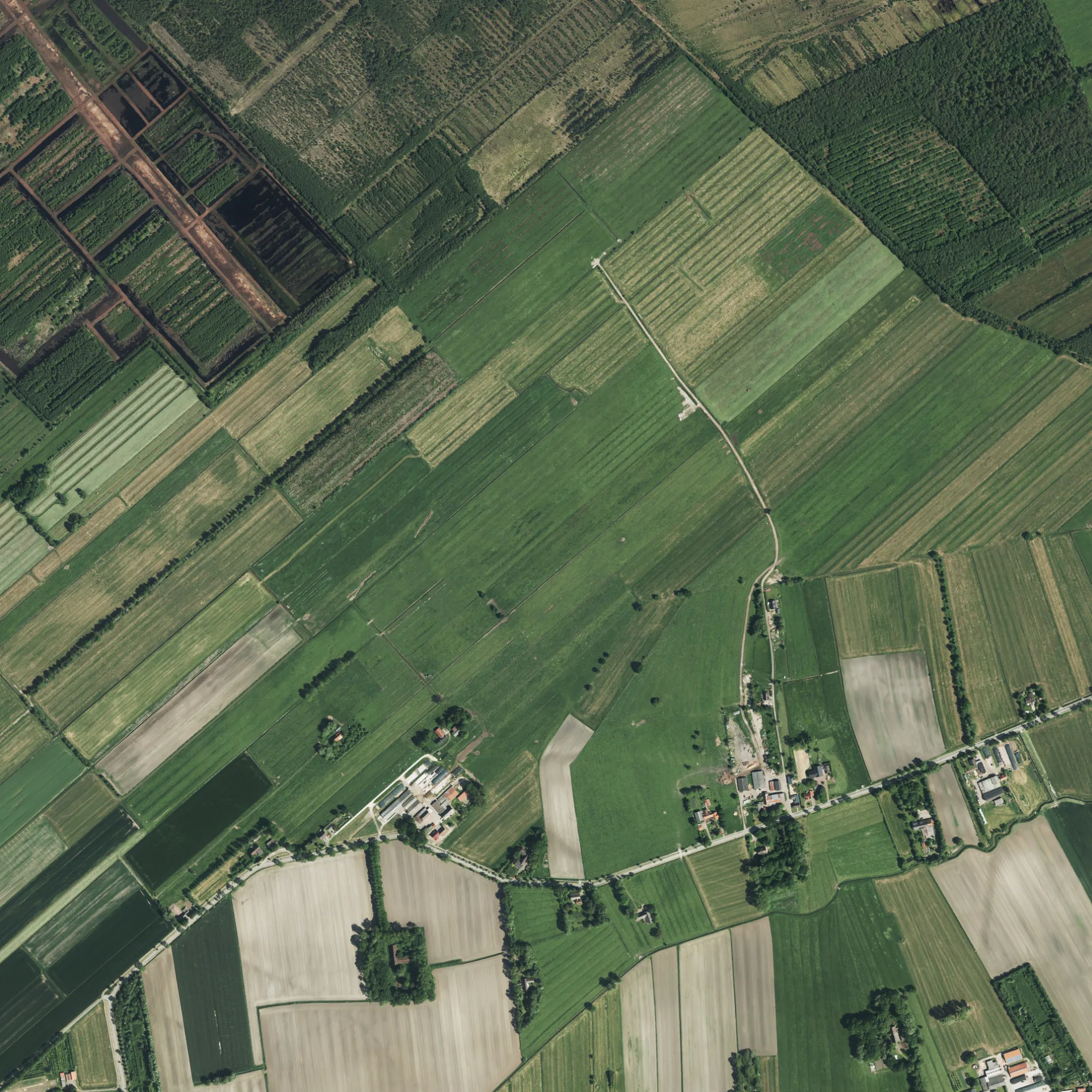
Der Altendorfer Grenzweg in Hüll in Drochtersen ist eine asphaltierte nicht klassifizierte Straße und verläuft in Nordost-Südwest-Richtung. Diese Straße ist Teil von Fahrradroute „Mönchsweg 🔗".
- Straßentyp
- nicht klassifizierte Straße
- Verlauf
- Nordost-Südwest
Bild
Bushaltestellen
Straßen in der Umgebung
Gehrden400 m
Alte Sägerei550 m
Draakenstieg550 m
Birkenweg550 m
Im Rönnefeld1000 m
Hörne1,1 km
Bauernreihe1,1 km
Obenaltendorf1,3 km
Grüne Straße1,3 km
Rönndeich1,7 km
Oberhüll2,0 km
Altendorf2,3 km
Neustadt2,3 km
Niederhüll2,4 km
Großenwördener Straße2,5 km
Hüller Sietwende2,5 km
Römerweg2,5 km
Schüttdamm2,7 km
Scheidung2,8 km
Fasanenweg2,8 km
Ostener Straße2,9 km
Landwehr2,9 km
Glindweg3,0 km
3. Kanal3,1 km
Op De Leiden3,2 km
Dornbuschermoor3,2 km
Heinrichsweg3,2 km
Seestraße3,3 km
Abläufe in der Umgebung
Polderauslauf Drakenstieg650 m
Druckgraben Polder Hörne1,3 km
Druckgraben Polder Wischhusen1,4 km
Polderauslauf Marx1,4 km
Obenaltendorfer Moorwettern1,5 km
Altendorfer Leidenwettern2,0 km
Polderauslauf Bohn2,2 km
Polderauslauf Hagenah2,7 km
Zufluß Polder Altendorf-Ost2,7 km
Moorwettern III2,9 km
Altendorfer Wettern3,0 km
Bäche in der Umgebung
Kleine Rönne800 m
Seelauf3,2 km
Flüsse in der Umgebung
Große Rönne1,2 km
Großenwördener Seekanal3,5 km
Gräben in der Umgebung
Obenaltendorfer Moorkanal1,0 km
Altendorfer Straßenwettern2,3 km
Hüller Kleine Fleth2,5 km
Schüttdammer Straßenwettern2,7 km
Moorkanal2,8 km
Wolfsbrucher südlicher Moorgraben3,0 km
ÖPNV-Stadtplan Hüll Legende
| Bahn | |
| Bus | |
| Straßenbahn |
Fahrradstadtplan Hüll Legende
| Radweg | |
| Fahrradspur auf der Fahrbahn | |
| Radfahren auf der Busspur | |
| Fahrradstraße | |
| Für Radfahrer frei | |
| Für Radfahrer frei, guter Weg | |
| Radfahren verboten | |
| Kopfsteinpflaster |
| Fernradweg | (je nach Maßstab) | |
| Fernradweg |
Fußgängerstadtplan Hüll Legende
| Pfad |
| Fernwanderweg | (je nach Maßstab) | |
| Fernwanderweg | ||
| Fußgänger verboten |