
Piepenbreite in Obernkirchen
Piepenbreite in Obernkirchen ist eine Wohnstraße.
- Straßentyp
- Wohnstraße
Bild
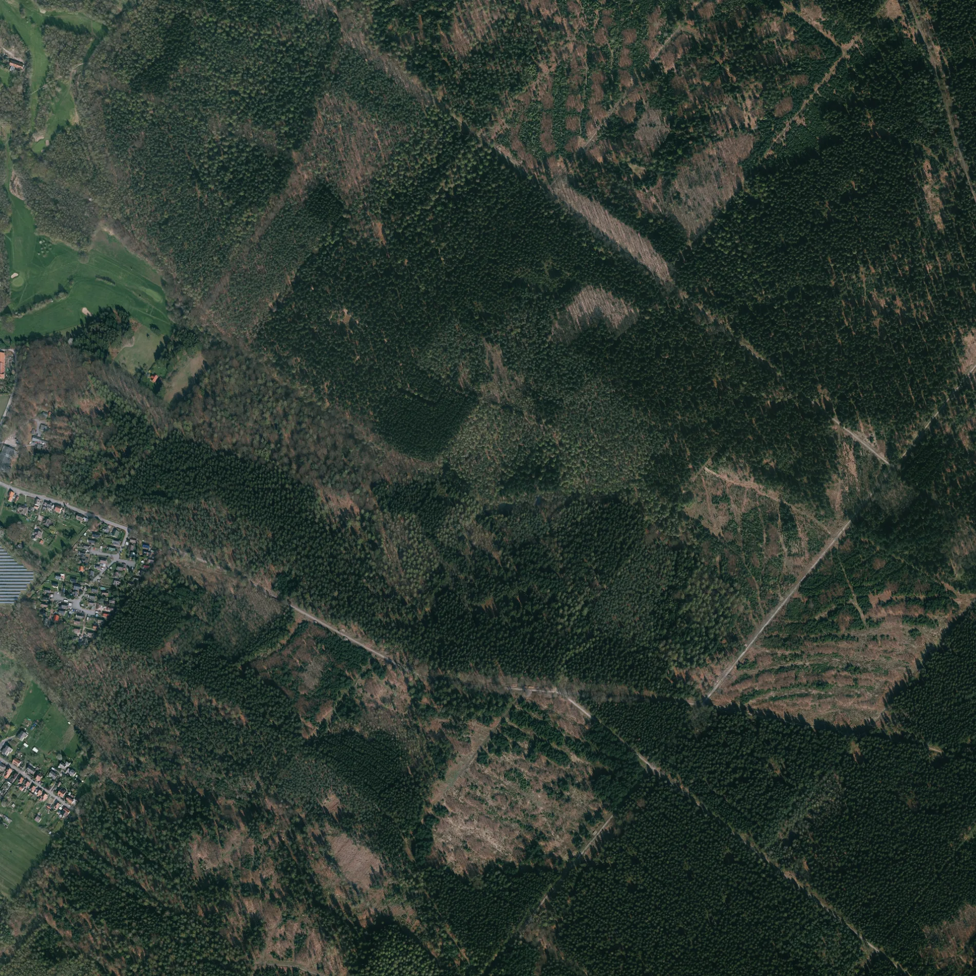
Straßen in der Umgebung
Bornemanns Tannen400 m
Bierweg500 m
Spiegeleierweg550 m
Vor den Büschen600 m
An den Fuchslöchern600 m
HöhewegCacchia
650 m
Weg zur Alten Bückeburg750 m
Rolfshagener Weg750 m
Krumsiekstraße750 m
Lohplatz800 m
Annastraße850 m
Vor den Tannen850 m
Henriettenstraße850 m
Baumeister-Krentler-Straße900 m
DornröschenwegDer schöne Garten
900 m
Bergstraße950 m
Rintelner StraßeObernkirchen, Annastraße, Obernkirchen, Am Friedhof, Asia Minh Thu, Fahrschule Starte, Obernkirchen Am Friedhof, Obernkirchen, Siedlung, E. Granholm, Antikhandel Schaumburg
950 m
Lieth950 m
Eichendorffstraße950 m
Fliederweg950 m
Kolpingstraße950 m
Wilhelmstraße1000 m
Schwarzer Weg1000 m
Krainhäger WegObernkirchen, Am Kohlenberg, Obernkirchen Waldgrund
1,0 km
Am Kollbergring1,0 km
Neuhütter Weg1,0 km
Gerhart-Hauptmann-Weg1,0 km
Stoevesandtstraße1,0 km
Schlesierweg1,1 km
Weheweg1,1 km
Am SonnenbrinkParkplatz Freibad
1,1 km
Jägerweg1,1 km
Rosenstraße1,1 km
Autohäuser in der Umgebung
Fahrzeughaus Matz - DACIA900 m
Fahrzeuhaus Matz - Renault950 m
Bäche in der Umgebung
Hühnerbach300 m
Liethbach1000 m
Friedhöfe in der Umgebung
Jüdischer Friedhof Obernkirchen800 m
Friedhof Obernkirchen1000 m
Gebäude in der Umgebung
Heye International GmbH550 m
Wesling Obernkirchener Sandstein1,1 km
Geschäftsgebäude in der Umgebung
Besser Treppen1,1 km
Industriegebiete in der Umgebung
Ardagh Glass550 m
Kindergärten in der Umgebung
Kita Am Sonnenbrinkbad1000 m
Sehenswürdigkeiten in der Umgebung
Liethhalle700 m
Sozialzentren in der Umgebung
Kameradschaftsheim K.K. Obernkirchen750 m
Sportplätze in der Umgebung
TC Obernkirchen850 m
Supermärkte in der Umgebung
nah&frisch Markt Grimm850 m
Wasserparks in der Umgebung
Sonnenbrinkbad Obernkirchen1000 m
 ÖPNV-Stadtplan Obernkirchen Legende
 | Bahn | |
| Bus | |
| Straßenbahn |
 Fahrradstadtplan Obernkirchen Legende
 | Radweg | |
| Fahrradspur auf der Fahrbahn | |
| Radfahren auf der Busspur | |
| Fahrradstraße | |
| Für Radfahrer frei | |
| Für Radfahrer frei, guter Weg | |
| Radfahren verboten | |
| Kopfsteinpflaster |
| Fernradweg | (je nach Maßstab) | |
| Fernradweg |
 Fußgängerstadtplan Obernkirchen Legende
 | Pfad |
| Fernwanderweg | (je nach Maßstab) | |
| Fernwanderweg | ||
| Fußgänger verboten |