
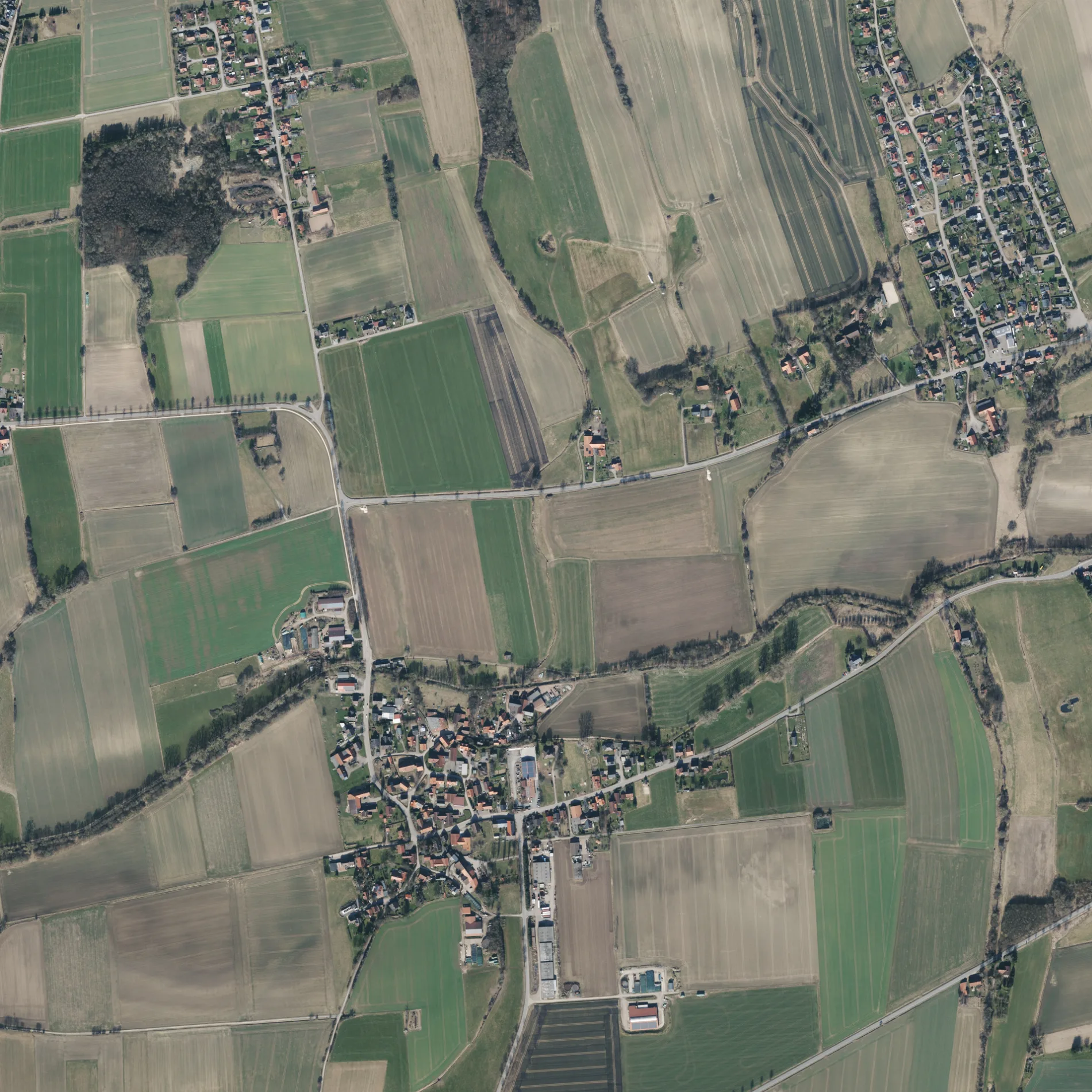
In der Masch in Auetal Borstel
In der Masch in Borstel in Auetal ist eine Wohnstraße und sie verläuft in Ost-West-Richtung.
- Straßentyp
- Wohnstraße
- Verlauf
- Ost-West
Bild
Touristeninformationen
Bushaltestellen
Straßen in der Umgebung
Kurze Straße100 m
Dorfstraße100 m
Zur Paschenburg150 m
Schumacherstraße150 m
Schmiedestraße200 m
Borsteler Straße200 m
Am Mühlengraben200 m
Mühlenstraße250 m
Schaumburger Weg350 m
Osterfeld450 m
Sternweg450 m
Kirchweg500 m
Bernsener Straße700 m
Borsteler Feld800 m
BK-Auetal800 m
Sonnenweg950 m
Reihe950 m
Pommernweg950 m
Schlesierweg1,0 km
Im Eck1,2 km
Gartenstraße1,2 km
Alte Poststraße1,3 km
Preußenweg1,3 km
Krümmlingstraße1,4 km
Försterweg1,4 km
An der Trift1,4 km
Siedlungsweg1,4 km
Ziegeleiweg1,5 km
Oelberger Weg1,5 km
Rintelner Straße1,5 km
Amselweg1,5 km
Bergmannsweg1,5 km
Im Kump1,5 km
Auf der Hude1,6 km
Borsteler Bruch1,6 km
An der Kuhle1,6 km
Zum Eisenhammer1,6 km
Ostereiche1,6 km
Am Haarberg1,6 km
Grenzweg1,7 km
Weststraße1,7 km
Bernser Kirchweg1,8 km
Aquakulturflächen in der Umgebung
Fischteich1,3 km
Bäche in der Umgebung
Tiefersicksbeeke700 m
Bernser Bach1,3 km
Feuerwachen in der Umgebung
Feuerwehr Bernsen1,2 km
Flüsse in der Umgebung
Bückeburger Aue700 m
Gotteshäuser in der Umgebung
Friedhofkapelle Borstel800 m
Naturschutzgebiete in der Umgebung
Alte Tongrube Borstel1,1 km
ÖPNV-Stadtplan Borstel Legende
| Bahn | |
| Bus | |
| Straßenbahn |
Fahrradstadtplan Borstel Legende
| Radweg | |
| Fahrradspur auf der Fahrbahn | |
| Radfahren auf der Busspur | |
| Fahrradstraße | |
| Für Radfahrer frei | |
| Für Radfahrer frei, guter Weg | |
| Radfahren verboten | |
| Kopfsteinpflaster |
| Fernradweg | (je nach Maßstab) | |
| Fernradweg |
Fußgängerstadtplan Borstel Legende
| Pfad |
| Fernwanderweg | (je nach Maßstab) | |
| Fernwanderweg | ||
| Fußgänger verboten |