
Friedhofstraße in Hepstedt
Die Friedhofstraße in Hepstedt ist eine nicht klassifizierte Straße. Sie hat eine Fahrbahnbreite von 3 m. Sie verläuft in Nord-Süd-Richtung und endet am Ummelweg, während das andere Ende eine Sackgasse ist. Eine Friedhofstraße gibt es auch in Kirchtimke.
- Straßentyp
- nicht klassifizierte Straße
- Verlauf
- Nord-Süd
Bild
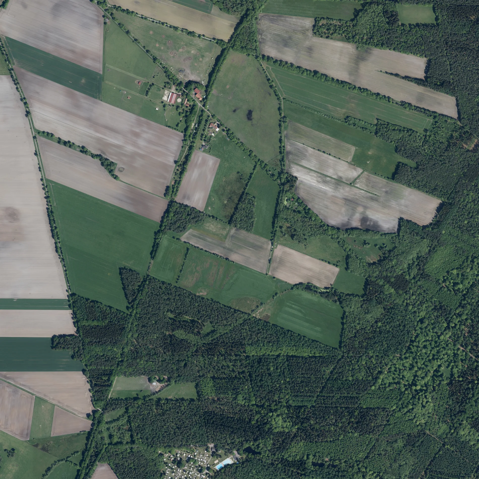
Straßen in der Umgebung
UmmelwegSilvana's Ummel-Café
500 m
Sandortstraße950 m
Auf der Hanfstelle950 m
Am VierenbergHepstedt
1,0 km
Am Osterbruch1,1 km
Bahnhofsweg1,3 km
Kirchtimker Straße1,3 km
Brunshoopweg1,3 km
BahnhofstraßeBreddorf
1,4 km
Petersweg1,4 km
MühlenwegHepstedt
1,4 km
Breddorfer Straße1,4 km
Neuer Weg1,5 km
An der Schule1,6 km
Hinterm Eichhof1,6 km
Am Schmoobach1,7 km
Hinter den Höfen1,7 km
Linnorthskamp1,8 km
Am Brink1,8 km
Dorfstraße1,8 km
Friedhofstraße1,8 km
Linnorthsweg1,8 km
Zum Buchenholz1,8 km
Am Horn1,8 km
Linnarth1,9 km
Am Friedhof1,9 km
Lütten Horn2,0 km
An der Trift2,1 km
Triftweg2,1 km
Am Lüßelsfeld2,2 km
Böschenweg2,2 km
Wiesengrund2,2 km
Kleine Straße2,3 km
Ehebrocker StraßeClassic
2,3 km
Tarmstedter StraßeHepstedt, Eichhof, Hepstedt, Schullandheim
2,3 km
Zu den Wolfskuhlen2,5 km
HauptstraßeBreddorf, Gerätehaus
2,5 km
Ottens Weg2,6 km
Vor den Wolfskuhlen2,6 km
Bäche in der Umgebung
Schmoo1,5 km
Reithbach2,2 km
Campingplätze in der Umgebung
Waldcampingplatz Ummelbad650 m
Friedhöfe in der Umgebung
Friedhof1,7 km
Gemeinschaftszentren in der Umgebung
Vereinsheim Segelfluggruppe Bremen e.V.2,2 km
Industriegebiete in der Umgebung
Biogasanlage1,7 km
Schulgebäude in der Umgebung
Landschulheim Hepstedt2,3 km
Supermärkte in der Umgebung
Tante Enso Breddorf2,4 km
Wasserparks in der Umgebung
Ummelbad700 m
Wälder in der Umgebung
Hepstedter Büsche1,2 km
Brockohe2,5 km
 ÖPNV-Stadtplan Hepstedt Legende
| Bahn | |
| Bus | |
| Straßenbahn |
 Fahrradstadtplan Hepstedt Legende
| Radweg | |
| Fahrradspur auf der Fahrbahn | |
| Radfahren auf der Busspur | |
| Fahrradstraße | |
| Für Radfahrer frei | |
| Für Radfahrer frei, guter Weg | |
| Radfahren verboten | |
| Kopfsteinpflaster |
| Fernradweg | (je nach Maßstab) | |
| Fernradweg |
 Fußgängerstadtplan Hepstedt Legende
| Pfad |
| Fernwanderweg | (je nach Maßstab) | |
| Fernwanderweg | ||
| Fußgänger verboten |