
Küstergarten in Hohenhameln Soßmar
Der Küstergarten in Hohenhameln ist eine Wohnstraße und verläuft in Nord-Süd-Richtung.
- Straßentyp
- Wohnstraße
- Verlauf
- Nord-Süd
Bild
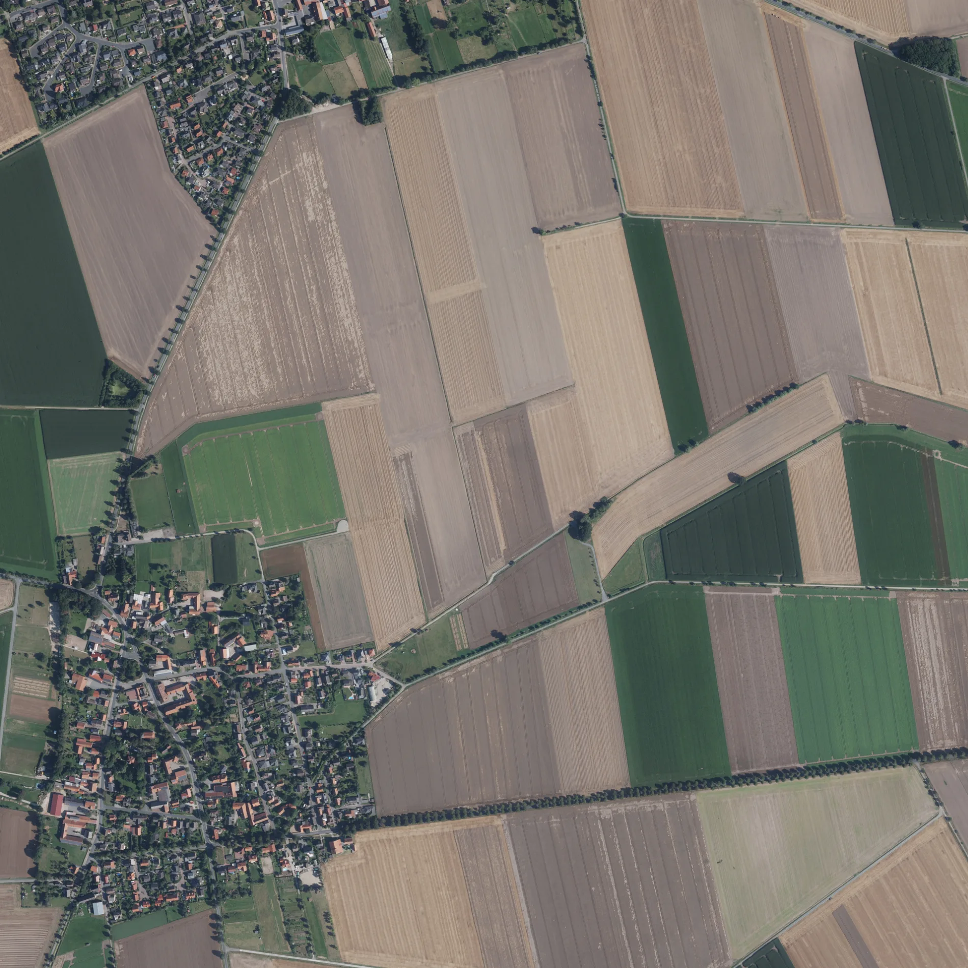
Straßen in der Umgebung
Barweg100 m
Hirtenweg150 m
Klintstraße200 m
Bierberger Straße200 m
Claustal300 m
Haschweg350 m
Sackstraße350 m
Hagenstraße400 m
Bäckerbrink400 m
Der alte Hofsweg400 m
Severitstraße450 m
Schillerweg450 m
Nebenweg450 m
Beekweg500 m
Kleine Sackstraße500 m
St.-Georg-Straße550 m
Lange Reihe550 m
Jägerstraße550 m
Im Winkel550 m
Zuckerweg600 m
Unislawer Weg650 m
Schleppweg650 m
Kreuzstraße700 m
Am Wasserhaus700 m
Hasenwinkel750 m
Mönneckenstraße800 m
Stadtweg950 m
Bruchweg950 m
An der Freiflut1000 m
Mühlenweg1,0 km
Horstweg1,1 km
Prüßmühlenweg1,3 km
Bergfeld1,5 km
Soßmarer Tor1,6 km
Lerchenweg1,7 km
Stiegeweg1,7 km
Kleegarten1,7 km
Finkenweg1,7 km
Weidenweg1,7 km
Meisenweg1,7 km
Hermann-Löns-Straße1,7 km
Fasanenweg1,7 km
Weberstraße1,8 km
Am Sonnenhang1,8 km
Abläufe in der Umgebung
Großer Graben1,1 km
Bäche in der Umgebung
Neuer Graben2,0 km
Feuerwachen in der Umgebung
Freiwillige Feuerwehr Soßmar400 m
Gotteshäuser in der Umgebung
Sankt Georg350 m
Sportplätze in der Umgebung
TSV Clauen/Soßmar800 m
ÖPNV-Stadtplan Soßmar Legende
| Bahn | |
| Bus | |
| Straßenbahn |
Fahrradstadtplan Soßmar Legende
| Radweg | |
| Fahrradspur auf der Fahrbahn | |
| Radfahren auf der Busspur | |
| Fahrradstraße | |
| Für Radfahrer frei | |
| Für Radfahrer frei, guter Weg | |
| Radfahren verboten | |
| Kopfsteinpflaster |
| Fernradweg | (je nach Maßstab) | |
| Fernradweg |
Fußgängerstadtplan Soßmar Legende
| Pfad |
| Fernwanderweg | (je nach Maßstab) | |
| Fernwanderweg | ||
| Fußgänger verboten |