
Langenberg in Hohenhameln Clauen
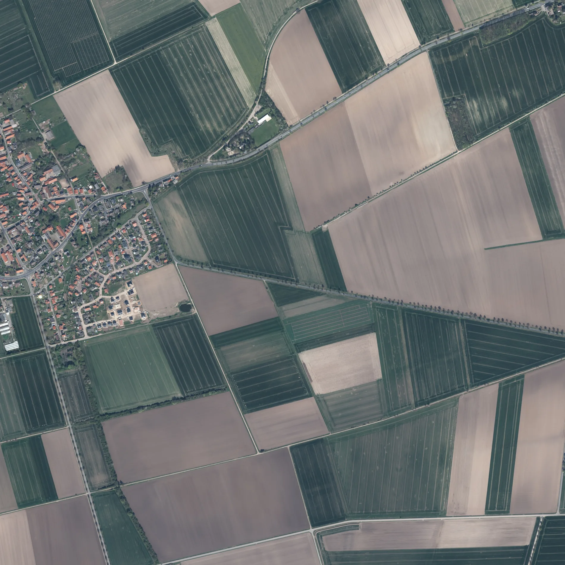
Der Langenberg in Hohenhameln ist eine Wohnstraße (30 km/h). Er hat eine Fahrbahnbreite von 5 m und er verläuft in Ost-West-Richtung.
- Straßentyp
- Wohnstraße
- Höchstgeschwindigkeit
- 30
- Postleitzahl
- 31249
- Verlauf
- Ost-West
Bild
Sehenswürdigkeiten
Autohäuser
Kindergärten
Bushaltestellen
Kneipen
Gotteshäuser
Feuerwachen
Schulen
Veranstaltungszentren
Straßen in der Umgebung
Kleiner Brocken100 m
Hoppelberg200 m
Stolberg250 m
Wurmberg300 m
Bocksberg300 m
Herzberg300 m
Andreasberg350 m
Lauterberg350 m
Harzblick350 m
Bahnhofstraße400 m
Brockenblick450 m
Peiner Landstraße450 m
Am Bahndamm500 m
Im Kampe550 m
Osterstraße650 m
Witwenberg650 m
Schlütenstraße650 m
Breite Straße700 m
An der Tränke750 m
Kirchweg800 m
Schweineallee800 m
Friedhofsweg850 m
Am Gallekamp850 m
Stiefelstraße850 m
Twetje900 m
Katzhagen900 m
Mühlenweg1000 m
Gallekampsweg1,1 km
Schleppweg1,4 km
Stadtweg1,4 km
Zuckerweg1,5 km
Zuckerfabrik1,5 km
Hasenwinkel1,6 km
Mönneckenstraße1,6 km
Severitstraße1,6 km
Clauener Straße1,7 km
Finkenweg1,7 km
Hirtenweg1,7 km
Haschweg1,7 km
Fasanenweg1,7 km
Amselweg1,7 km
Harberstraße1,7 km
Zur Chaussee1,9 km
Zum Bruchgraben1,9 km
Gewässer in der Umgebung
RRB Clauen450 m
Industriegebiete in der Umgebung
Zuckerfabrik Clauen1000 m
Deppe1,6 km
Sportplätze in der Umgebung
TSV Clauen / Soßmar700 m
BSC Clauen750 m
ÖPNV-Stadtplan Clauen Legende
| Bahn | |
| Bus | |
| Straßenbahn |
Fahrradstadtplan Clauen Legende
| Radweg | |
| Fahrradspur auf der Fahrbahn | |
| Radfahren auf der Busspur | |
| Fahrradstraße | |
| Für Radfahrer frei | |
| Für Radfahrer frei, guter Weg | |
| Radfahren verboten | |
| Kopfsteinpflaster |
| Fernradweg | (je nach Maßstab) | |
| Fernradweg |
Fußgängerstadtplan Clauen Legende
| Pfad |
| Fernwanderweg | (je nach Maßstab) | |
| Fernwanderweg | ||
| Fußgänger verboten |