
Friedensheimer Straße in Worpswede Hüttenbusch
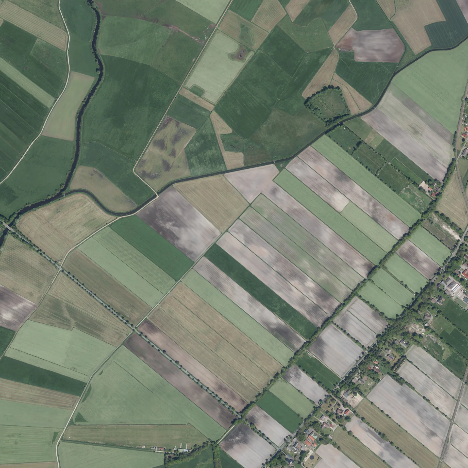
Die Friedensheimer Straße in Worpswede ist eine asphaltierte, unbeleuchtete Kreisstraße (70 km/h). Sie hat eine Fahrbahnbreite von 5 m und sie verläuft in Südost-Nordwest-Richtung. Diese Straße liegt an der Fernstraße „K 21" sowie der Fahrradroute „57-58 🔗".
- Straßentyp
- Kreisstraße
- Höchstgeschwindigkeit
- 70
- Verlauf
- Südost-Nordwest
Bild
Banken
Bushaltestellen
- Buslinien 685
Straßen in der Umgebung
Keildamm600 m
Sanddamm650 m
Hüttendorfer Straße850 m
Hüttenbuscher Trift850 m
Friedensheimer Straße900 m
Kometendamm1,1 km
Schwarzer Weg1,6 km
Hüttendamm1,7 km
Querweg1,7 km
Hansaweg1,9 km
Weidedamm2,0 km
Heudorfer Straße2,0 km
Deelendamm2,0 km
Stichweg2,1 km
Friedhofstraße2,1 km
Hüttenbuscher Straße2,1 km
Fuhrenweg2,1 km
Birkenstraße2,2 km
Feldstraße2,2 km
Brunnenweg2,2 km
Grüner Grund2,2 km
Auf den Bergen2,2 km
Kirchdamm2,3 km
Am Bahnhof2,3 km
An den Gleisen2,4 km
Eulenhof2,4 km
Hinter der Mühle2,4 km
Hinter den Eichen2,5 km
Jungfernstieg2,5 km
Auf dem Vieh2,6 km
Mühlendamm2,6 km
Abläufe in der Umgebung
Hüttenbuscher Vorweidengraben300 m
Friedensheimer Schiffgraben850 m
Schlutgraben1,1 km
Hinnerksgraben1,1 km
Brasengraben1,8 km
Glinstedt-Ostersoder Umlaufgraben2,0 km
Feuerwachen in der Umgebung
Feuerwehr Hüttenbusch1,8 km
Flüsse in der Umgebung
Rummeldeisbeek550 m
Hamme1,9 km
Friedhöfe in der Umgebung
Friedhof Hüttenbusch2,3 km
Gebäude in der Umgebung
Physio Mensing2,2 km
Gräben in der Umgebung
Wendelkengraben1,2 km
Wittehüllengraben1,9 km
Heudorfer Schiffgraben2,1 km
Alter Schiffgraben2,3 km
Industriegebiete in der Umgebung
Biogas Grimm2,0 km
Sportzentren in der Umgebung
Sporthalle Hütenbusch2,1 km
Supermärkte in der Umgebung
Tante Enso Hüttenbusch2,1 km
Sonstiges in der Umgebung
Sonderlandeplatz Hüttenbusch600 m
ÖPNV-Stadtplan Hüttenbusch Legende
| Bahn | |
| Bus | |
| Straßenbahn |
Fahrradstadtplan Hüttenbusch Legende
| Radweg | |
| Fahrradspur auf der Fahrbahn | |
| Radfahren auf der Busspur | |
| Fahrradstraße | |
| Für Radfahrer frei | |
| Für Radfahrer frei, guter Weg | |
| Radfahren verboten | |
| Kopfsteinpflaster |
| Fernradweg | (je nach Maßstab) | |
| Fernradweg |
Fußgängerstadtplan Hüttenbusch Legende
| Pfad |
| Fernwanderweg | (je nach Maßstab) | |
| Fernwanderweg | ||
| Fußgänger verboten |