
Kolkweg in Osterholz-Scharmbeck
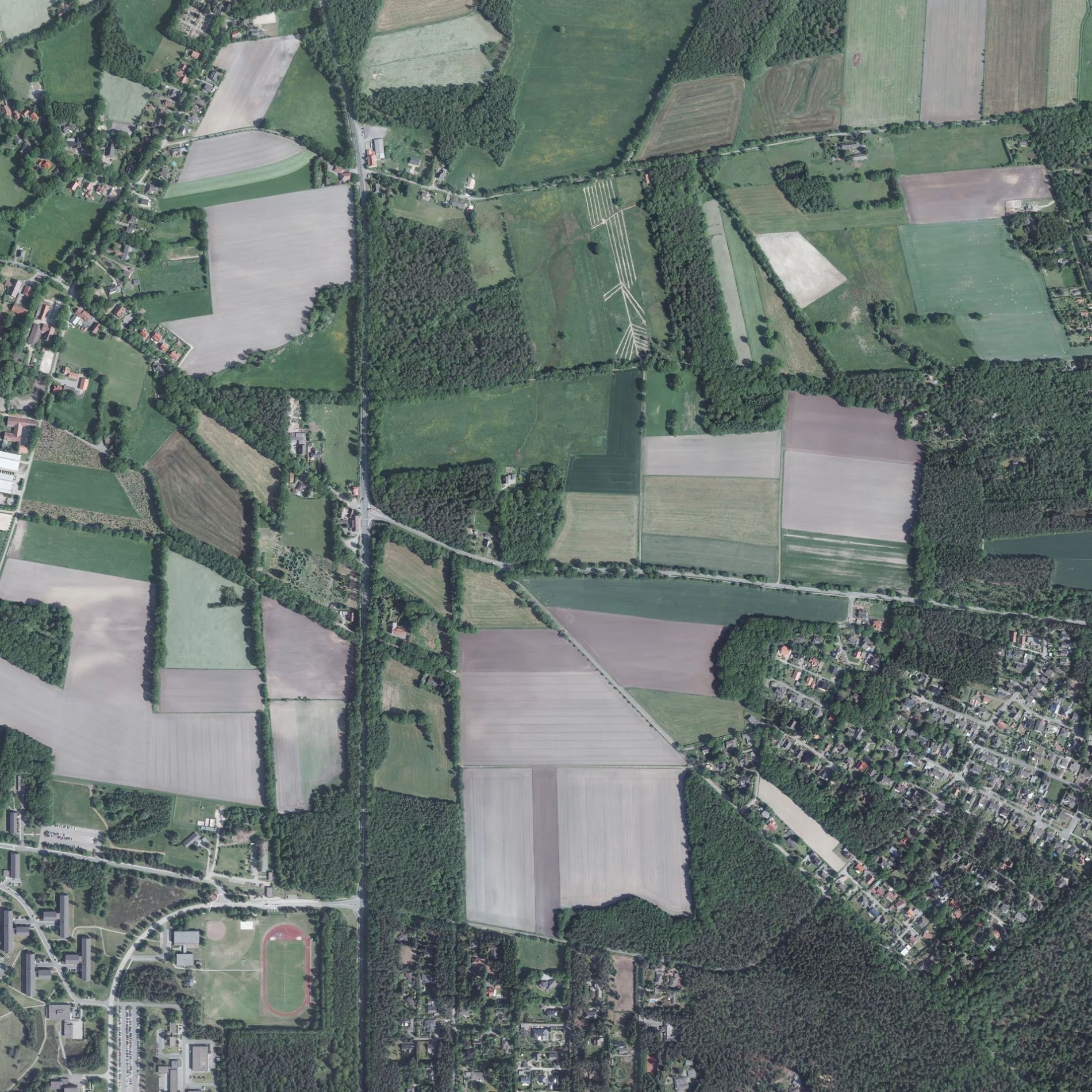
Der Kolkweg in Osterholz-Scharmbeck ist eine Nebenstraße. Die nächste Bushaltestelle in der Nähe ist Garlstedt Heidehof (ca. 150 m entfernt). Einen Kolkweg gibt es auch in Landkreis Aurich, Landkreis Leer, Landkreis Friesland und Landkreis Harburg.
- Straßentyp
- Nebenstraße
Bild
Gotteshäuser
Bushaltestellen
Straßen in der Umgebung
Bremerhavener HeerstraßeGarlstedt Birkenheide, Birkenheide, Up'n Swutsch, Garlstedt Heidehof, Garlstedt Hasselbrock, Garlstedt BW Logistikschule
50 m
Garlstedter Straße250 m
Am Kortenkamp300 m
Garlstedt Heidehof350 m
Flitteresche450 m
Garlstedt BW LogistikschuleGarlstedt BW Logistikschule
550 m
Alte Dorfstraße84, Garlstedt
600 m
Garlstedter KirchwegGarlstedter Kirchweg, Cordes, Tiergarten Ludwigslust, Ludwigslust, Tiere in Not, Garlstedt, Vor dem Raden
650 m
Hamburger Straße700 m
Feldkamp700 m
Bremer StraßeKapelle, Autohaus Ketelhohn, Hans-Dieter Harms, Jenny's Cut and Style
800 m
Isehorner WegAusZeit
850 m
Dresdener Straße850 m
Berliner Straße900 m
Vor dem Raden900 m
An den KiefernHinter dem Horn
900 m
Wandmachers Weg900 m
Eschenweg900 m
Saarbrücker Straße950 m
Hansaweg950 m
Hannoversche Straße950 m
Überm Fähr950 m
Bonner Straße950 m
Hohe BergOHZ-Garlstedt, Feuerwehrhaus, Friedhof
1000 m
Münchner Straße1,0 km
Heideweg1,0 km
Düsseldorfer Straße1,0 km
Hinterm Horn1,1 km
Im Dingenhof1,1 km
Tannenweg1,1 km
BirkenheideGarlstedt Birkenheide
1,1 km
Magdeburger Straße1,1 km
Übern Berg1,1 km
Kirchacker1,1 km
Distelkamp1,1 km
Kieler Straße1,1 km
Potsdamer Straße1,2 km
Schweriner Straße1,2 km
Am Rooksmoor1,3 km
Am Wetenkamp1,4 km
Am Stellhorn1,4 km
Wiesbadener Straße1,4 km
Alter Bremer Weg1,5 km
Feuerwachen in der Umgebung
Feuerwehrhaus Garlstedt800 m
Friedhöfe in der Umgebung
Friedhof Garlstedt1,3 km
Gebäude in der Umgebung
Dorfgemeinschaftshaus750 m
Kliniken in der Umgebung
Sanitätszentrum OHZ1,2 km
Militärgebiete in der Umgebung
Lucius-D.-Clay-Kaserne950 m
Wohngebiete in der Umgebung
Garlstedt-Ost1000 m
 ÖPNV-Stadtplan Osterholz-Scharmbeck Legende
 | Bahn | |
| Bus | |
| Straßenbahn |
 Fahrradstadtplan Osterholz-Scharmbeck Legende
 | Radweg | |
| Fahrradspur auf der Fahrbahn | |
| Radfahren auf der Busspur | |
| Fahrradstraße | |
| Für Radfahrer frei | |
| Für Radfahrer frei, guter Weg | |
| Radfahren verboten | |
| Kopfsteinpflaster |
| Fernradweg | (je nach Maßstab) | |
| Fernradweg |
 Fußgängerstadtplan Osterholz-Scharmbeck Legende
 | Pfad |
| Fernwanderweg | (je nach Maßstab) | |
| Fernwanderweg | ||
| Fußgänger verboten |