
Engelner Straße in Merzen
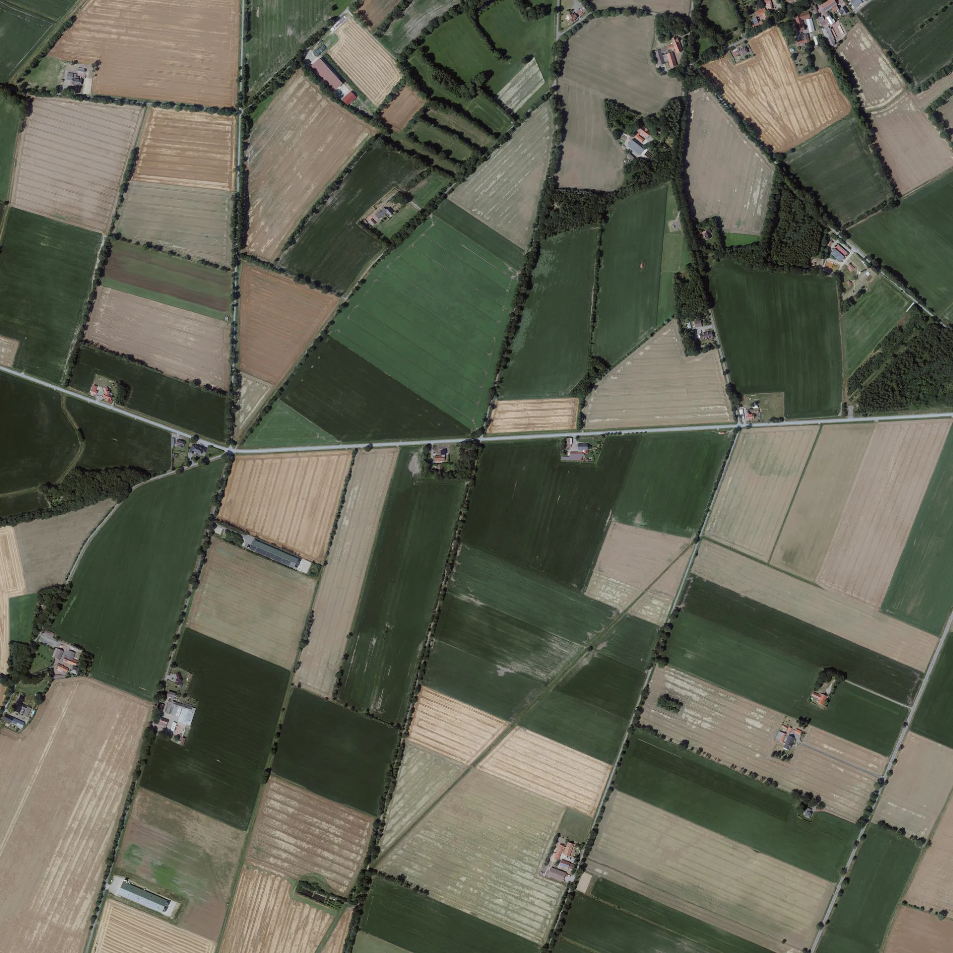
Die Engelner Straße in Merzen ist eine nicht klassifizierte Straße. Die nächste Bushaltestelle in der Nähe ist Engelern Prinz (ca. 150 m entfernt).
- Straßentyp
- nicht klassifizierte Straße
Bild
Gotteshäuser
Straßen in der Umgebung
Verlobungsweg400 m
Engelern MitteEngelern Prinz
1000 m
Am Feldwiesenbach1,0 km
Fürstenauer DammSchützenhalle
1,1 km
EmslandstraßeEngelern Alte Schule
1,2 km
Wulfsbergstraße1,4 km
Plaggenschale Mitte1,6 km
Sterthauk1,7 km
SchloßalleeSt. Clemens
1,7 km
Schlichthorster Straße1,8 km
Eichenweg1,9 km
Lechtruper Feldweg1,9 km
Siedlung2,1 km
Döllinghausener Straße2,2 km
Westerodener StraßeHeuer, Westeroden, Pausenbank Zum Talblick, Teich
2,3 km
Schmiedeweg2,3 km
HauptstraßeAus dem Moore, Schulte, Plaggenschale, Heile, Wolke, Glurich, Merzen, Schule/B218, Lamberti-Apotheke, Gasthof zum Löwen Massmann, von dem Brinke, Raiffeisenbank, Mein Markt, Theilmann, Volksbank
2,4 km
Dorfstraße2,5 km
Höckeler StraßeFriemerding, Wehlage-Teich
2,5 km
Engelerner StraßeEngelern
2,6 km
Moorweg2,6 km
Merzener Straße2,8 km
Voltlager StraßeHandweiser
2,8 km
Benken-Bokern2,8 km
Bruchstraße3,0 km
Lechtruper Torfweg3,0 km
Venneweg3,2 km
Fürstenauer StraßeAlte Schule, Gohmann, Heimatmuseum Höckel, Wielage
3,3 km
Knappstraße3,3 km
Lagerstraße3,3 km
Eschweg3,4 km
Lehmkuhle3,4 km
Auf dem Benken3,4 km
BarfusspadWacholderhain/Gräberfeld Plaggenschale
3,5 km
Infopfad Wachholderhain3,5 km
Auf den BenkenAuf dem Benken
3,8 km
Baumreihen in der Umgebung
Obstbaumreihe zum selberpflücken2,4 km
Gebäude in der Umgebung
Schützenhof Engelern-Schlichthorst950 m
Wilke Metallbau GmbH2,3 km
Schützenhalle Höckel3,2 km
Thale Eiergroßhandel3,6 km
Thale Elektronik3,8 km
Gräben in der Umgebung
Ahe2,4 km
Krebsbach3,8 km
Heiden in der Umgebung
Wacholderhain3,4 km
Industriegebiete in der Umgebung
Wasserwerk Plaggenschale1,4 km
Restaurants in der Umgebung
Gasthaus Gerbus2,3 km
Sportzentren in der Umgebung
Schützenhalle - Schützenverein Plaggenschale - Döllinghausen2,2 km
Unterstände in der Umgebung
Boekhauk1,8 km
 ÖPNV-Stadtplan Merzen Legende
 | Bahn | |
| Bus | |
| Straßenbahn |
 Fahrradstadtplan Merzen Legende
 | Radweg | |
| Fahrradspur auf der Fahrbahn | |
| Radfahren auf der Busspur | |
| Fahrradstraße | |
| Für Radfahrer frei | |
| Für Radfahrer frei, guter Weg | |
| Radfahren verboten | |
| Kopfsteinpflaster |
| Fernradweg | (je nach Maßstab) | |
| Fernradweg |
 Fußgängerstadtplan Merzen Legende
 | Pfad |
| Fernwanderweg | (je nach Maßstab) | |
| Fernwanderweg | ||
| Fußgänger verboten |